
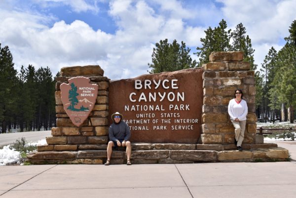
Hoodoo you love (Bryce Canyon National Park)
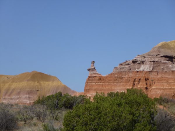
A hoodoo – besides being fun to say – is a tall, thin spire of rock that protrudes from the bottom of an arid drainage basin or badland.
Nowhere in the world are hoodoos so abundant as in the northern section of Bryce Canyon National Park. The hoodoos at Bryce Canyon experience more than 200 freeze-thaw cycles each year. In the winter, melting snow, in the form of water, seeps into the cracks and then freezes at night, similar to the way a pothole forms in a paved road.
Our special experience here was a horse ride down the canyon to the amphitheater. My horse’s name was Echelle and she liked to walk on the edge of the trail just barely not falling off the rim. The guide said she knows where she’s going, just let here go and enjoy the ride. I looked at the scenery and tried not to imagine plunging down the cliffside. Scott’s horse was named Patricia and she was a dependable old girl. Loved the ride, but boy were our hoodoos sore.
Snowy Utah sends us South to AZ
When we initially drove with the RV from the Grand Canyon towards Zion National Park, we saw some lovely lakes, mountains, and rivers and wished we could have stopped. Funny how things work out. A snow storm hit southern Utah including, Zion and Bryce Canyon National Parks. While we like to hike, we don’t like to hike in snow if we can help it. The weather south was sunny, so we took the opportunity to go back to AZ to explore with our new pickup truck.
Glen Canyon National Recreation Area
This is a very scenic area that millions flock to in the summer to boat on Lake Powell.
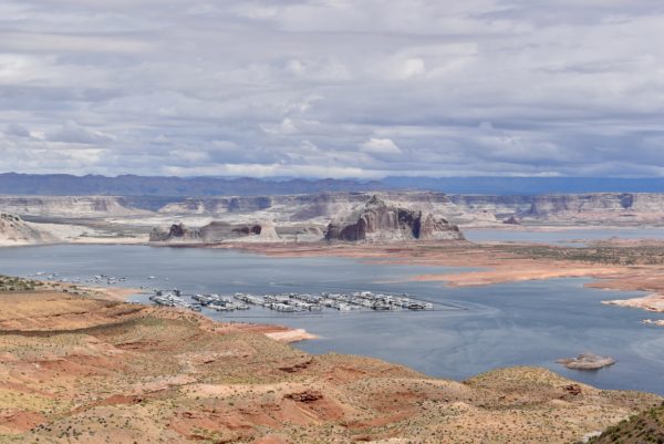
Nearby is the Glen Canyon Dam.
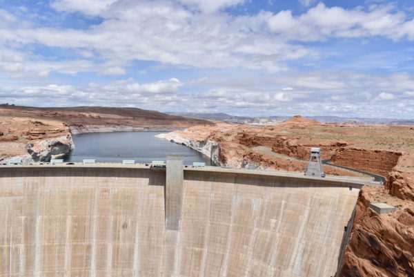
Lake Powell is a reservoir for the Colorado River. Further up the road is the Navajo Bridge that provides a Colorado River crossing between Northern Arizona and Southern Utah.
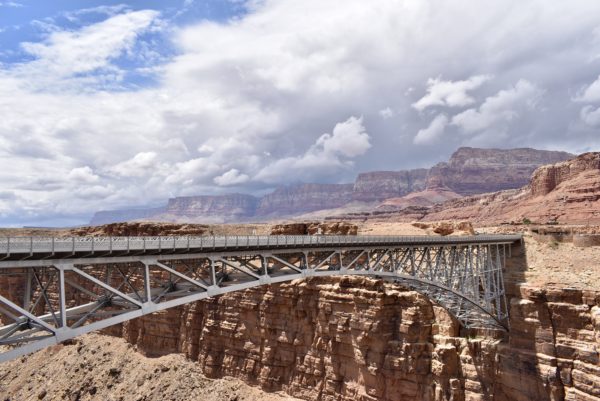
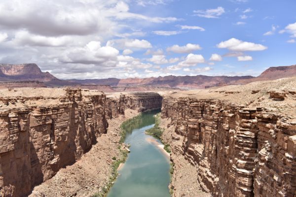
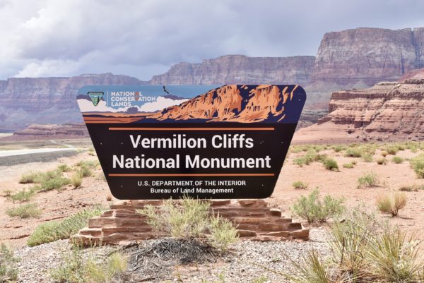
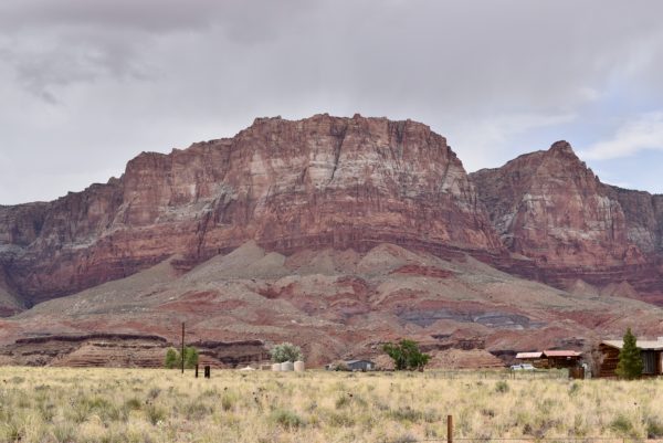
Vermilion Cliffs
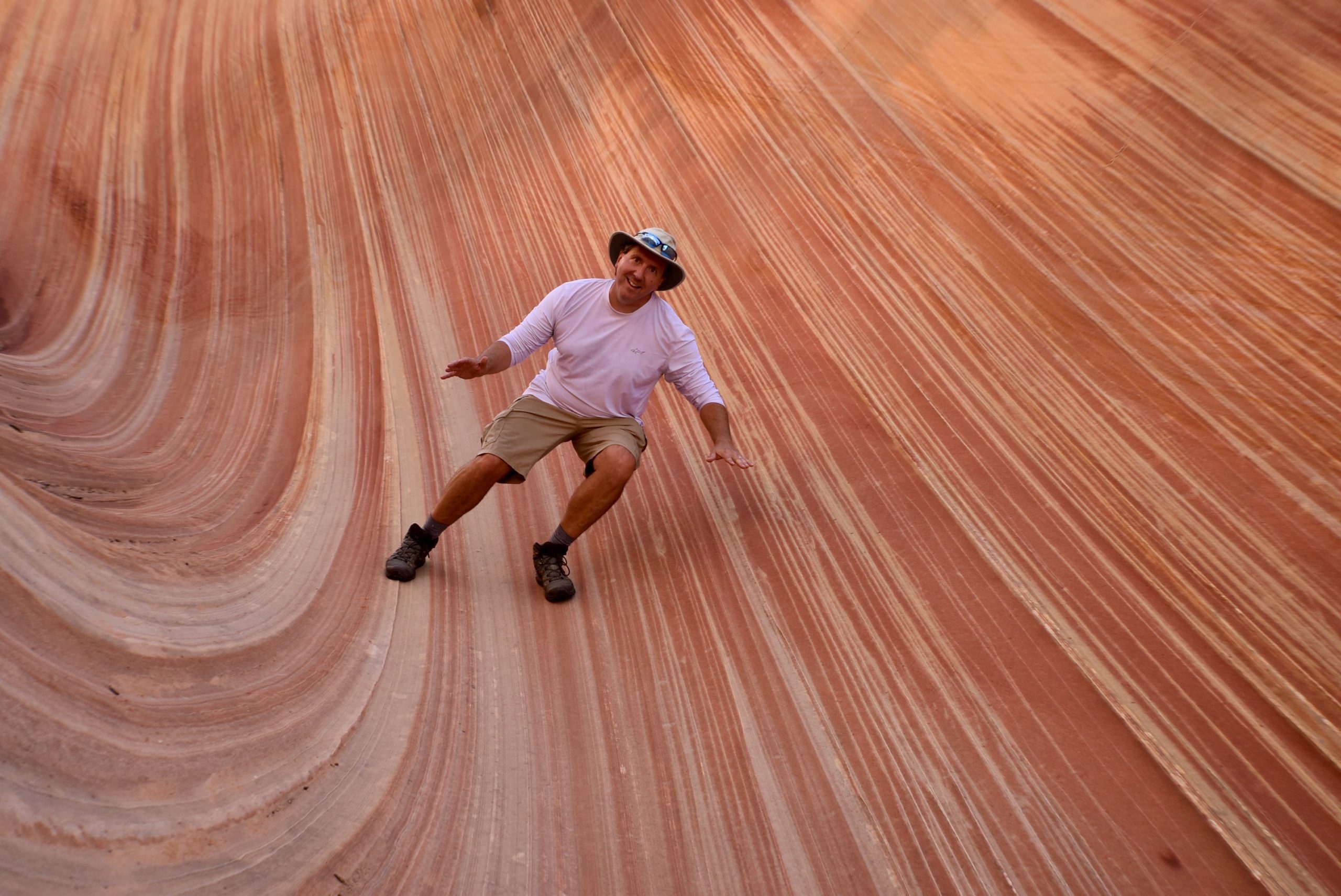
Vermilion Cliffs is a national monument that covers over 293,000 acres of land. Within this monument are some beautiful striated seas of rust, purple and gold sandstone rolling across the desert of Arizona. A permit to hike here is required in most areas, and the most popular hikes require a four month advance request for a permit. We definitely want to come back to explore this area in more depth.
North Rim Grand Canyon
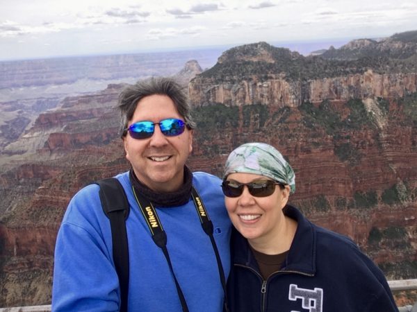
The North Rim of the Grand Canyon doesn’t open until May 15th due to bad weather. The North Rim is much less commercial than the South Rim and with less people, it was great to walk around the trails.
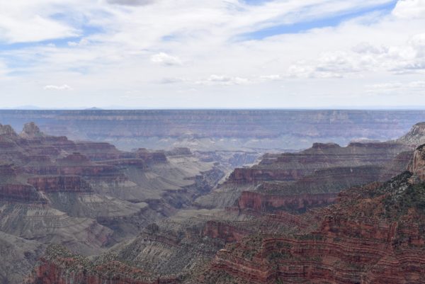
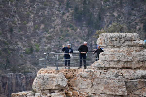
Grand Canyon National Park
We spent ten days at the South Rim of the Grand Canyon to see it from all angles – above, below, and on the rim. We were so impressed with the magnificence of this natural wonder that we went overboard on the pictures. With hundreds of pictures it was impossible to pick only a few for a post, so we made a video instead. Please comment below and let us know what you think.
Petrified Forest National Park
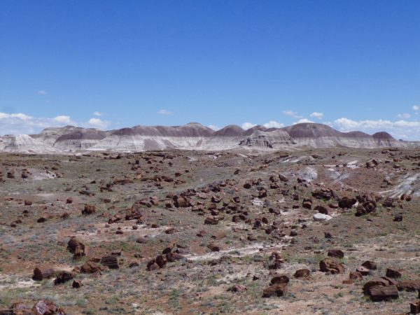
We took the name of the park literally and expected a forest of petrified trees standing vertically. Before we arrived our pals, Bob and Becki, told us that this was not the case.
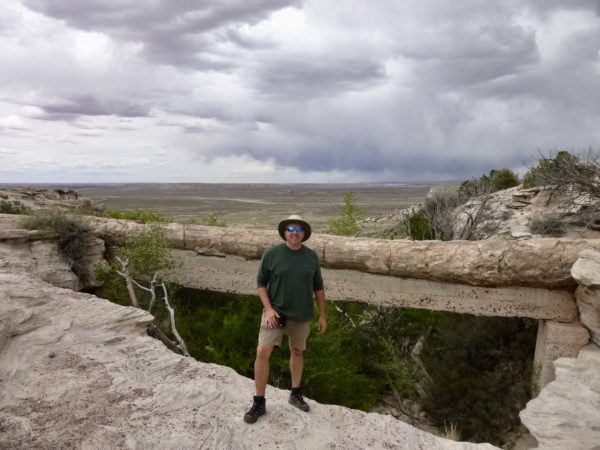
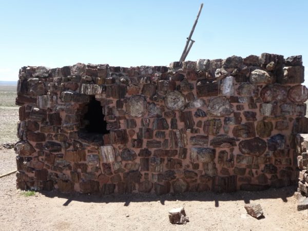
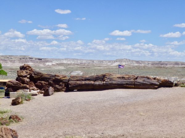
So what’s the deal? Millions of years ago, when there was only one continent instead of seven, this area of the US was where current day Costa Rica is today. At that time, this area was a rainforest with a tropical environment. The continent broke up, volcanoes erupted, and the trees were buried beneath layers of silt, mud, sand, and volcanic ash. Over time, the organic tree material was replaced with minerals like silica and quartz. Now this petrified forest is not made of wood, but of stone.
Painted Desert
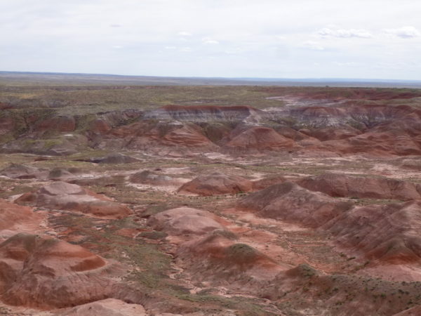
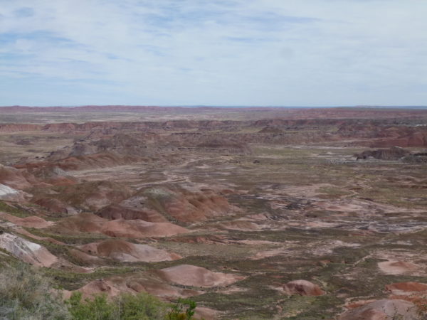
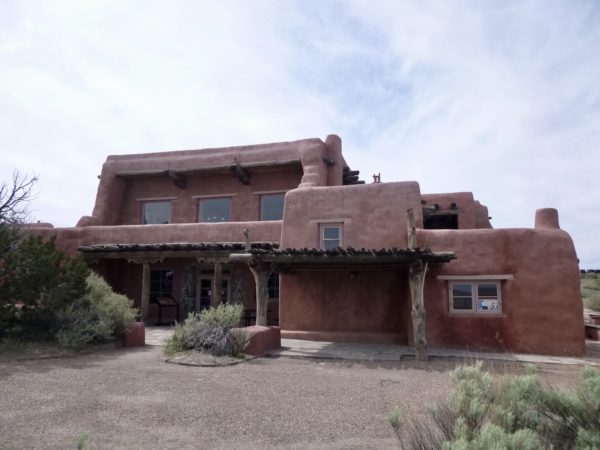
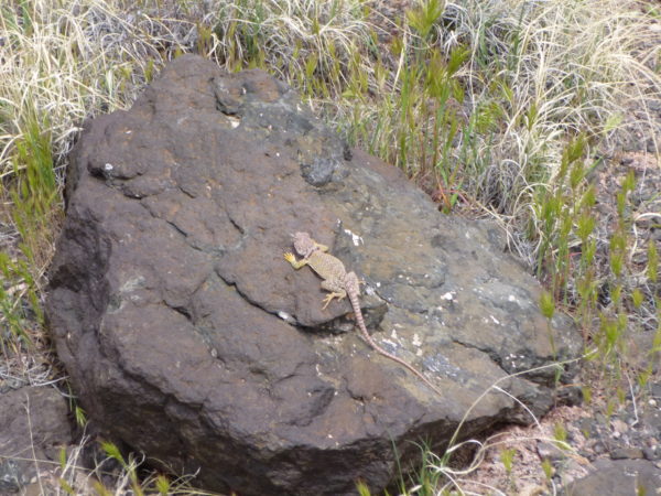
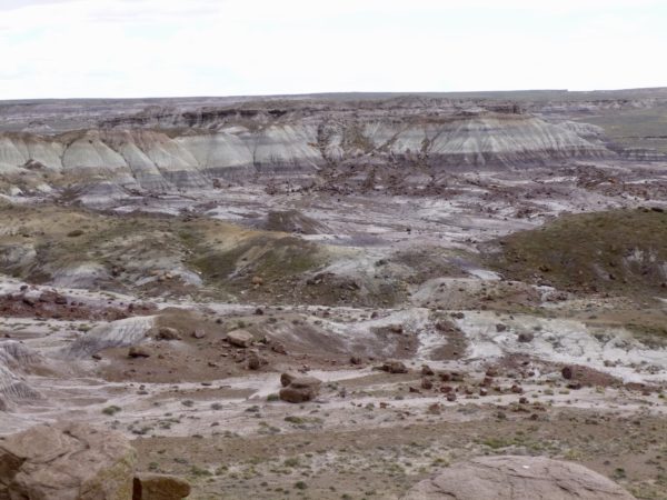
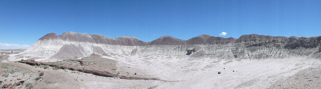
We took a short walk in the wilderness area along the sculpted badlands. We saw some wonderful formations and some wildlife.
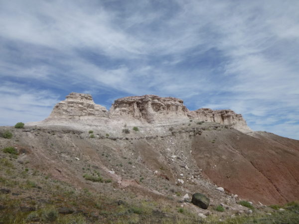
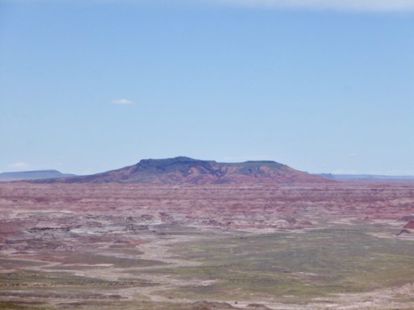
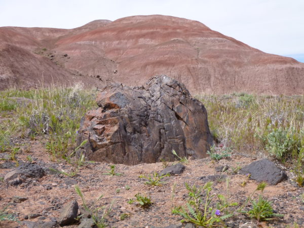
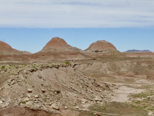
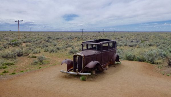
Route 66 used to go right through the park. The electrical lines in the background show where the highway used to run.
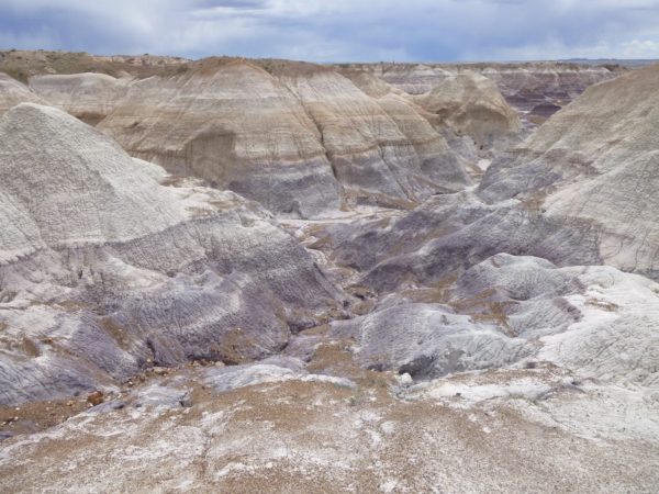
Tepees and Blue Mesa
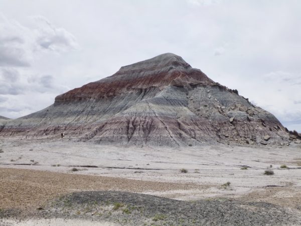
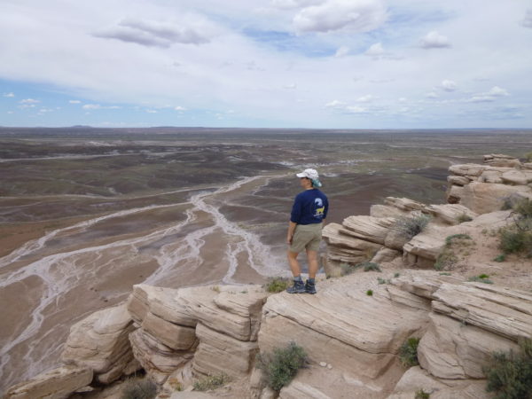
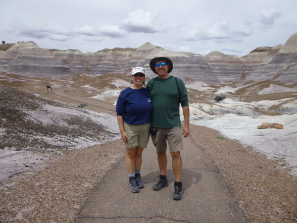
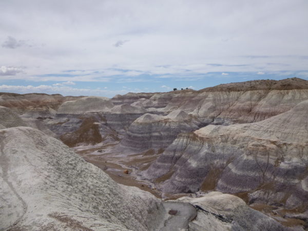
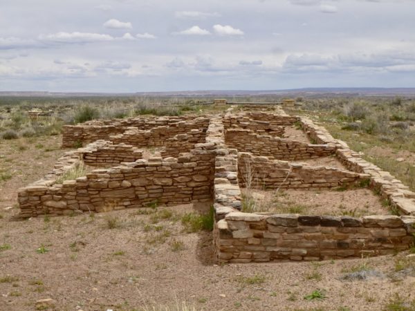
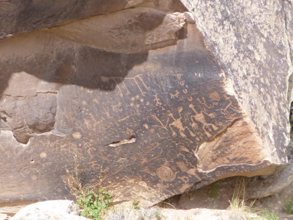
Ruins, Petroglyphs, and Trees
Crystal Forest
Many petrified logs glimmer with quartz crystals.
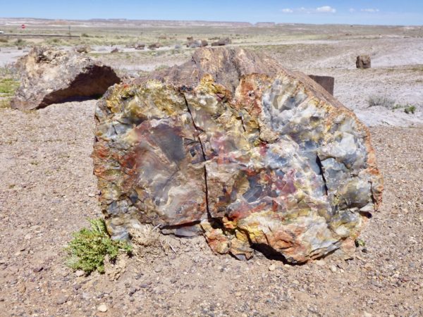
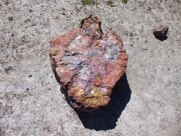
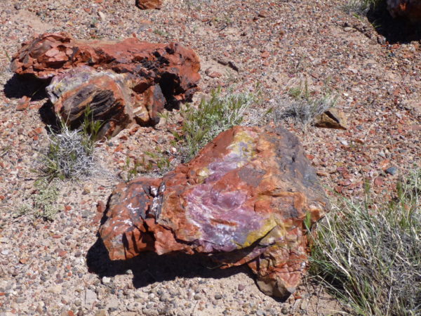
Long Logs and Agate House Trails
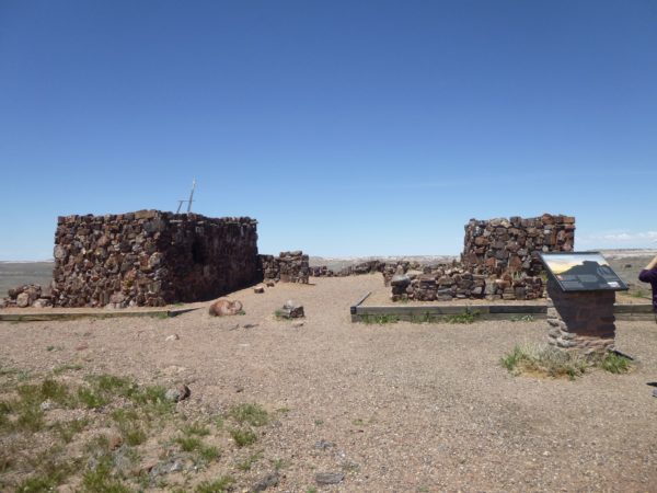
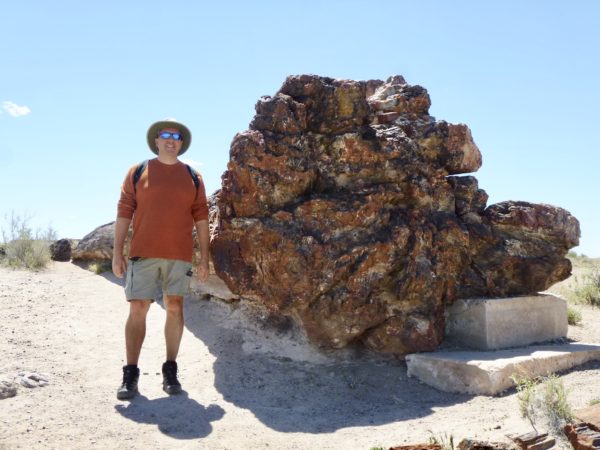
Giant Logs
Next stop will be the Grand Canyon for 10 days.
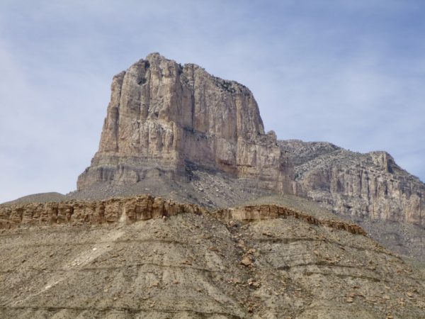
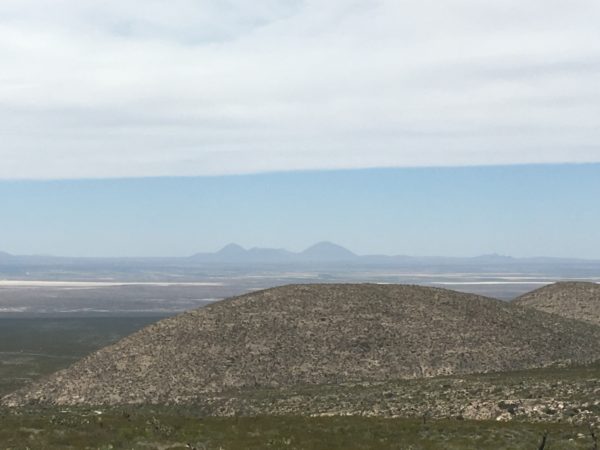
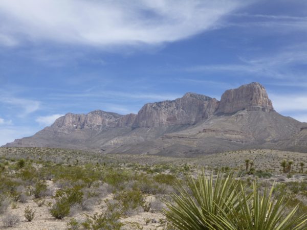
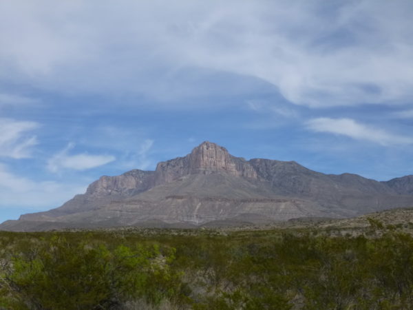
Guadalupe Mountains National Park
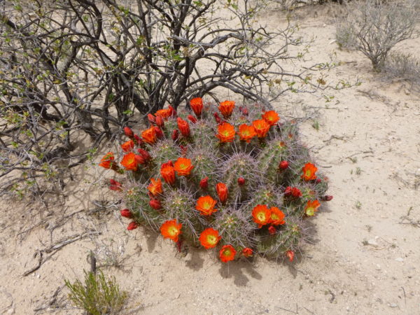
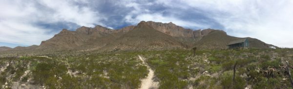
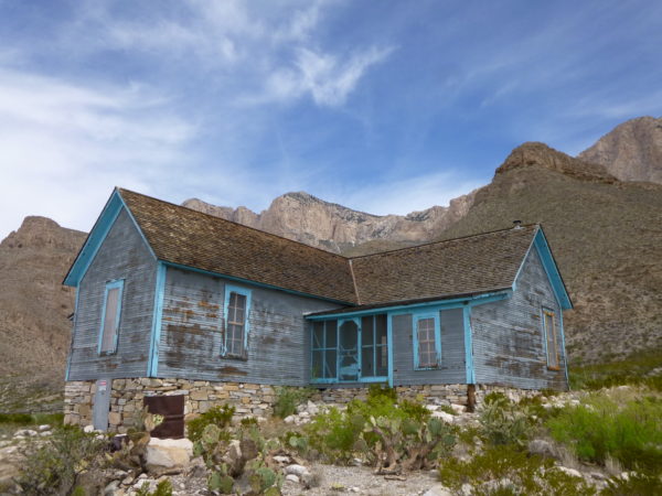
Guadalupe Mountains National Park protects the world’s most extensive Permian fossil reef, the four highest peaks in Texas, and an environmentally diverse collection of flora and fauna. Plus, it’s kinda cool to see.
We were going to hike the Guadalupe Peak – the highest peak in Texas at 8,751 ft. – but it is a strenuous hike and with the high winds; we decided to pass this time.
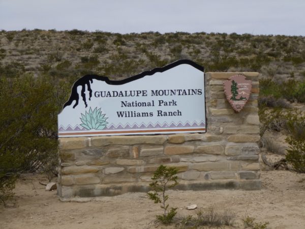
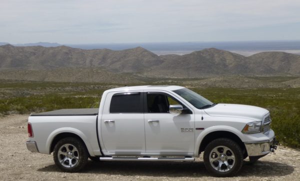
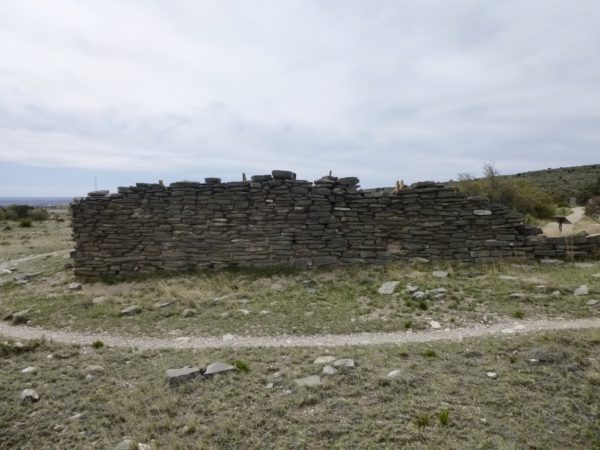
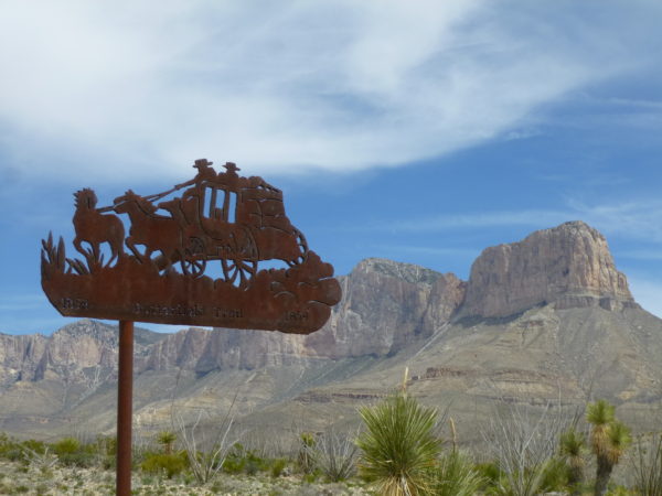
Instead we took our new to us 4×4 Ram 1500 truck to Williams Ranch Road, a very bumpy 7.25 mile drive over what used to be the Butterfield Overland Mail Stage Line. It is surprising the mail ever got delivered and the west explored as it was an incredibly jarring drive.
Next stop will be Petrified Forest National Park in Arizona.
Palo Duro Canyon State Park
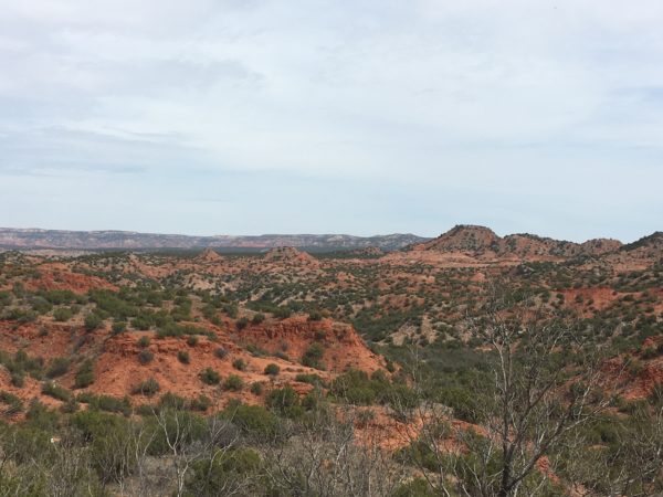
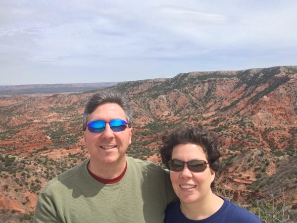
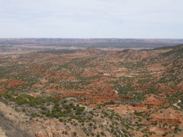
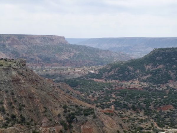
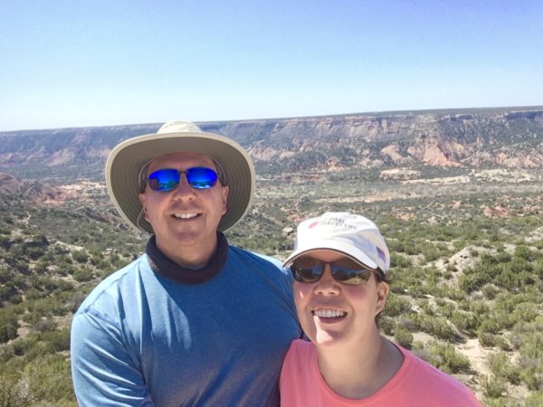
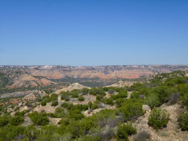
We stayed in Amarillo previously for a night and everyone said you must come back to see Palo Duro Canyon. We stayed for two weeks to explore. The colors of the canyon are amazing. Our stay included a brutal windstorm that swept through the country. We hunkered down in the RV with the slide-outs in for two days at the RV park. It was cramped conditions, but we were concerned about the slide toppers tearing with the 70+ mph gusts forecasted.
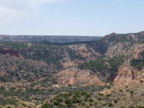
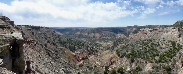
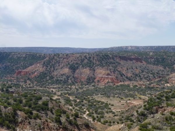
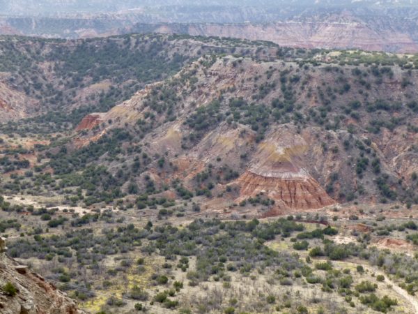
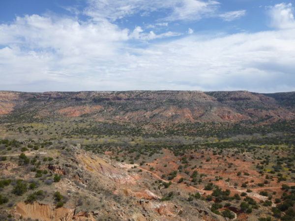
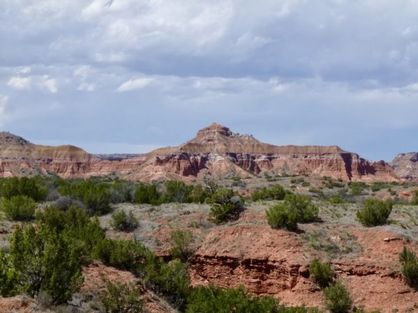
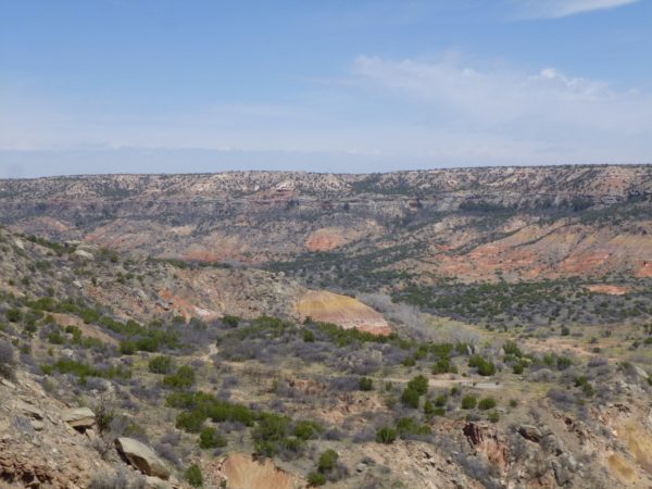
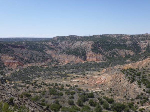
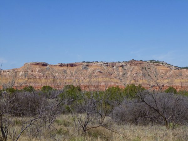
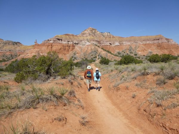
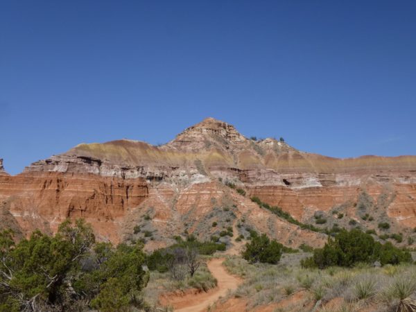
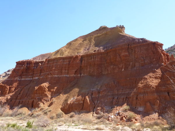
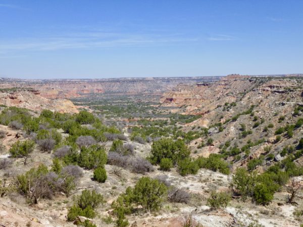
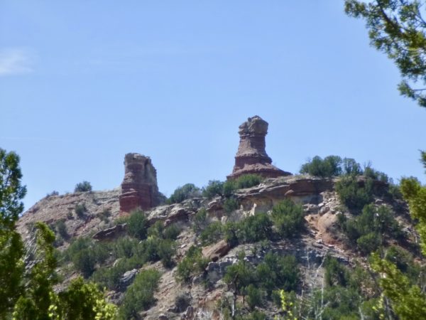
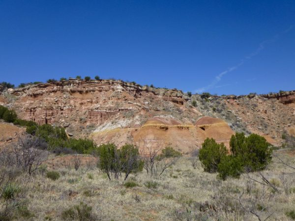
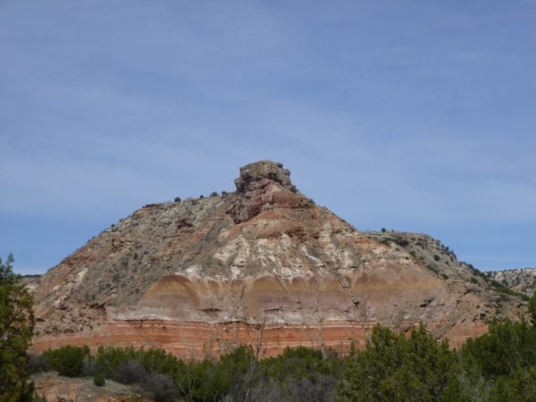
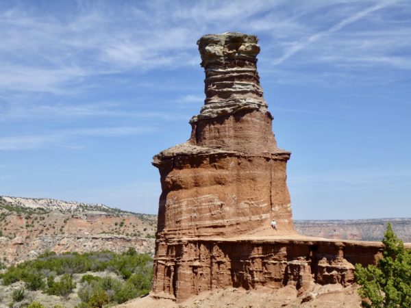
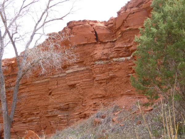
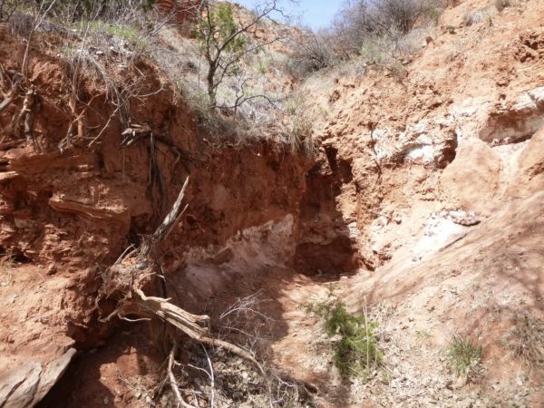
Palo Duro Canyon is a canyon system located in the Texas Panhandle near the cities of Amarillo and Canyon. As the second-largest canyon in the United States, it is roughly 120 mi long and has an average width of 6 mi. Its depth is around 820 ft, but in some locations, it increases to 1,000 ft. Palo Duro Canyon (from the Spanish meaning “hard wood”) has been named “The Grand Canyon of Texas” both for its size and for its dramatic geological features, including the multicolored layers of rock and steep mesa walls similar to those in the Grand Canyon.
Scenic Drive
We took a 40 mile drive along TX Highway 27 to get a view of the Palo Duro from outside the State Park. The colors are spectacular and worth a trip.
CCC Trail
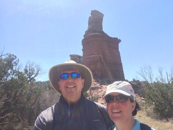
Lighthouse Trail
Rock Garden Trail
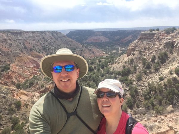
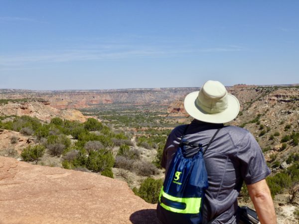
This trail takes you to the top of the rim for a beautiful view of the canyon below.
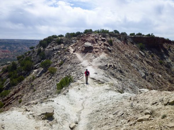
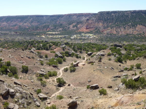
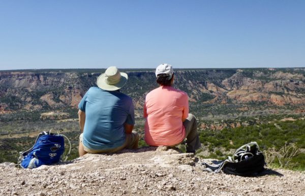
Sunflower & Paseo Del Rio Trails
Next stop is Van Horn, Tx and Guadalupe Mountains National Park.