Valley of Fire State Park
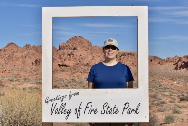
Located in the Mojave Desert, Valley of Fire State Park derives its name from red sandstone formations (the Aztec Sandstone) which formed from shifting sand dunes 150 million years ago. These features, which are the centerpiece of the park’s attractions, often appear to be on fire when reflecting the sun’s rays.
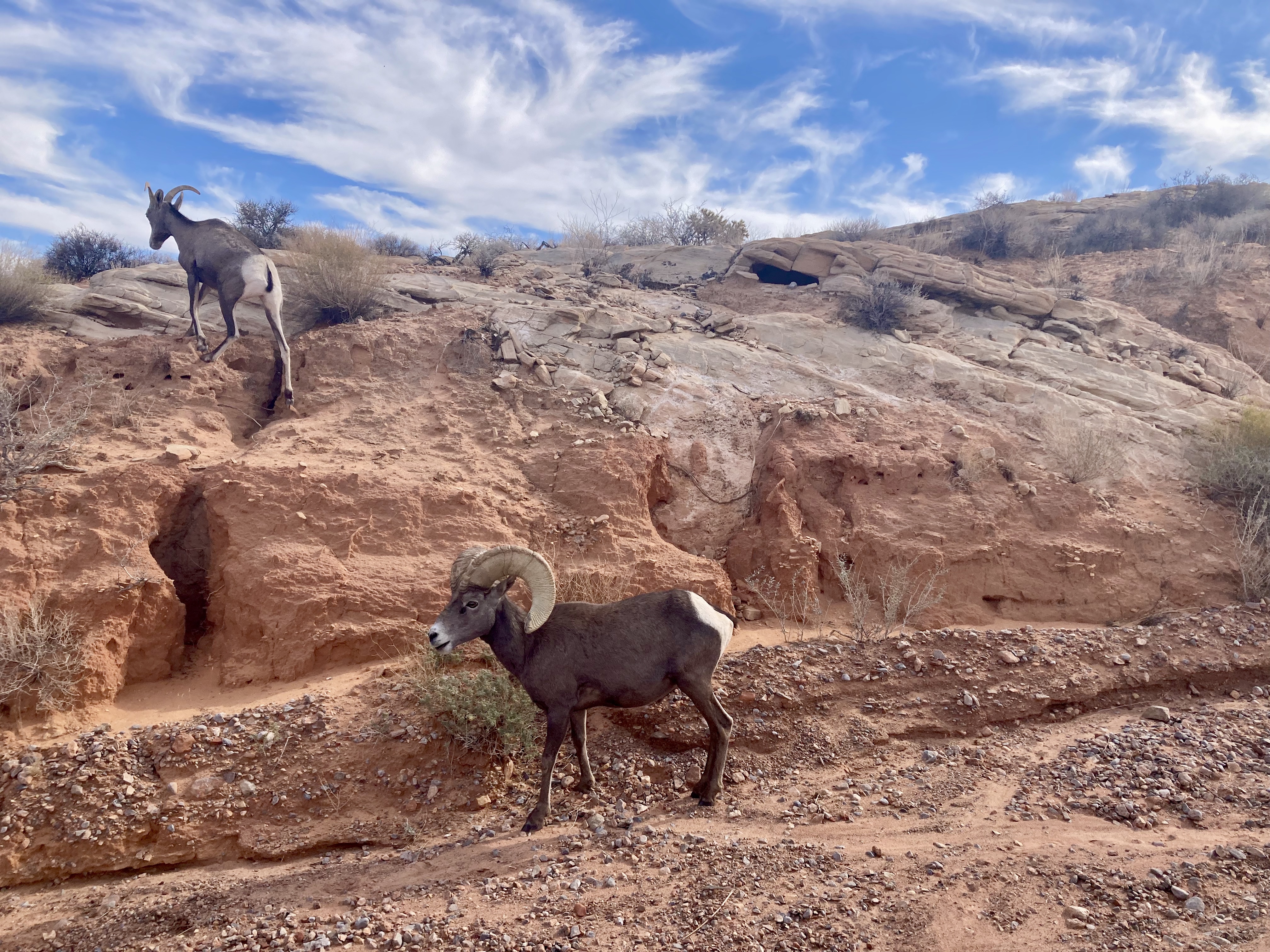
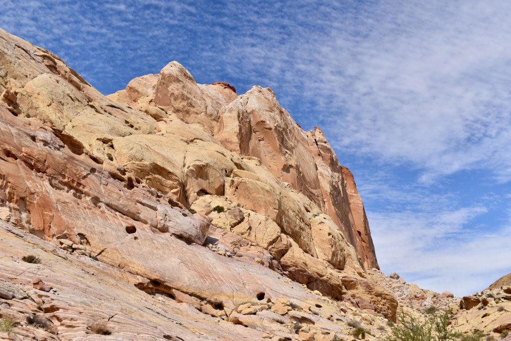
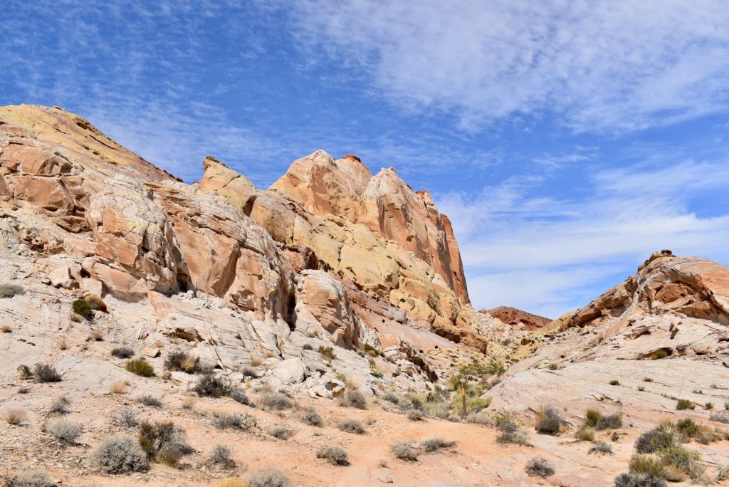
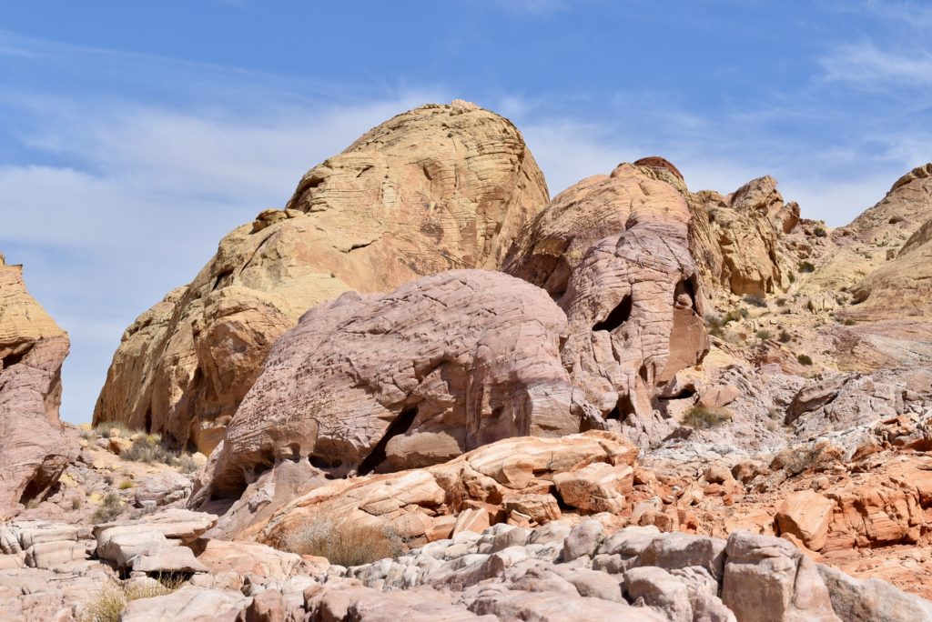
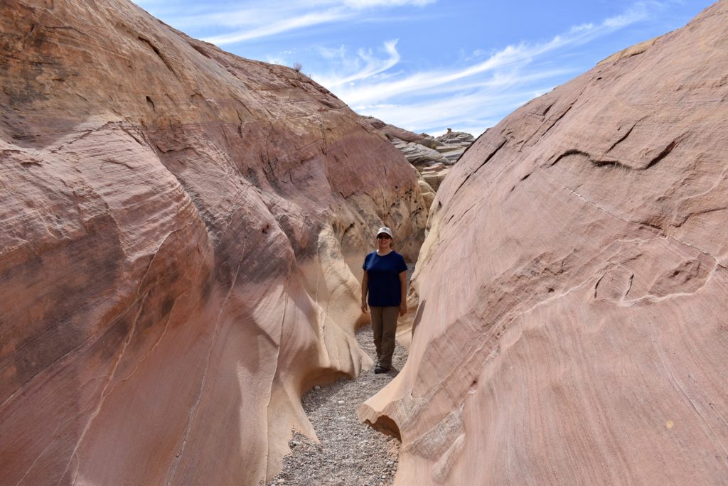
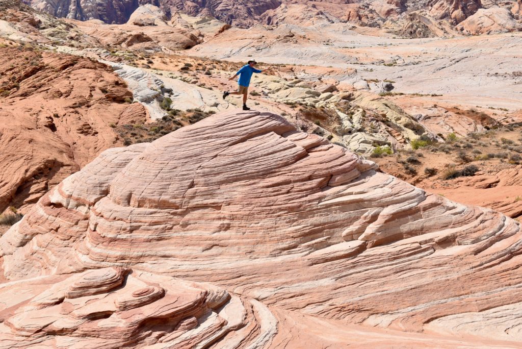
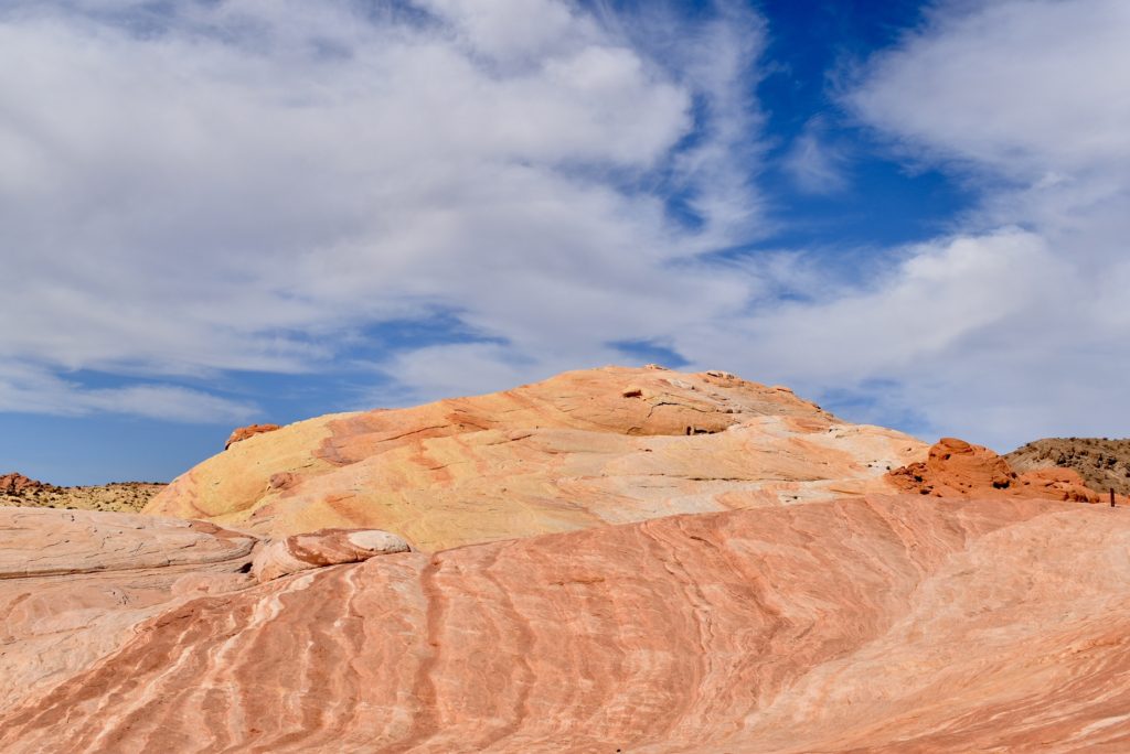
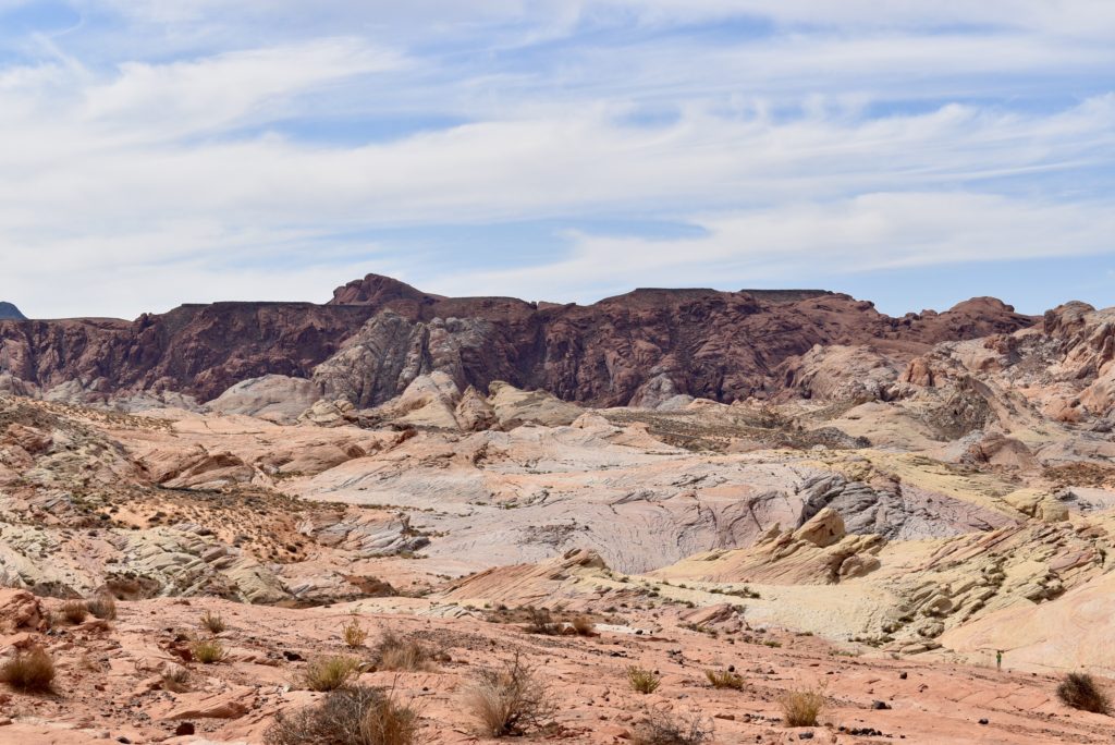
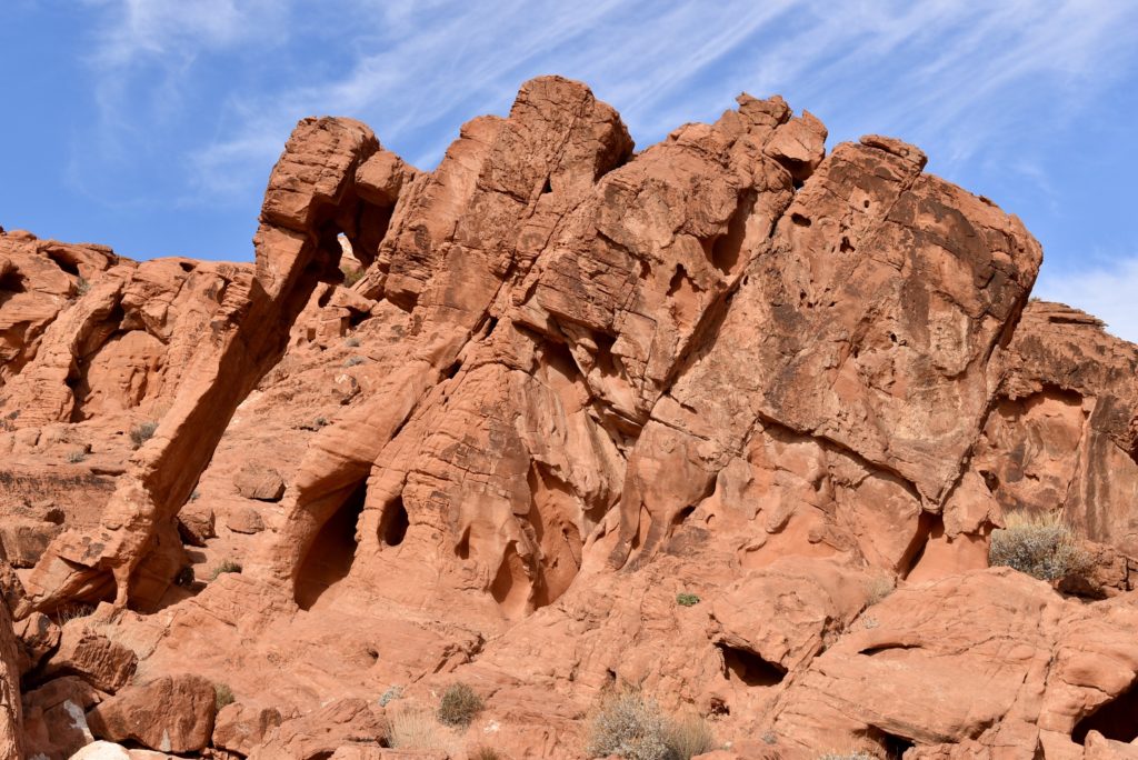
To me the colors look like sherbert. It would have been a nice treat in the desert sun.
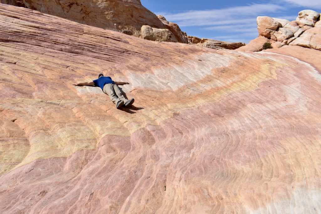
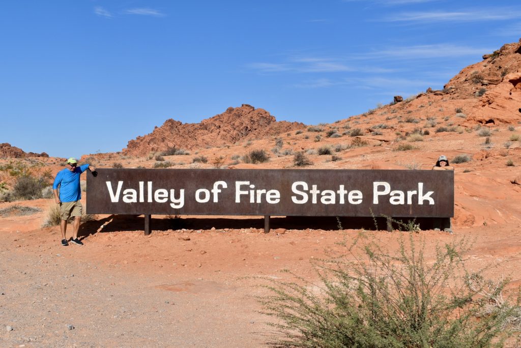
This is the last post for 2021. We will do the year in review video soon. With the colder weather rolling in, we are taking a break from our travels until the weather warms up.
Turn the Page
Here we are, on the road again…We went through Page, Arizona a few years ago to get to the Grand Canyon. It was so beautiful that we stopped briefly to take pictures of Lake Powell and the Glen Canyon Dam. We told ourselves that we would be back and spend some time exploring the area. You can see that post here. We finally made it back.
Below is a partial view of Lake Powell from our campsite.
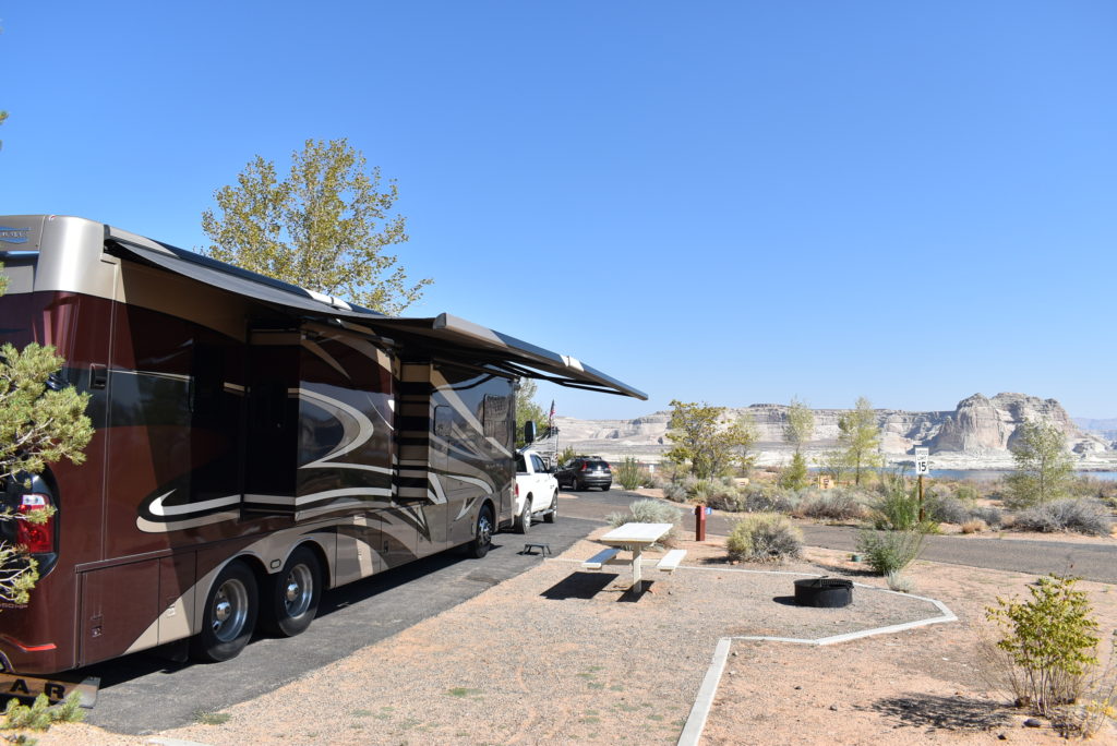
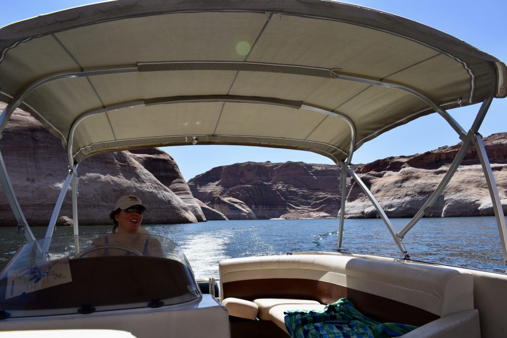
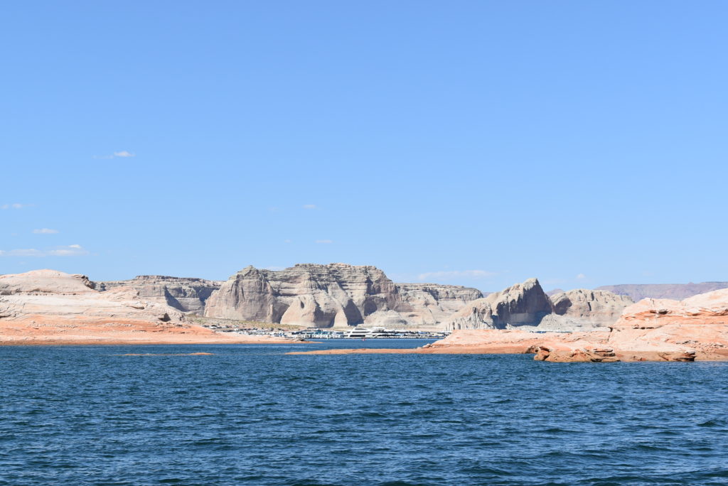
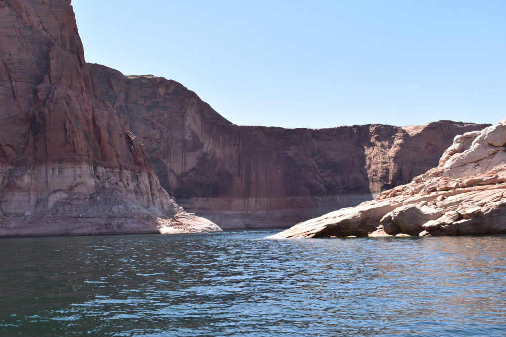
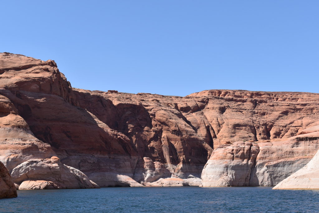
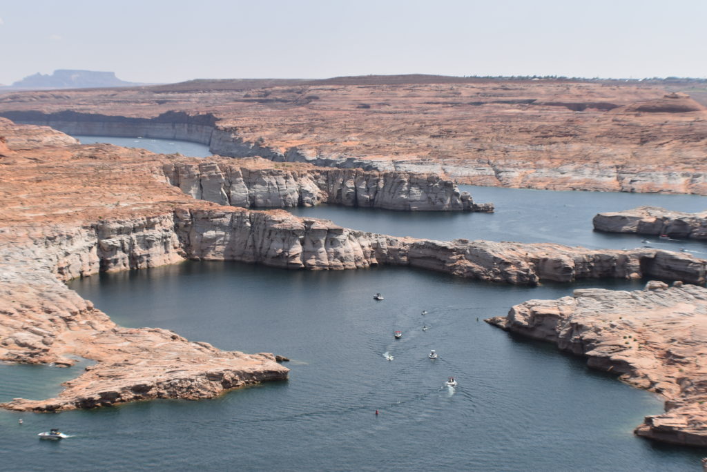
We rented a pontoon boat for the day and explored the lake. It is huge with a lot of nooks and crannies.
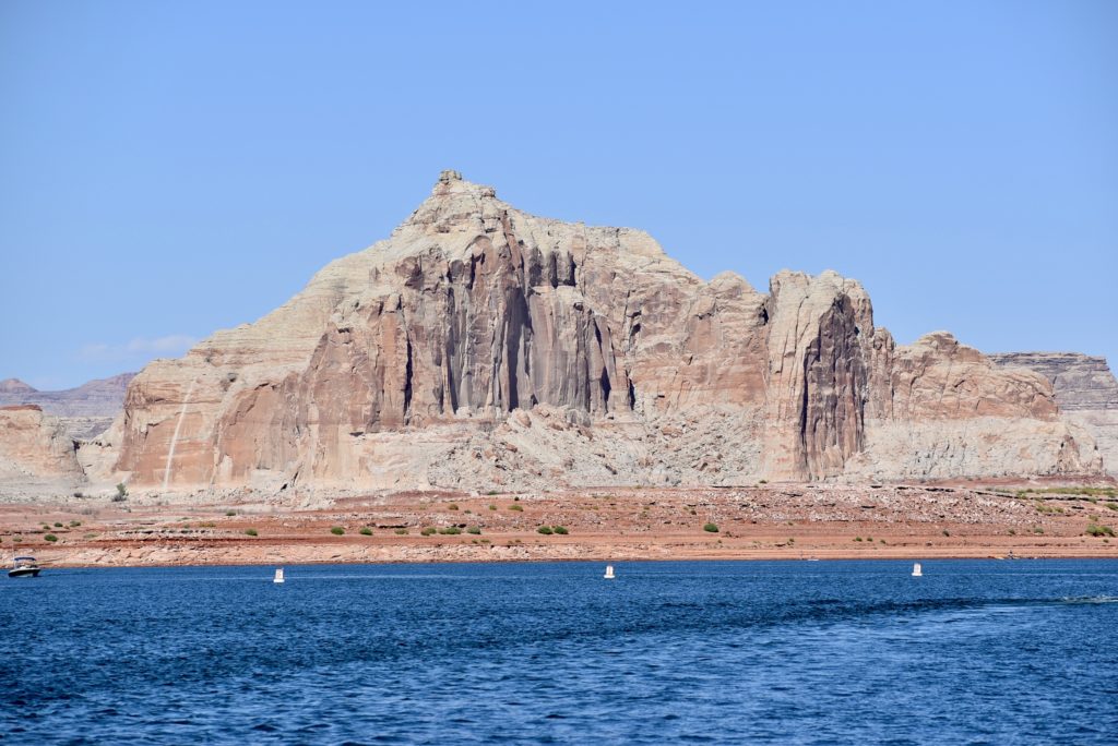
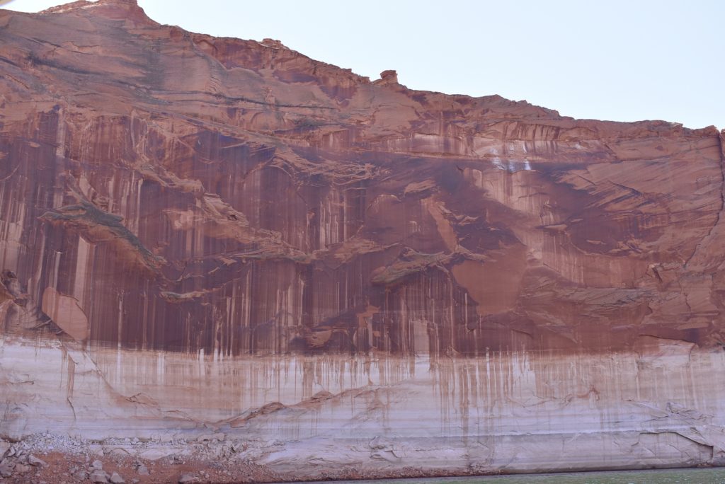
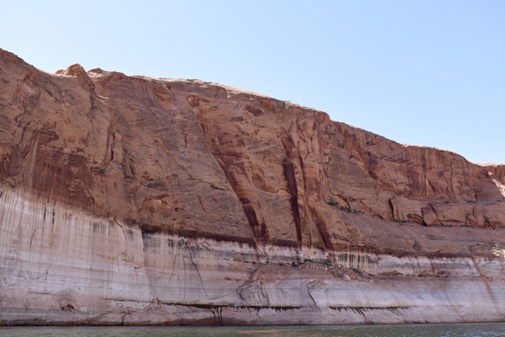
Last years drought really had an impact on water levels here. See the white line in the mountain below where the water is normally? This was a drop of more than 50%.
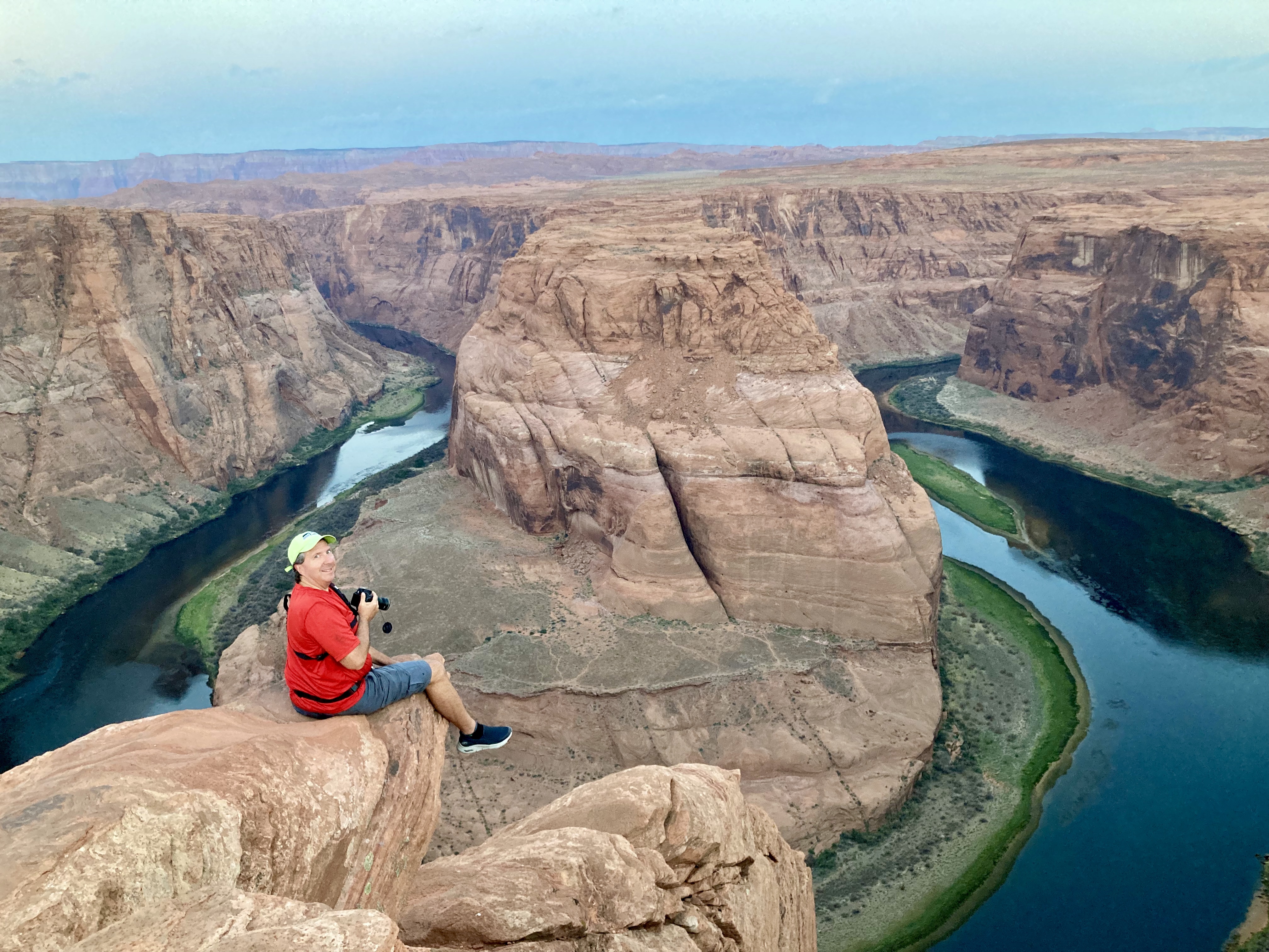
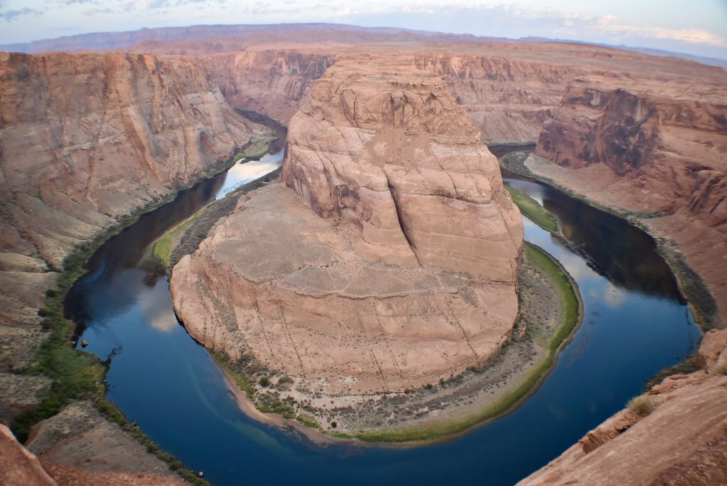
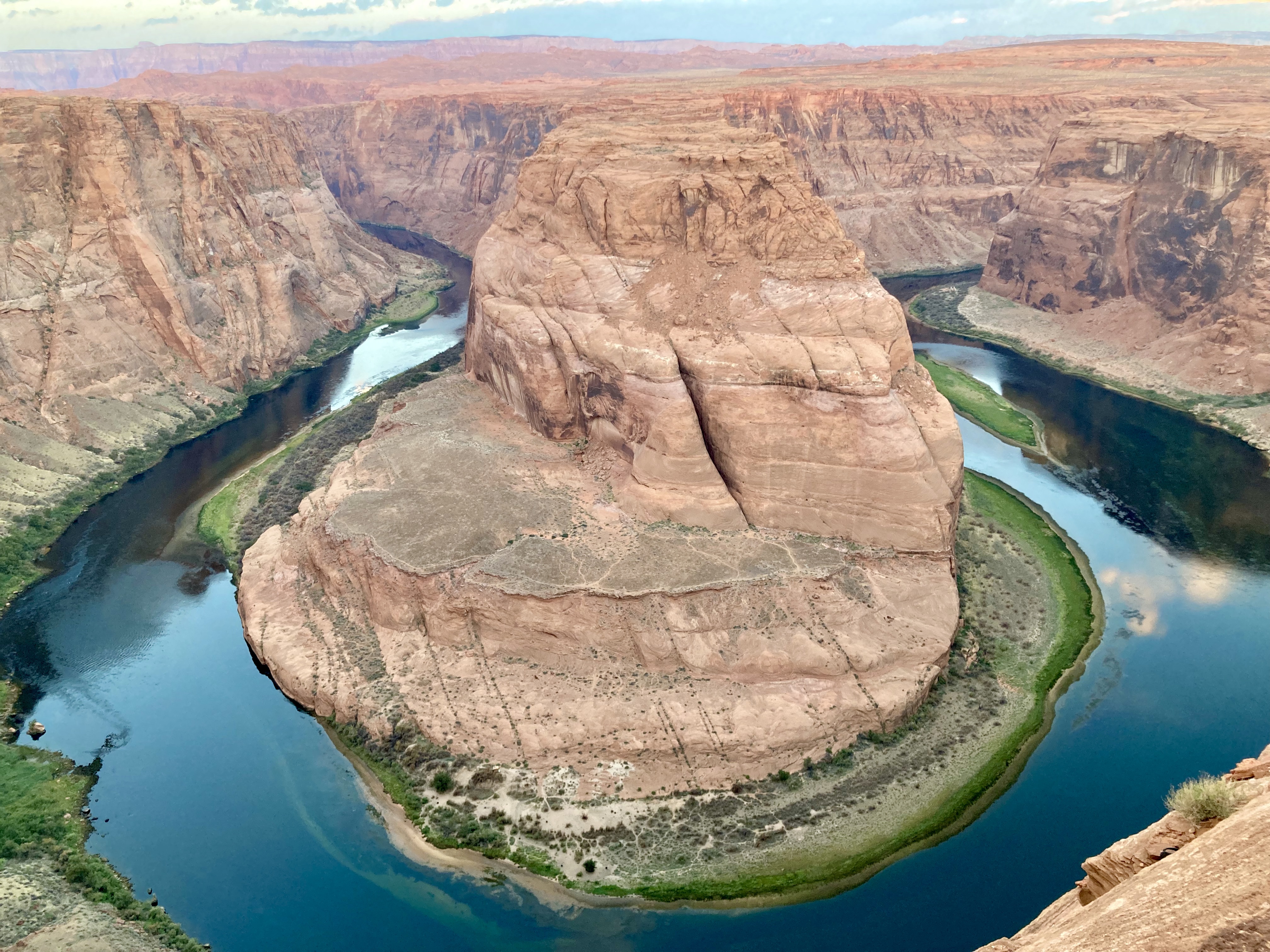
We got up before the sun to get a picture of the famous Horseshoe Bend. Horseshoe Bend is sometimes referred to as the “east rim of the Grand Canyon.” The Colorado River has carved out this odd shape over millions of years.
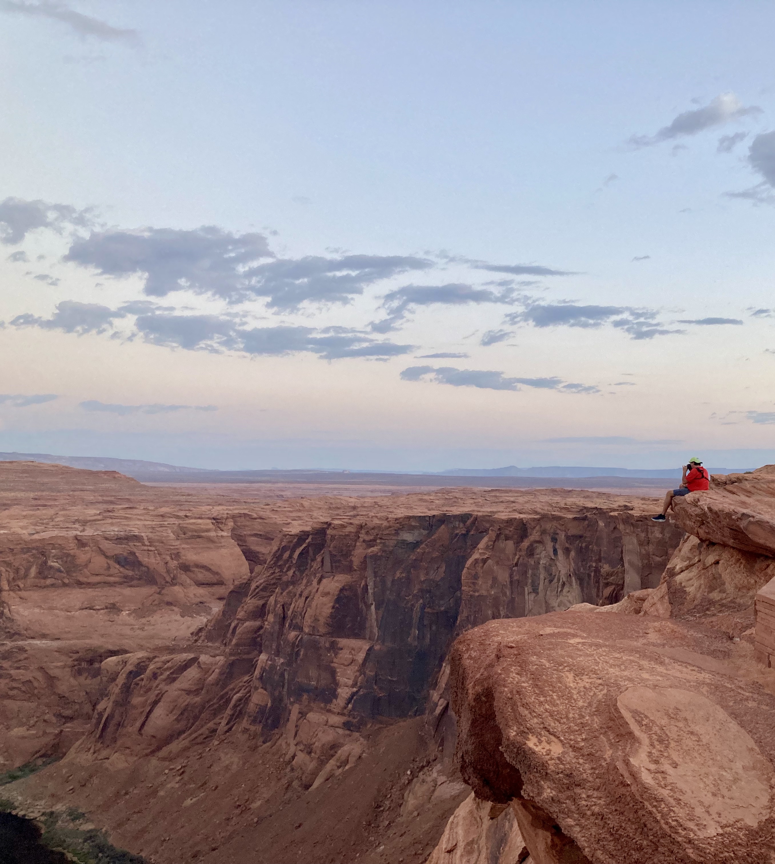
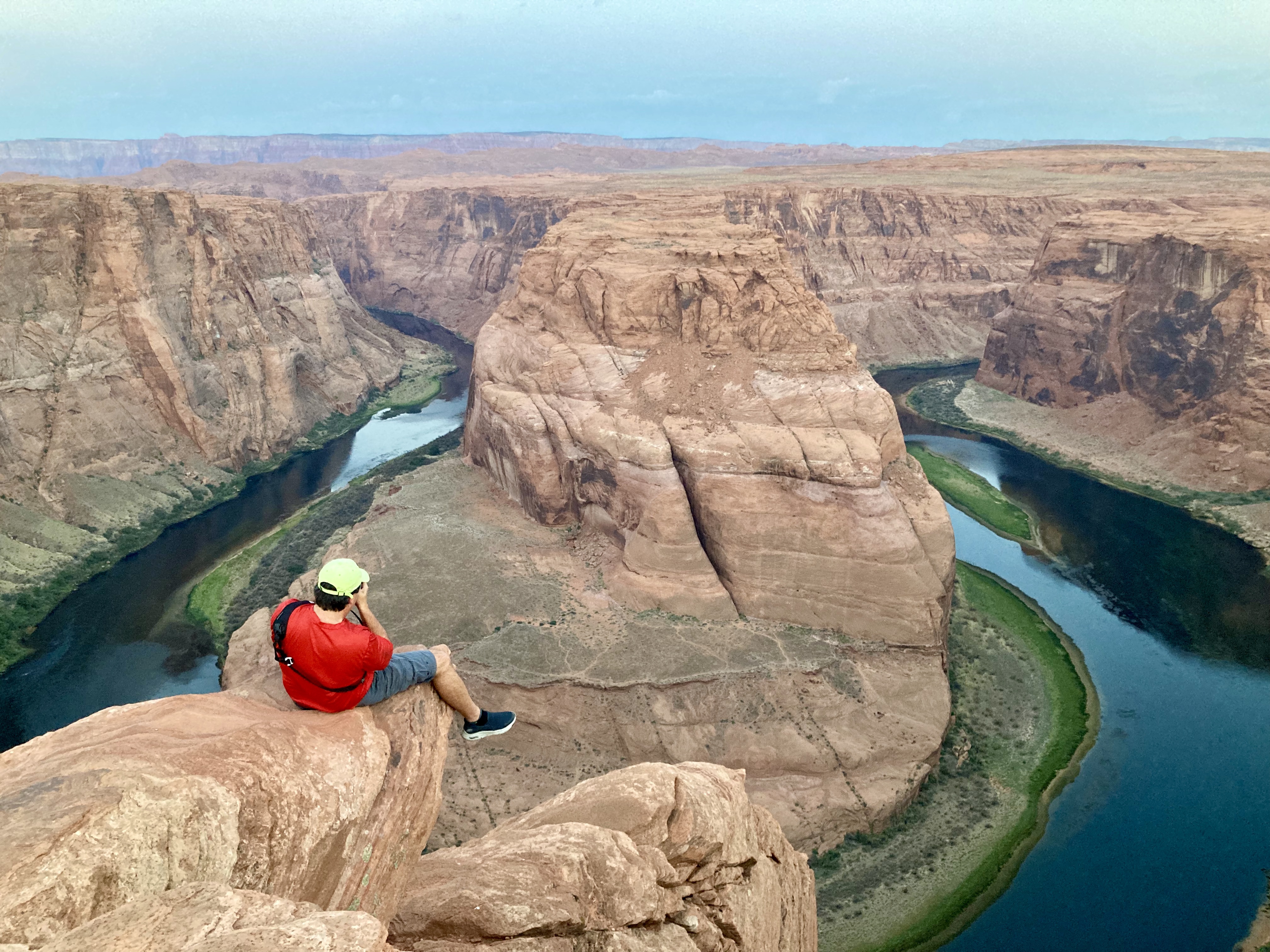
The very steep cliff that Scott is sitting on to take a picture of the Horseshoe Bend.
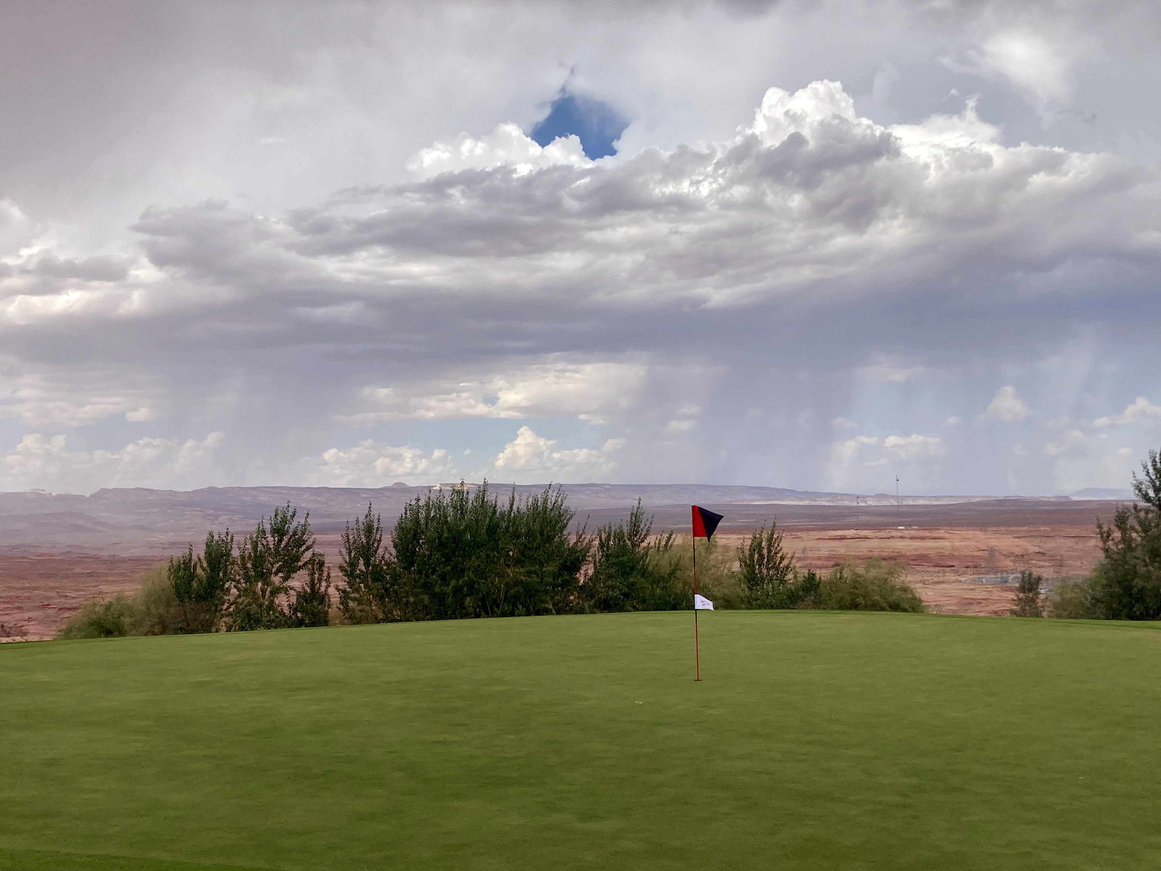
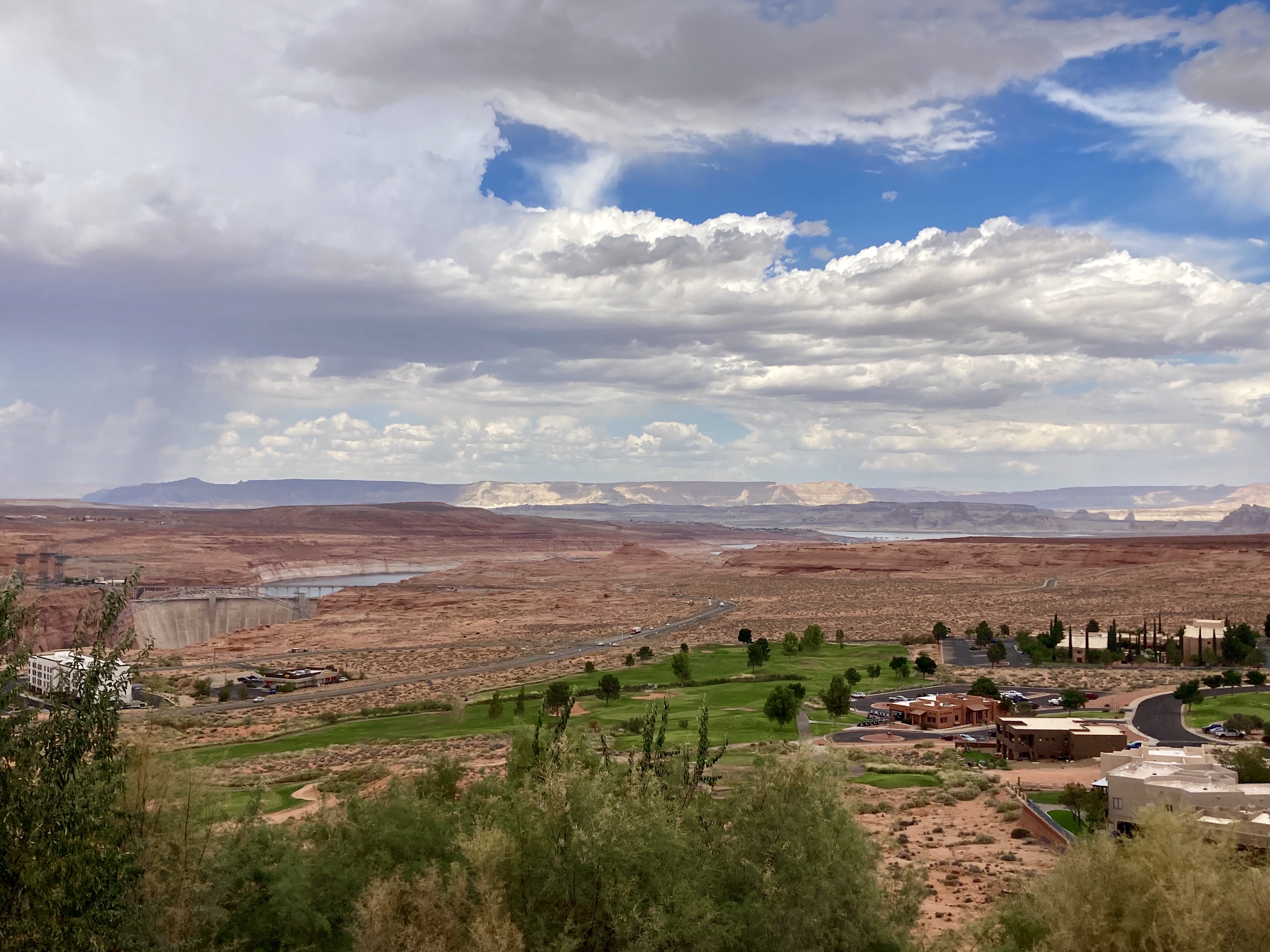
Scott got a round of golf in at Lake Powell National Golf Course. Scenic view of the Glen Canyon Dam, Lake Powell, and city of Page in the distance.
The Wave
Besides running a half-marathon, the other goal for my birthday this year was to see the Wave in Arizona. The Wave was made popular when Microsoft included an image of it in their desktop wallpaper options in 2009, after which hikers, photographers, and the curious have been going en masse to see this wonderful formation.
Getting to the Wave
The suggested route to The Wave is a strenuous 6.4-mile round-trip hike in a wilderness area with very few markers. I read that 25% of the people get lost and never see it. Since there are so many visitors, you must have a permit to see the Wave.
There are two ways to get a permit; through the online lottery or the walk-in lottery. I tried the online lottery but was unsuccessful. After we arrived, Scott got up early in the morning and applied for the walk-in lottery. They only allow 10 people per day and you have to apply everyday in person. We were prepared to stay a week and go every morning for our chance to see the Wave. Scott won the first time. This is incredible, because the chances of winning a permit is about 3.5%. The chances that day of winning were about 7%. Scott is so lucky.
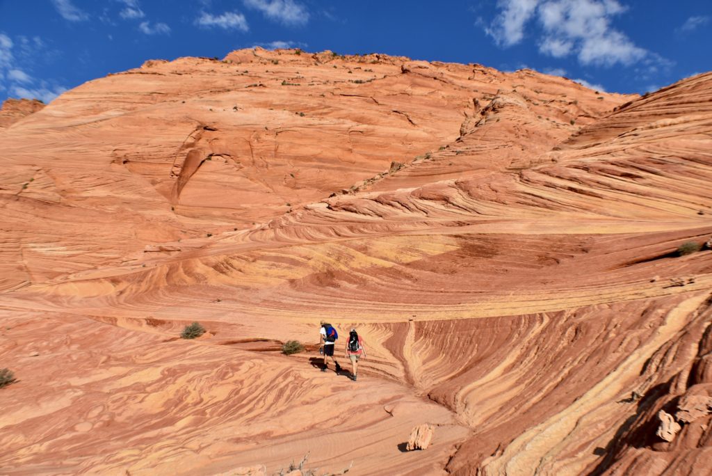
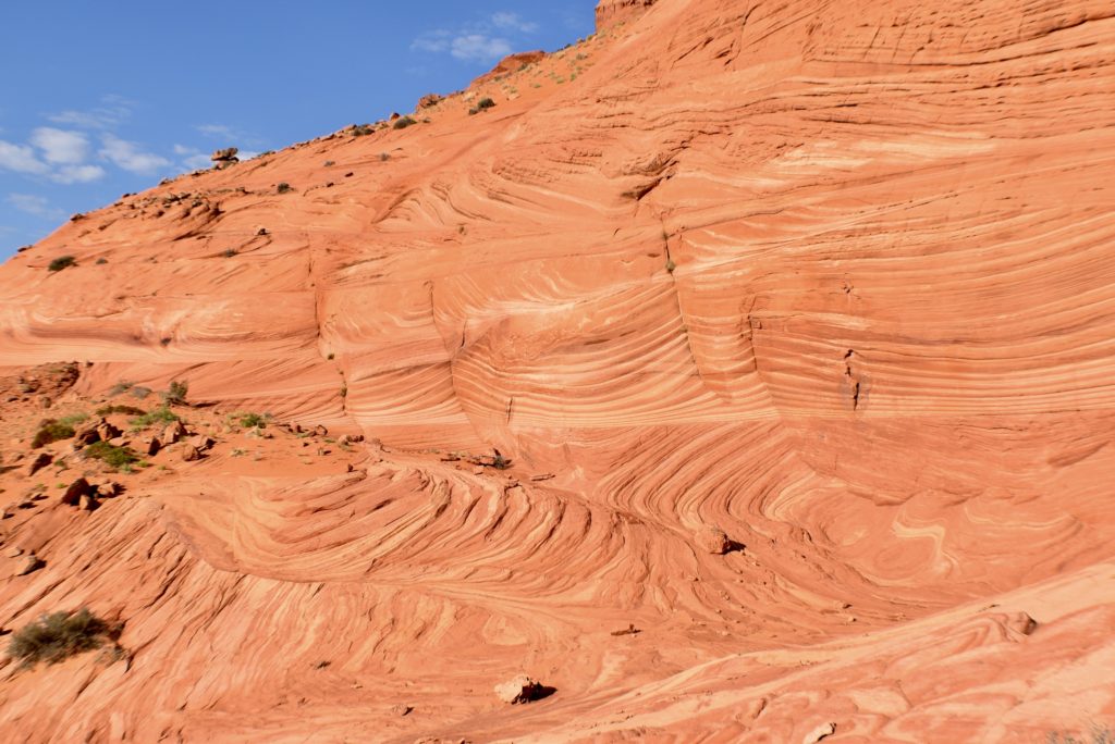
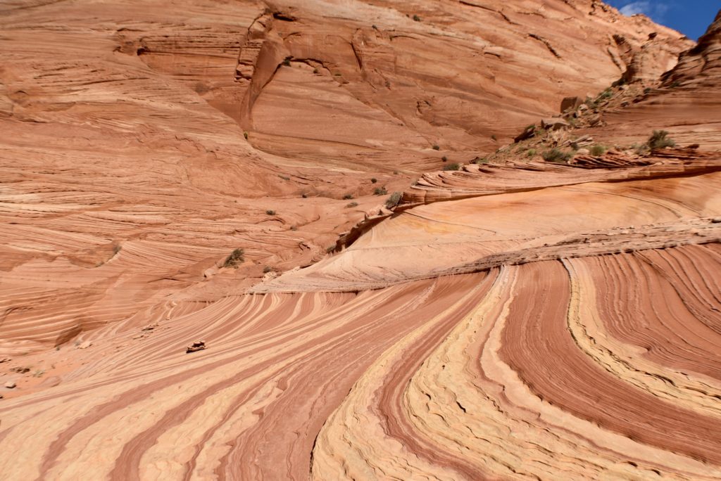
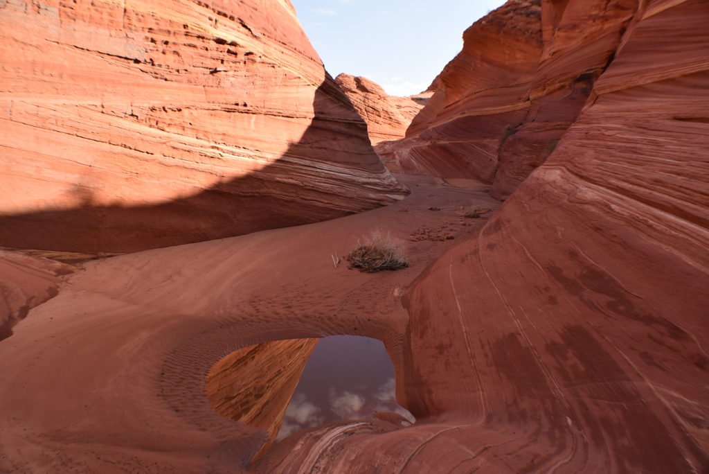
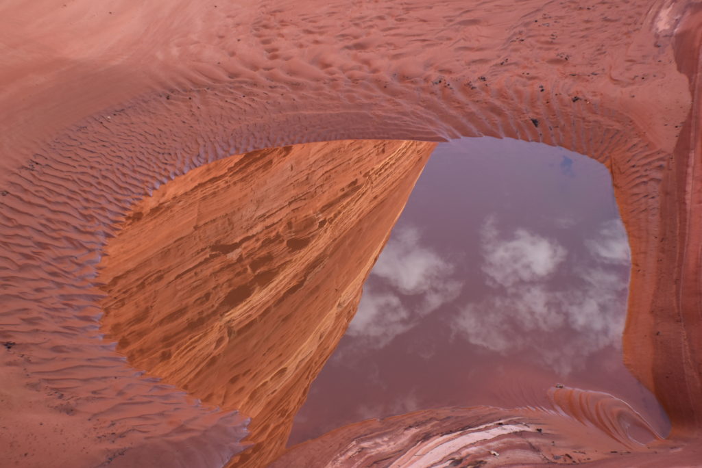
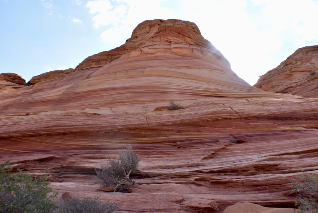
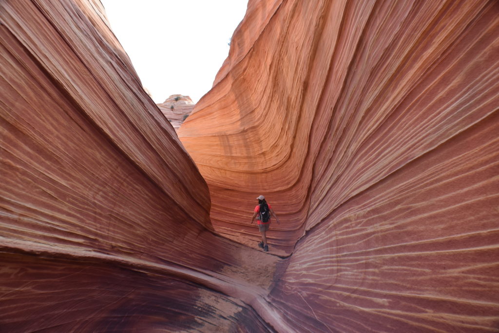
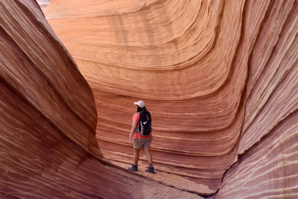
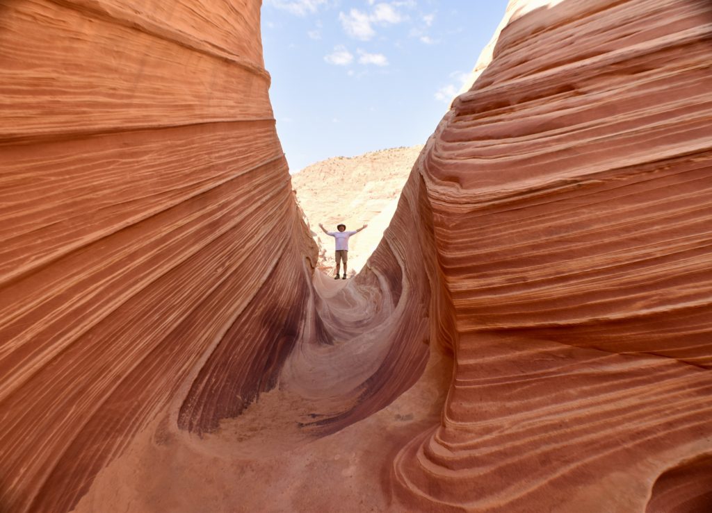
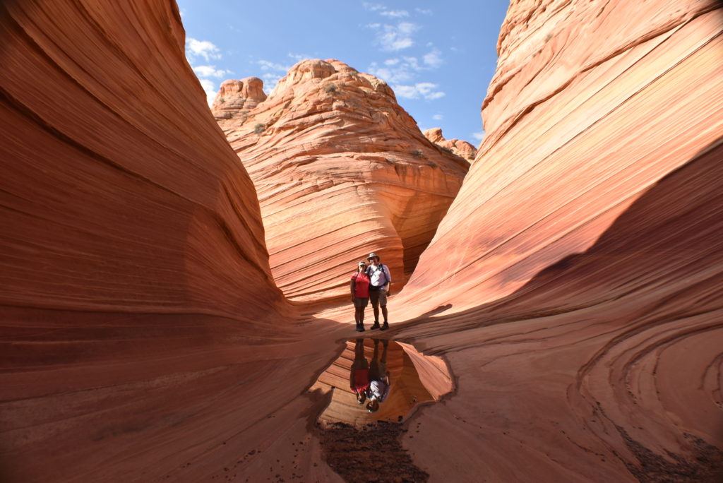
At The Wave
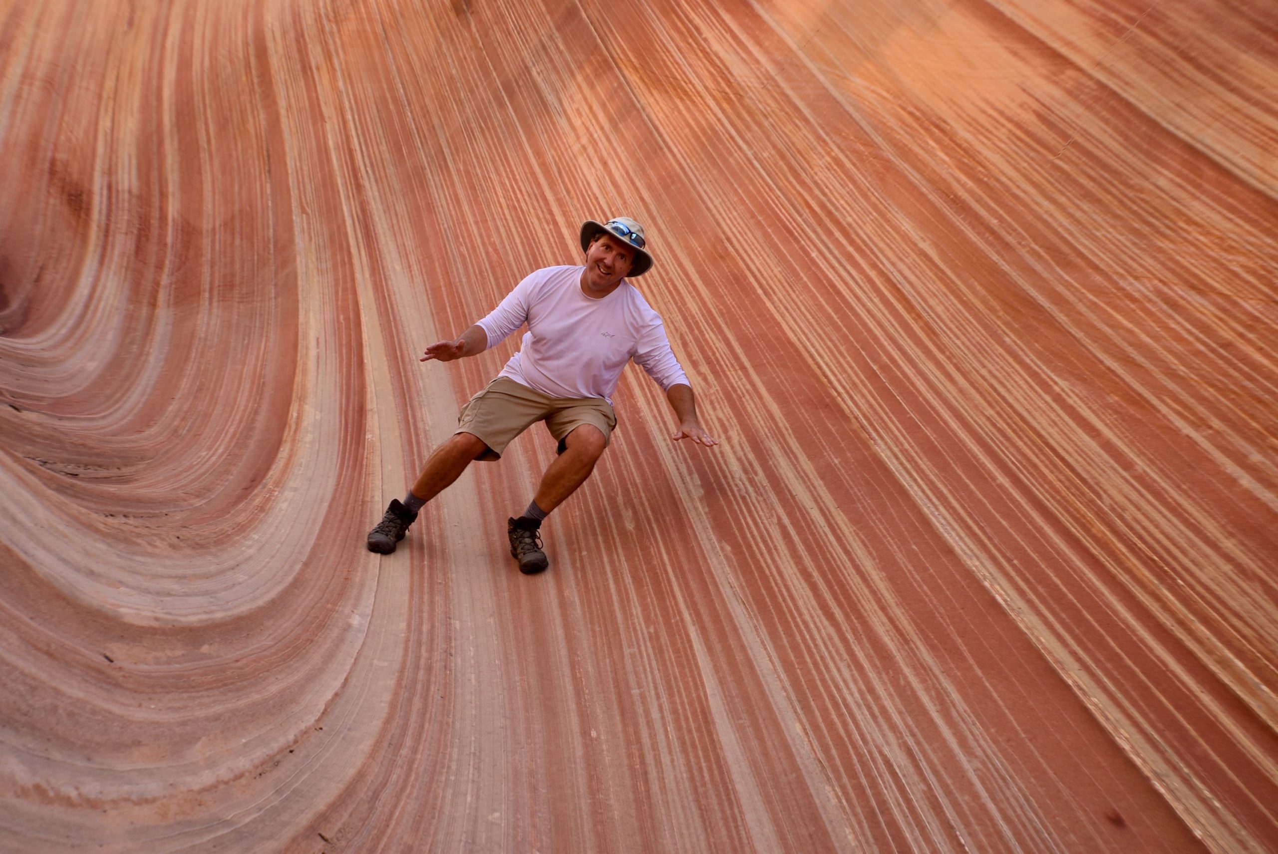
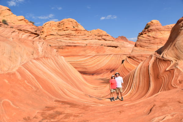
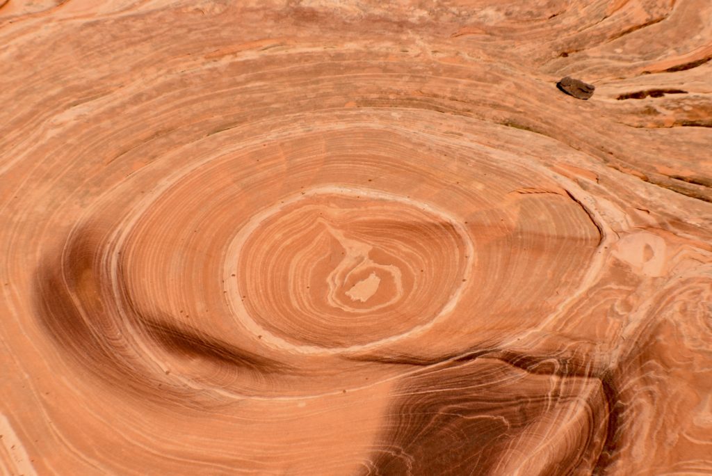
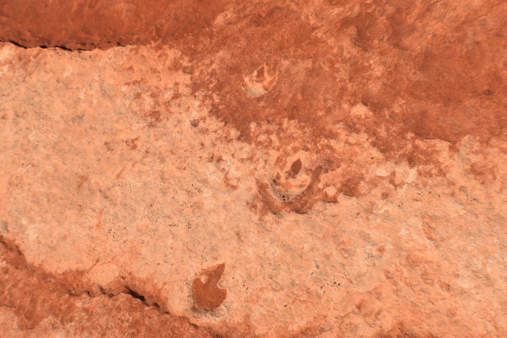
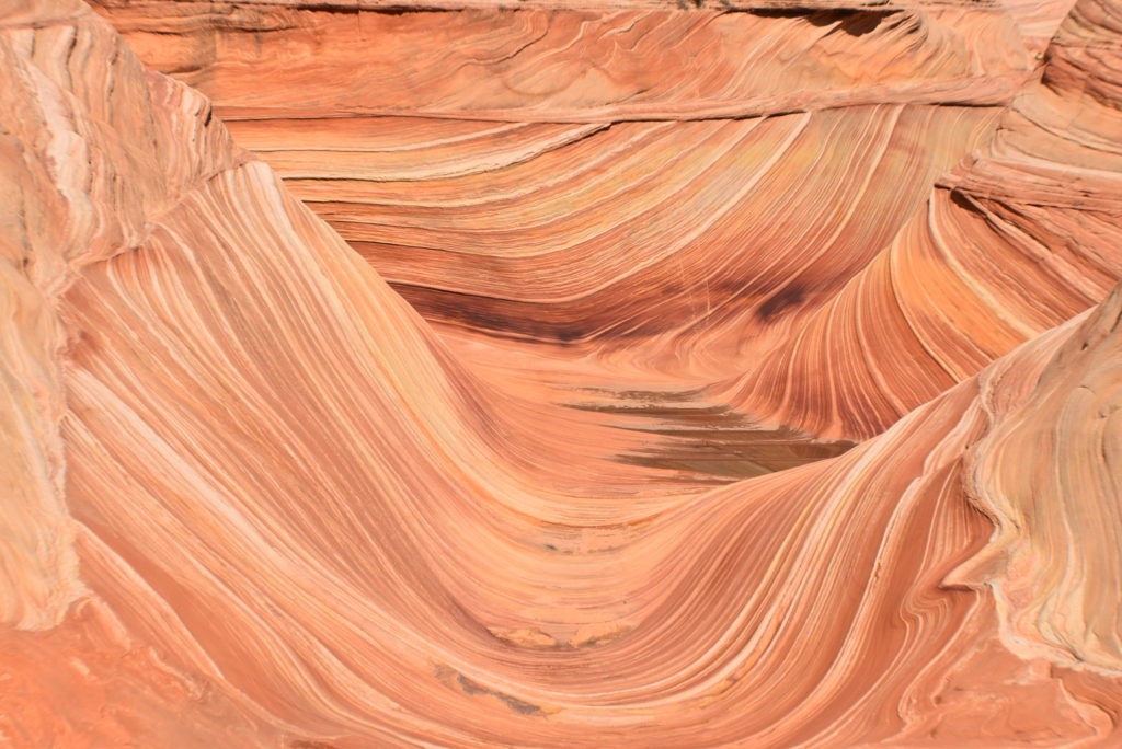
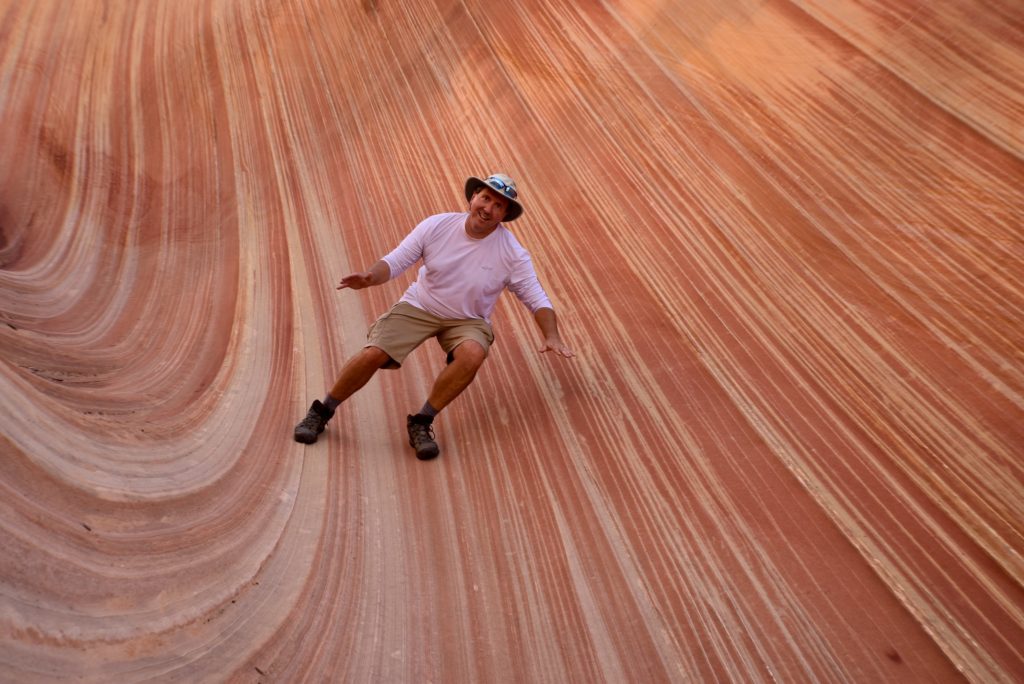
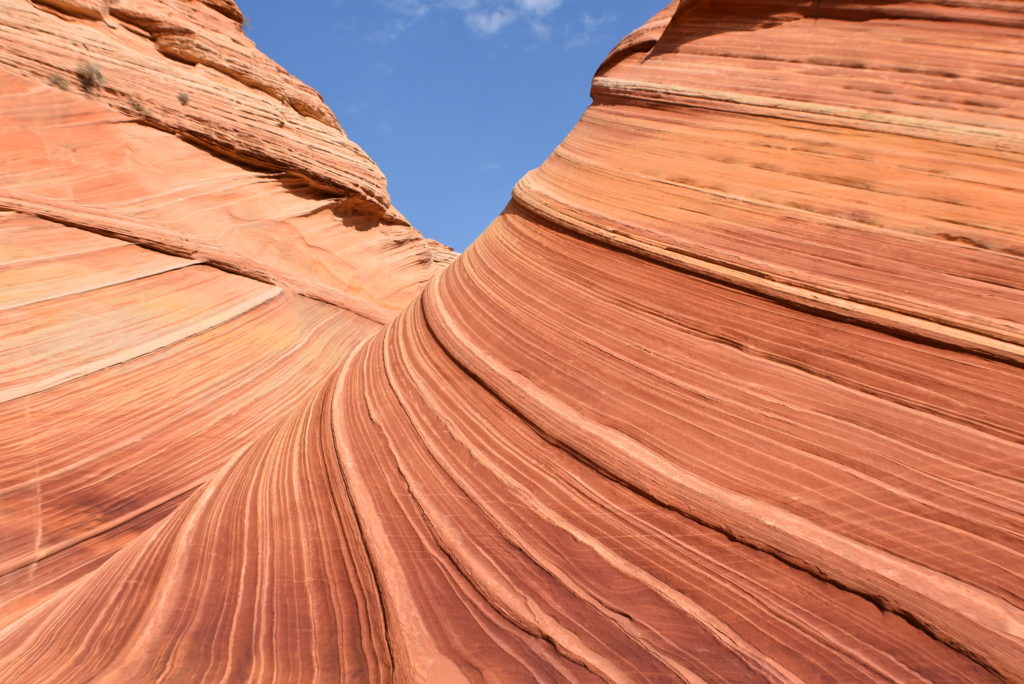
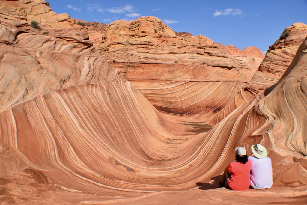
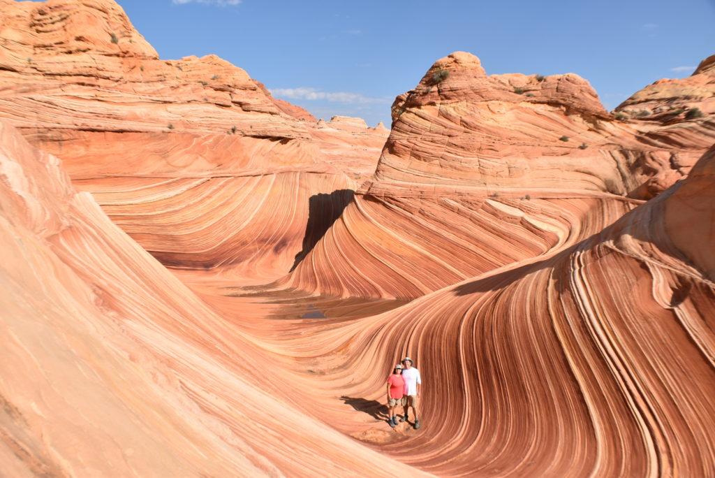
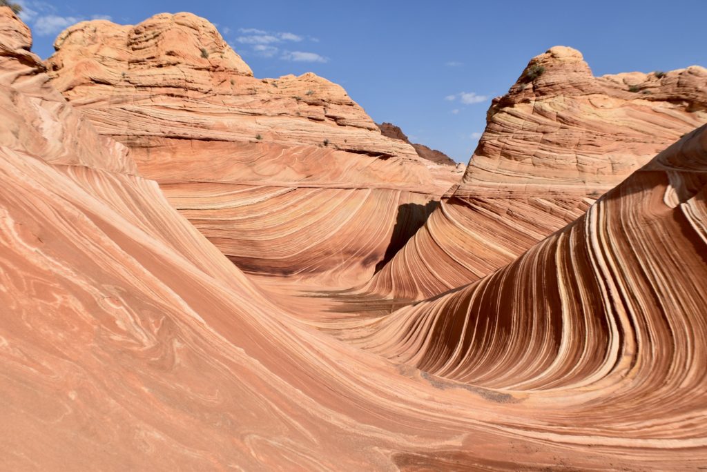
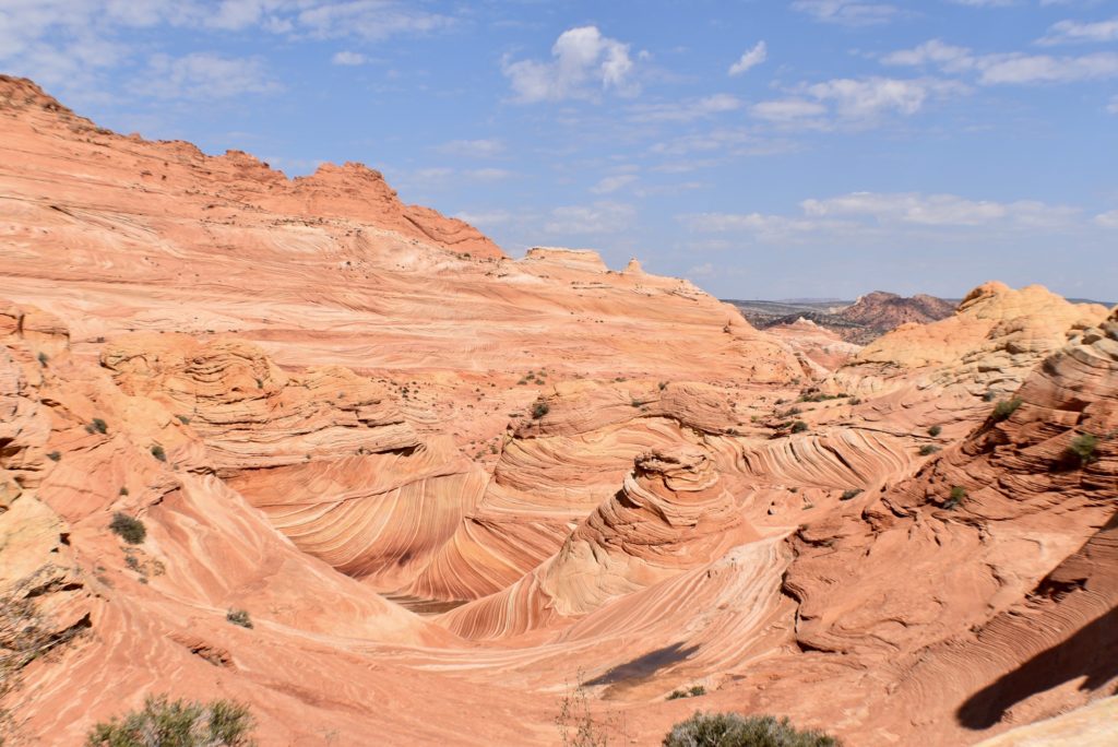
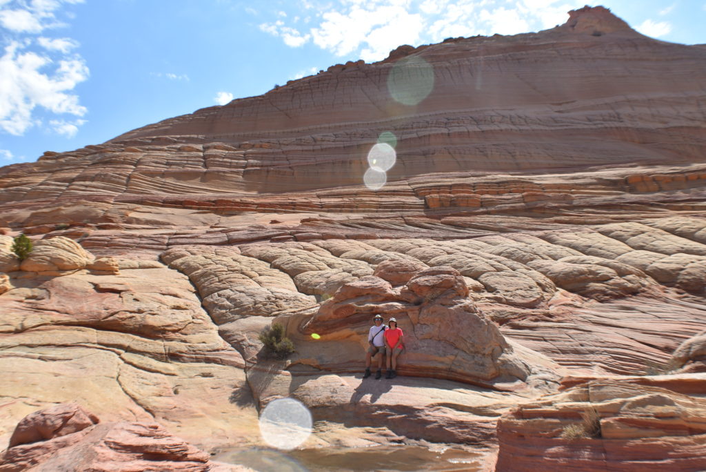
This is the Wave. It was formed by wind and water over millions of year. The geologic processes that formed The Wave are, ironically, the same that will destroy it. The best time to photograph the Wave are the hours around noon to limit the shadows from the sun.
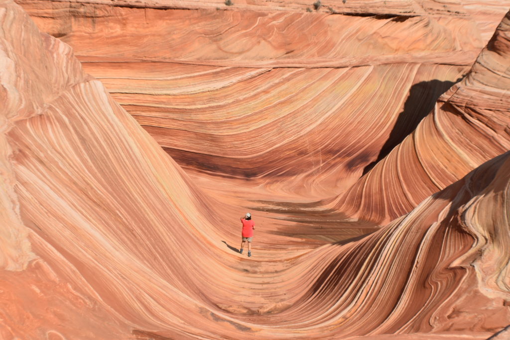
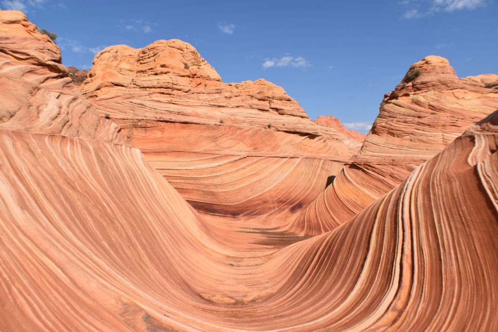
Leaving the Wave
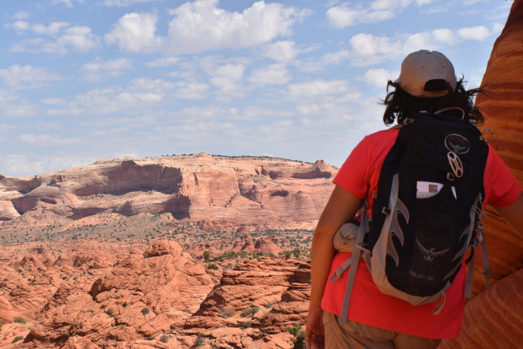
The hike back was hotter and seemed longer than the hike to the Wave. We didn’t want to go as this is one of the most amazing places we have ever seen.
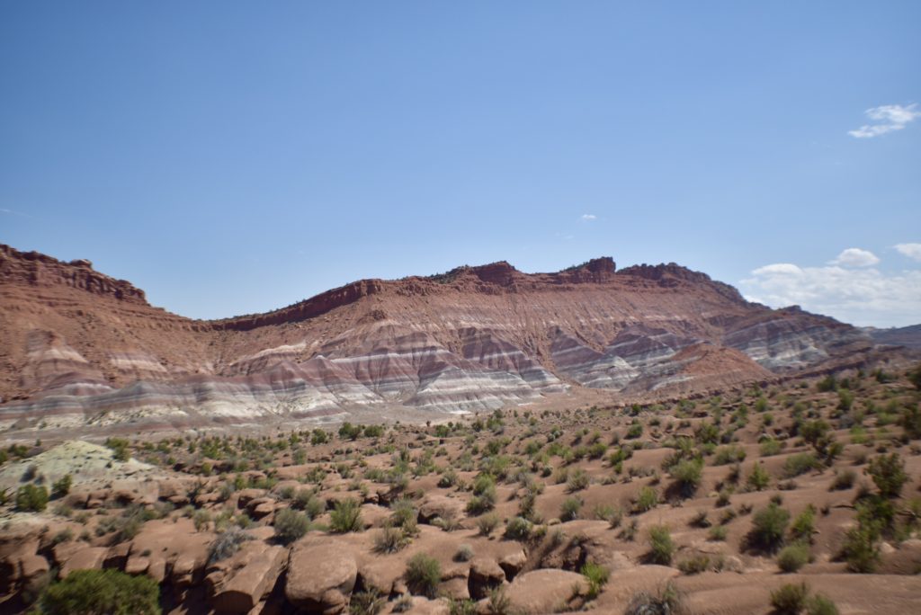
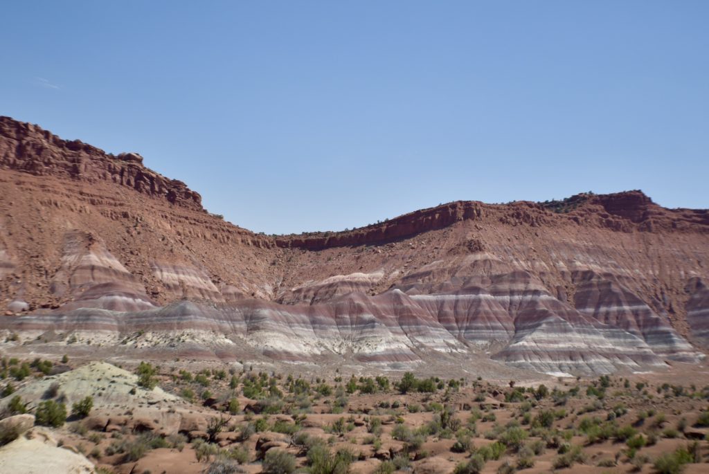
On our drive back we stopped at the Paria Townsite, a ghost town nestled along the Paria River in the Grand Staircase – Escalante National Monument in Utah. Paria was inhabited from 1870 until 1929 and was later used as a filming location for many western movies. You can see the unusual blue, maroon, and purple colors in the rock.
The Wave was one of the most beautiful and amazing places we have ever been too. I hope we can go back to enjoy this wonderful place again.
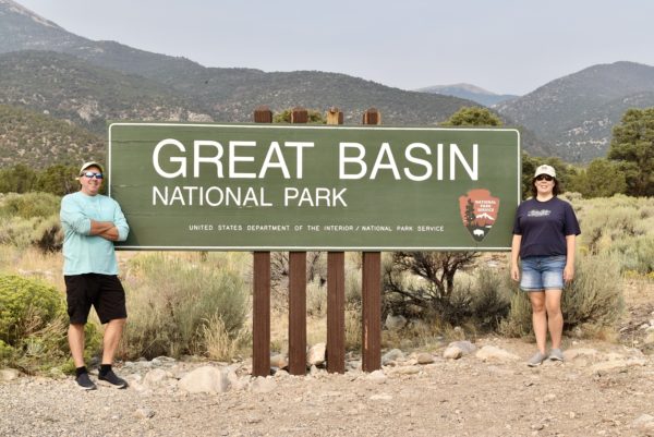
Great Basin National Park
Bristlecone Pines
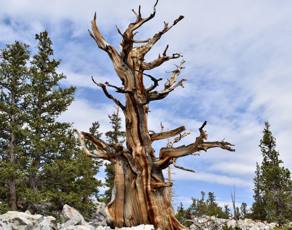
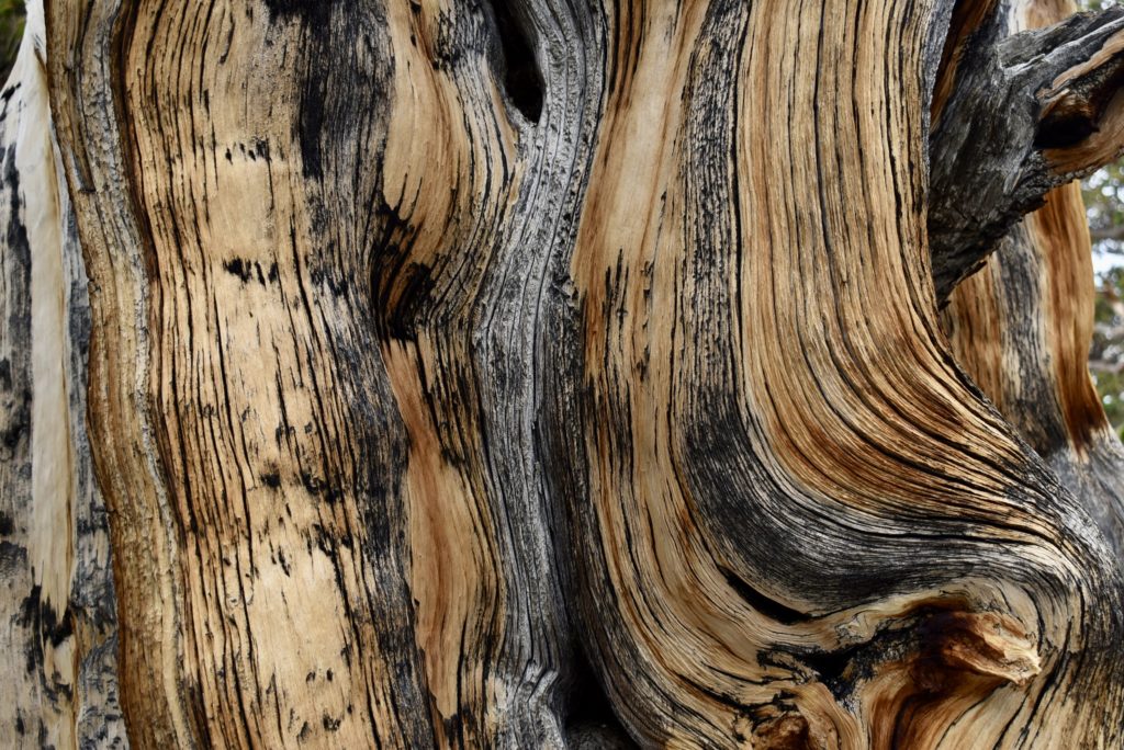
Great Basin Bristlecone pines are remarkable for being the oldest non-clonal species on the planet. This strange tree, shaped by the wind, snow, and rain has survived over thousands of years. The conditions in which they live are harsh (with temperatures that drop well below freezing), a short growing season, and high winds that twist the trees into almost human-like forms along their limestone ridges. Because of these conditions they grow very slowly, and in some years do not even add a ring of growth.
This slow growth makes the wood very dense which provides resistance from insects, fungi, rot, and erosion. And at high elevation, they grow where most other vegetation cannot, limiting the impact that a forest fire might havoc on their near-eternity.
Lehman Caves
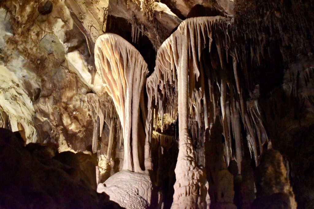
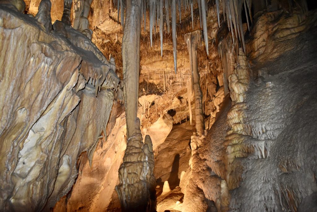
We enjoyed a fun cave tour. Scott was able to get some neat photos of the caves’ features.
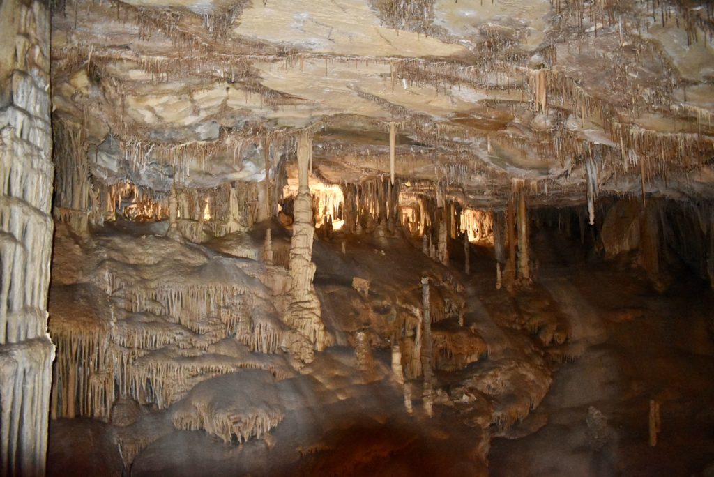
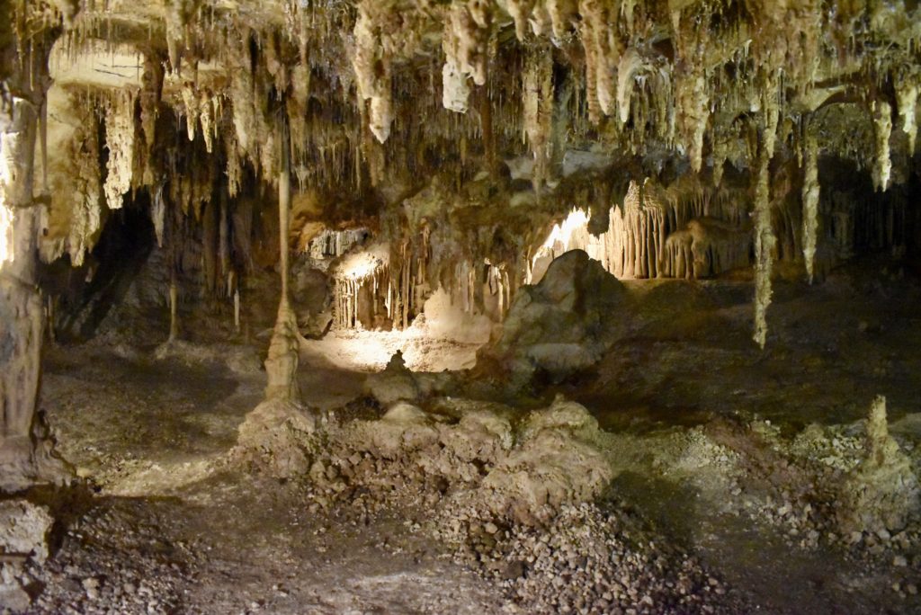
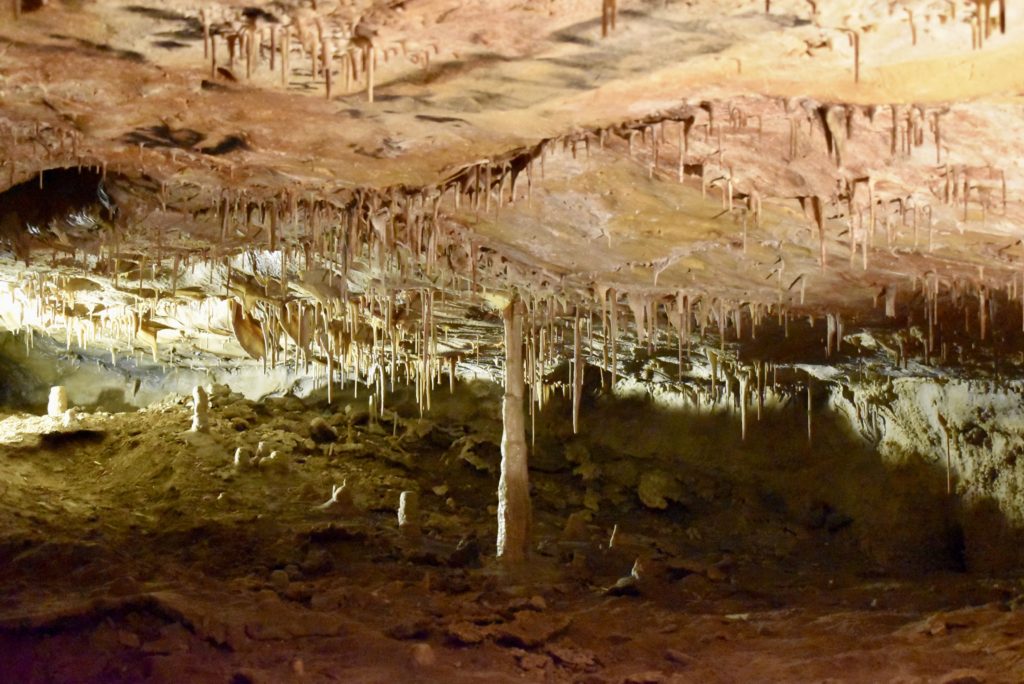
Next blog post – THE WAVE!!!
Butte-T-call
Just arrived outside of San Antonio, TX where we plan to stay for the next four months. But there are still plenty of blog posts from our travels this summer. Below is our post from Butte, Montana where we stayed for a week at the end of August.
For a town of 35,000 people, there is unexpectedly lots to see in Butte, Montana
Isn’t this lake lovely? Clear water with colorful cliffs behind it, make it a picturesque scene where you might want to swim or fish.
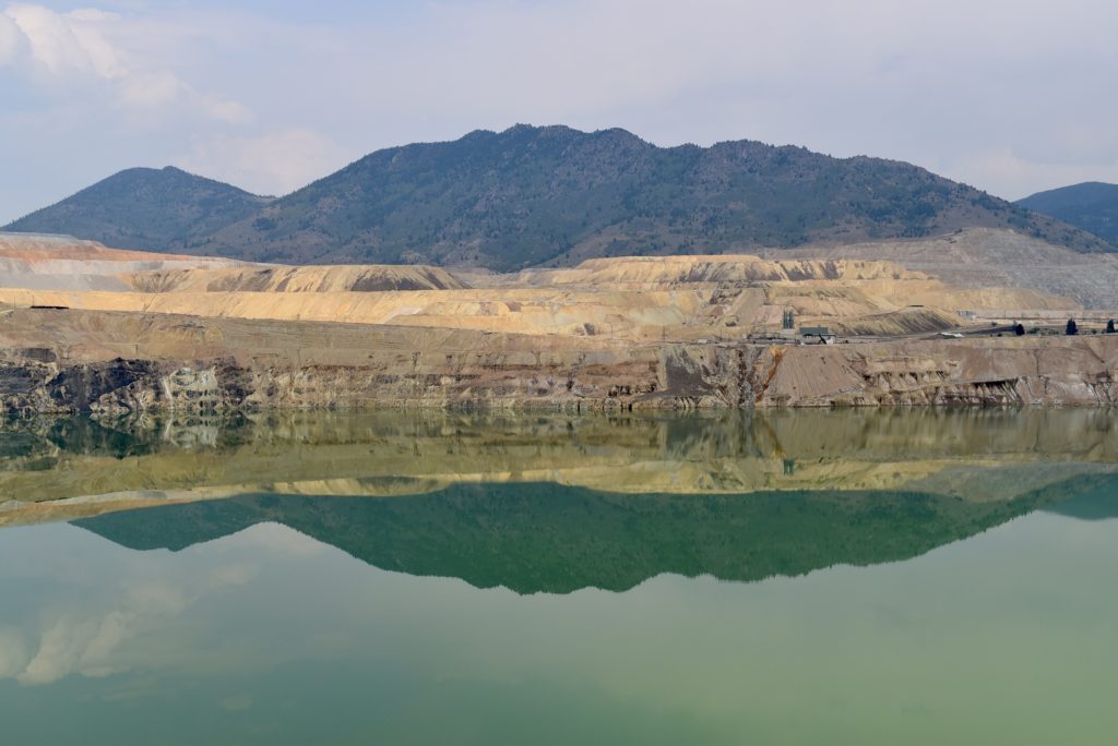
Not so fast. This is The Berkeley Pit a former open pit copper mine with water that is heavily acidic, about the acidity of Coca-Cola, lemon juice,or gastric acid. As a result, the pit is laden with heavy metals and dangerous chemicals that leach from the rock, including copper, arsenic, cadmium, zinc, and sulfuric acid.
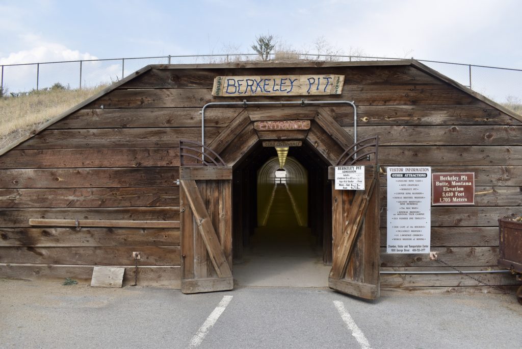
It is no surprise to me that the locals we talked to, drink bottled water and are dubious of government claims that local water is safe to drink.
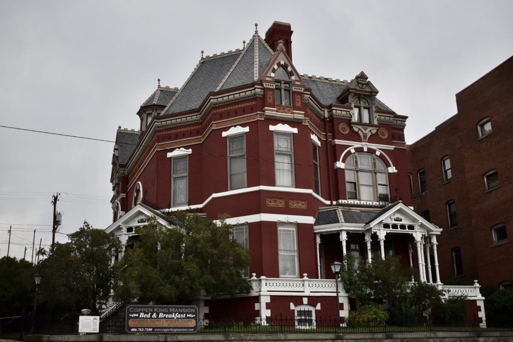
But the news isn’t bad for everyone. William Clark, one of the Copper Kings, built this stunning 34 room mansion in 1888 which is privately owned today and serves as a B&B.
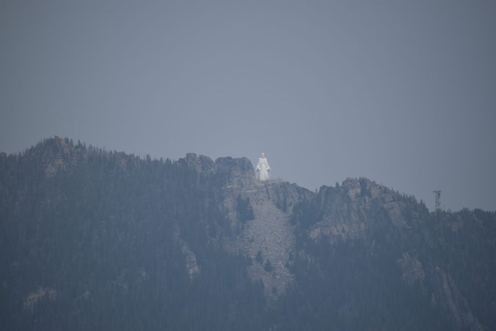
Overlooking the city is, Our Lady of the Rockies, a 90-foot statue built in the likeness of the Virgin Mary. It is the fourth-tallest statue in the United States. The statue was originally conceived by Butte resident Bob O’Bill in 1979 following the recovery of his wife from cancer.
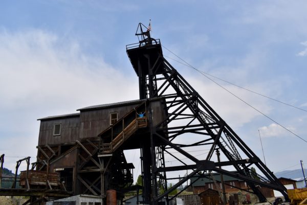
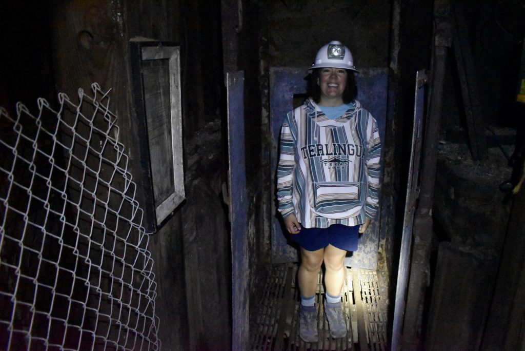
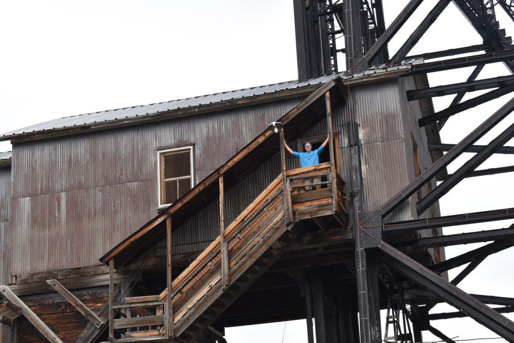
At the World Museum of Mining, we went on the underground mine tour. The tour descends 100 feet into the Orphan Girl Mine to see the original shaft station.
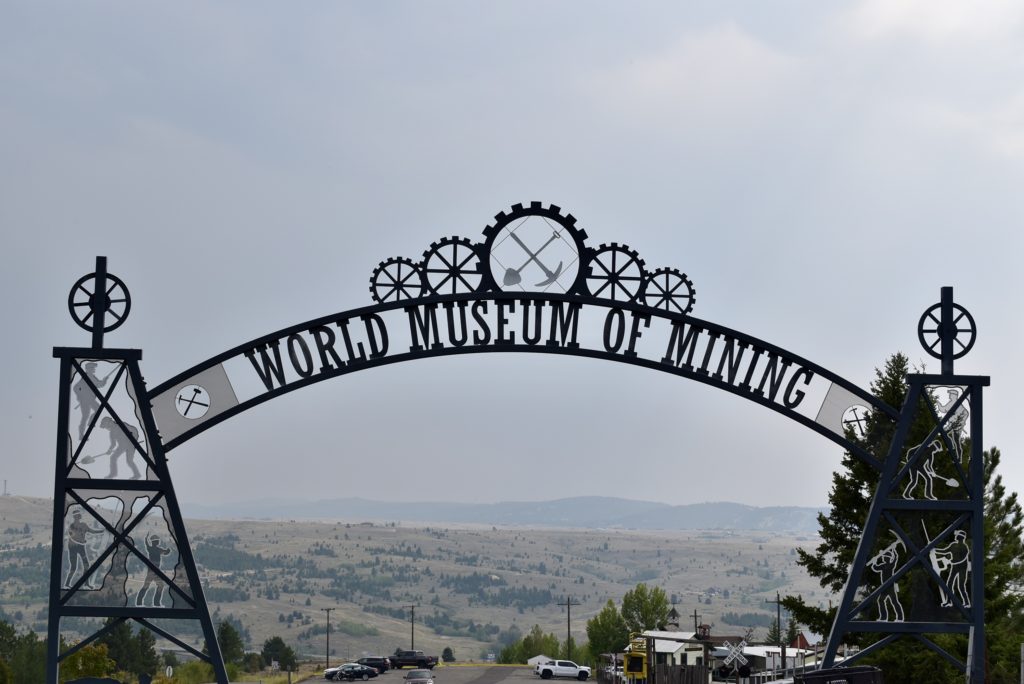
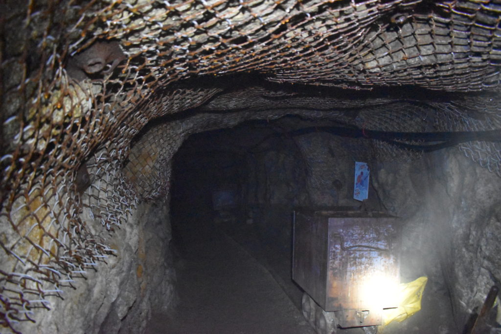
Fitted with hard hat and lamp, we saw the exposed veins of the mine as well as various pieces of equipment that were used in underground mining.
Glacier National Park
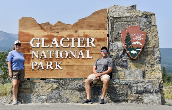
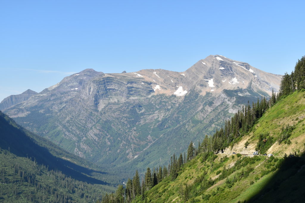
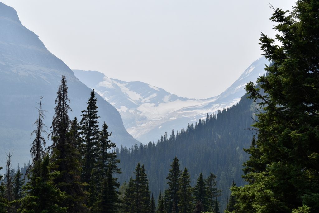
We spent most of August exploring Glacier National Park in Montana, two weeks on the east side and two weeks on the west side. The wildfires that burned this summer really impacted our trip. The air quality some days was terrible and visibility was limited during most of our stay.
Going-to the-Sun Road Scenic Drive
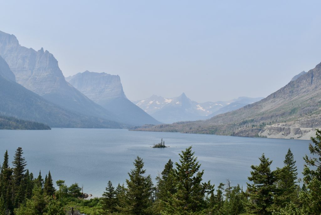
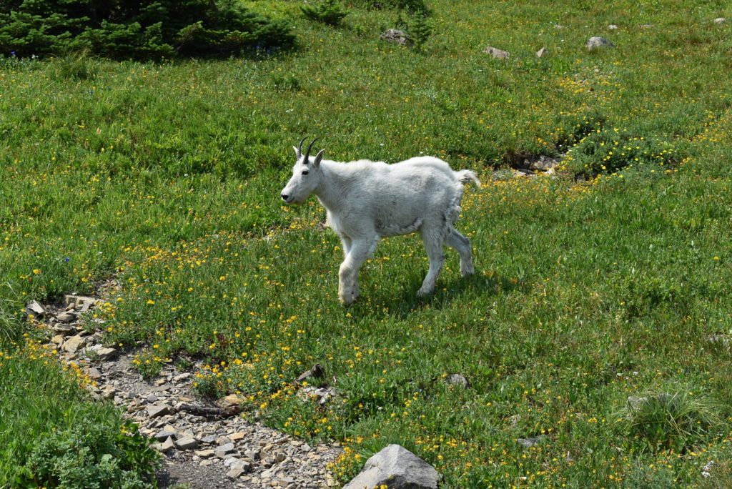
Going-to-the-Sun Road is the main thoroughfare in the park. It’s a long winding road with stunning sites.
Hikes
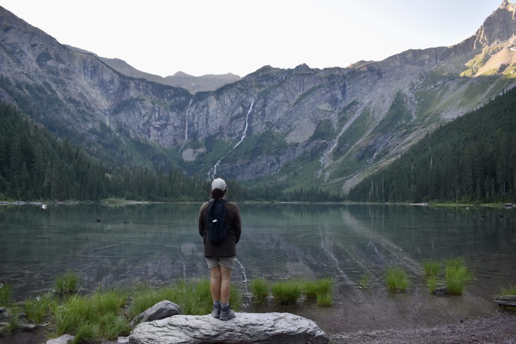
Glacier is a hiker’s paradise. We did as many as we could that didn’t require camping overnight.
Trail of the Cedars
Highline Loop Trail
The Highline Loop starts at Logan Pass. This hike is normally a 13 mile one-way hike. As the hiker’s shuttle wasn’t running, we went to Haystack Pass out and back.
Less than a mile into the hike is the famous ledge with the reputation for terrifying those with a fear of heights. In most places the ledge, hanging like a shelf along the Garden Wall, is only six to eight feet in width, and has drop-offs of roughly one hundred feet or more down to the Going-to-the-Sun Road below.
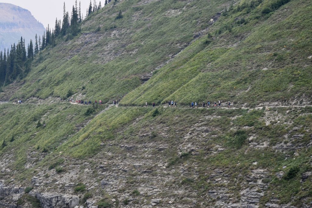
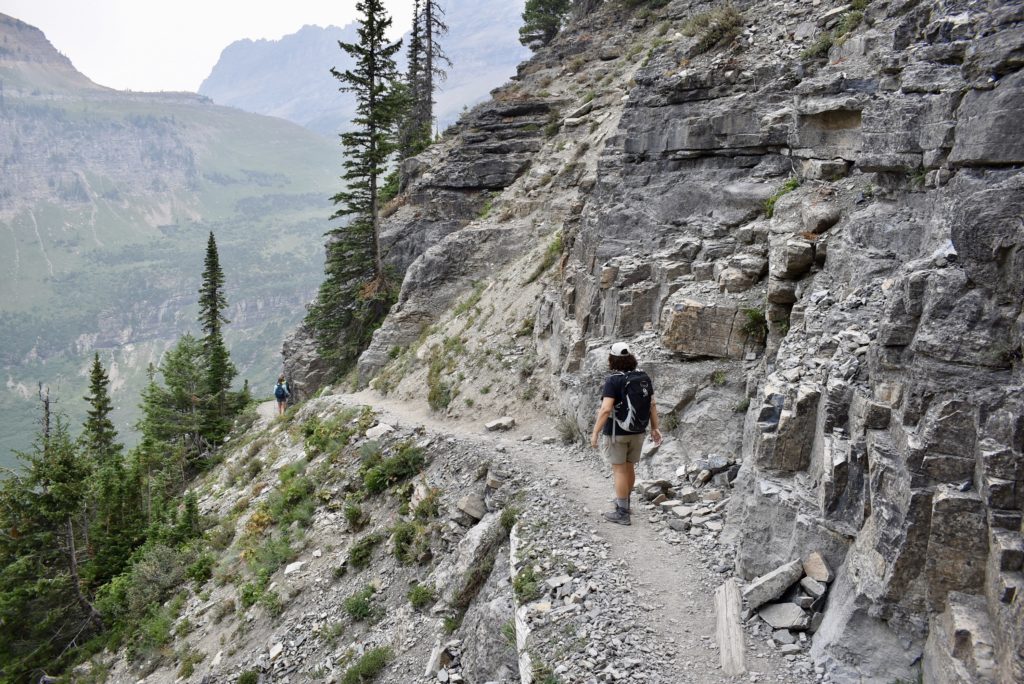
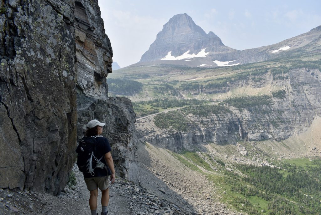
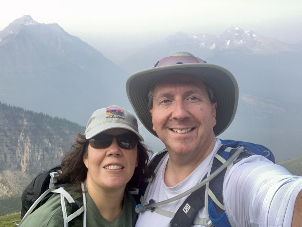
At an elevation of 7024 feet, Haystack Pass forms the saddle between Haystack Butte and the Garden Wall. Gorgeous panoramic vistas are normally visible on clear days. Sadly, smoke from the fires obscured our view.
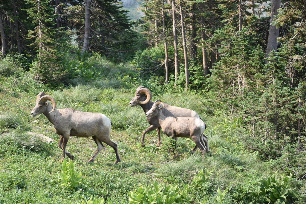
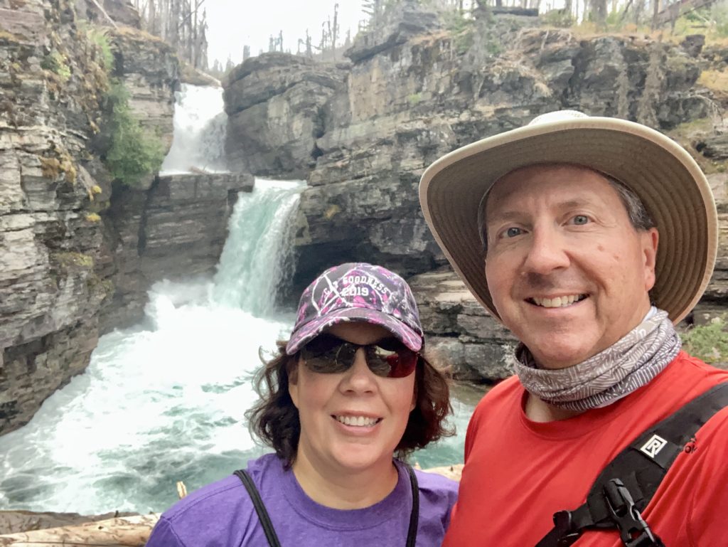
St. Mary Falls Hike
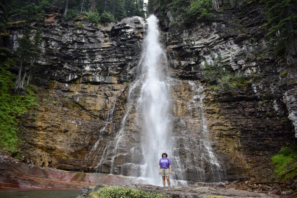
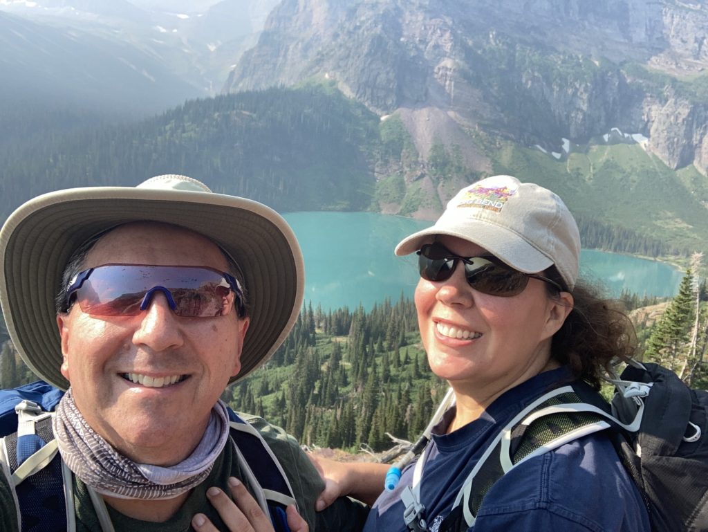
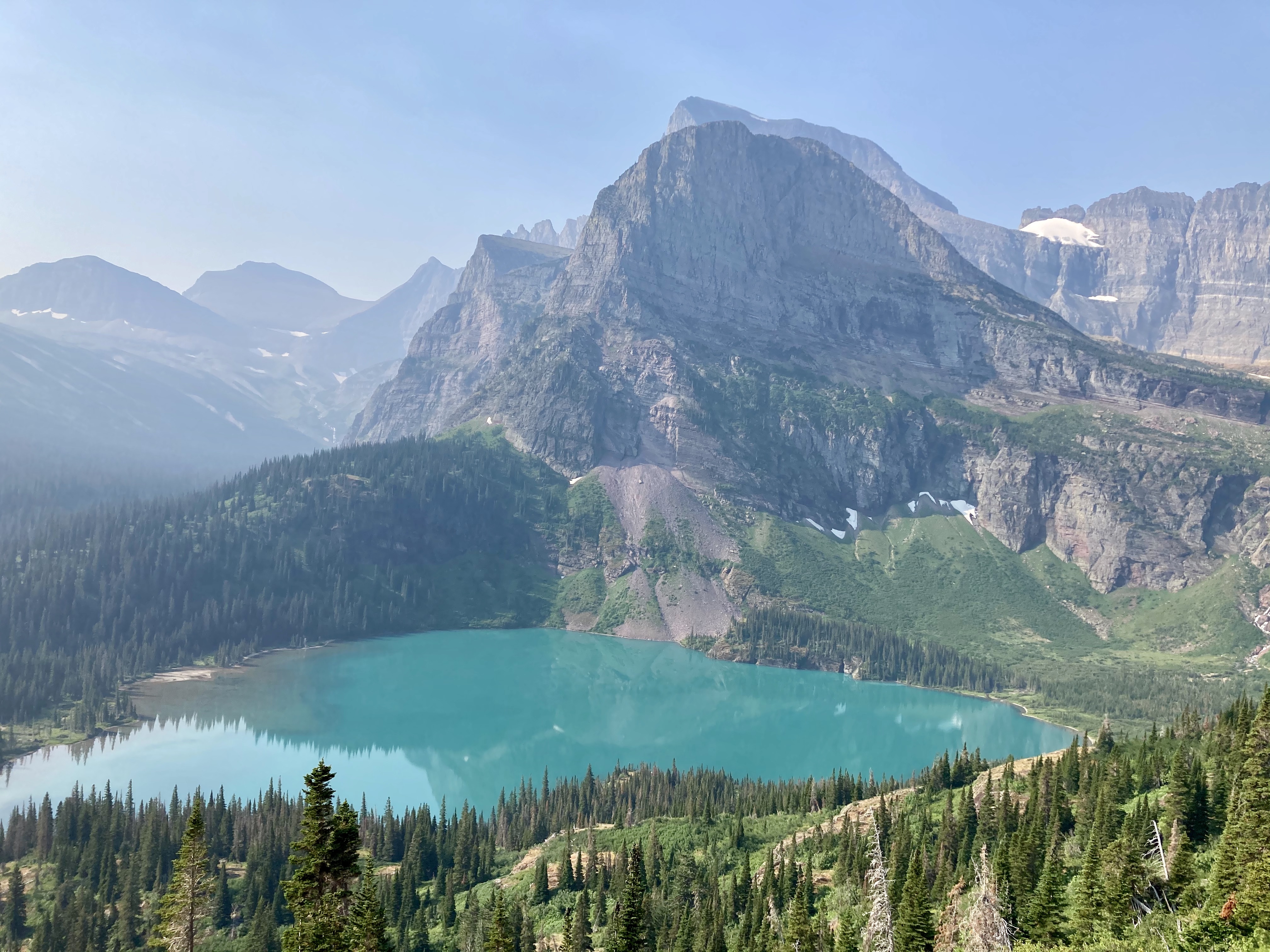
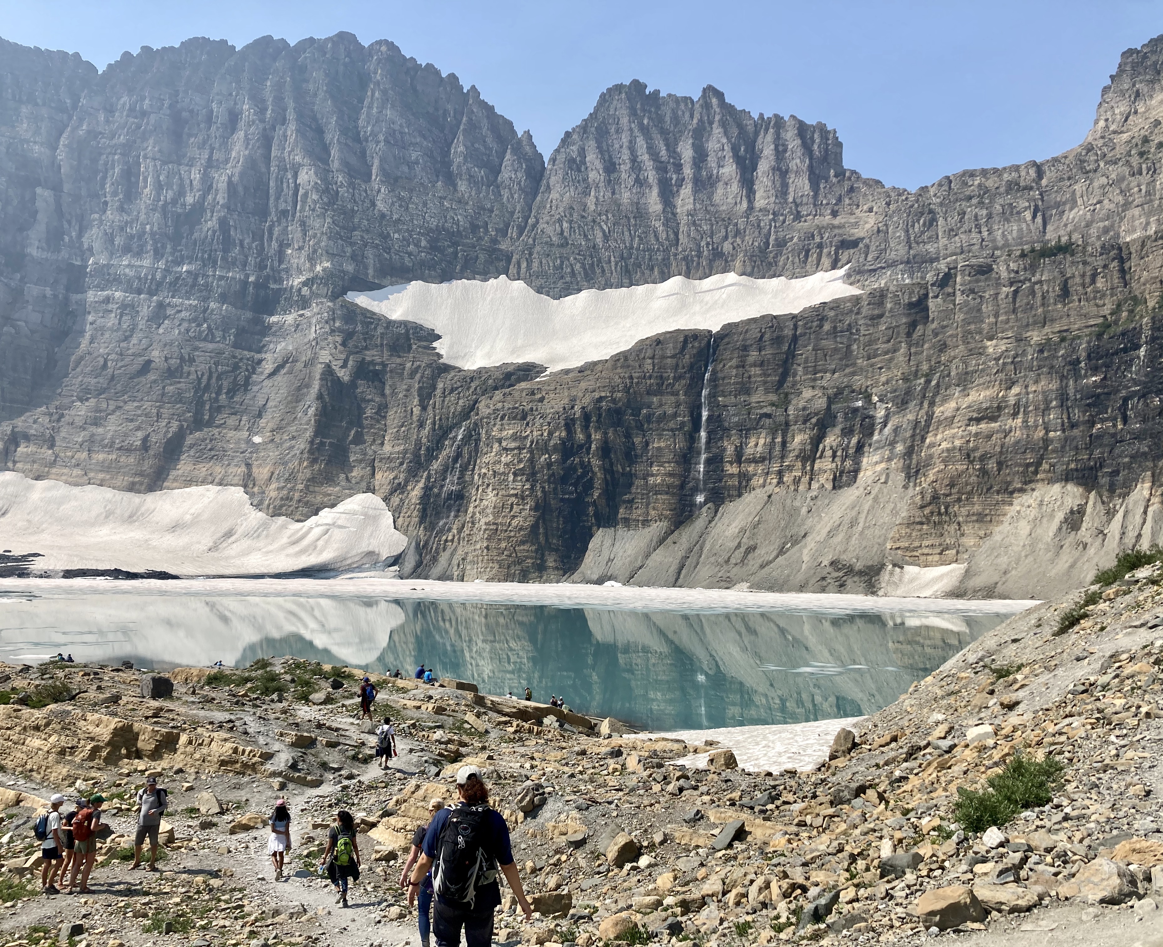
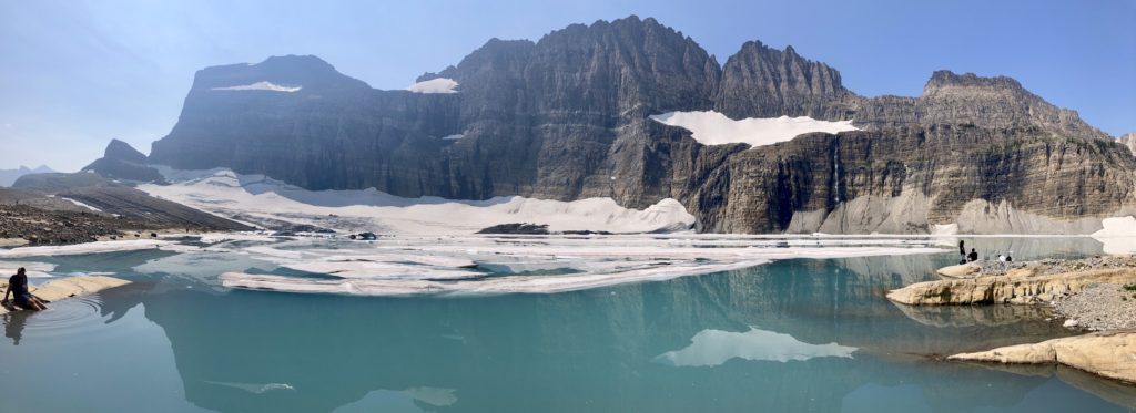
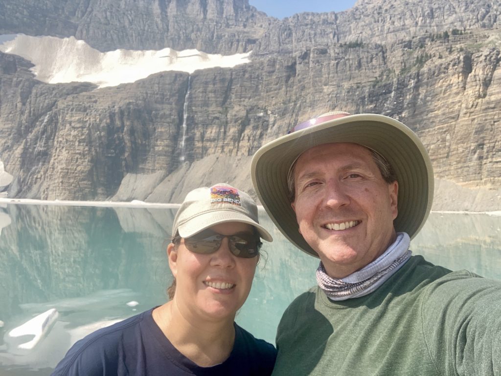
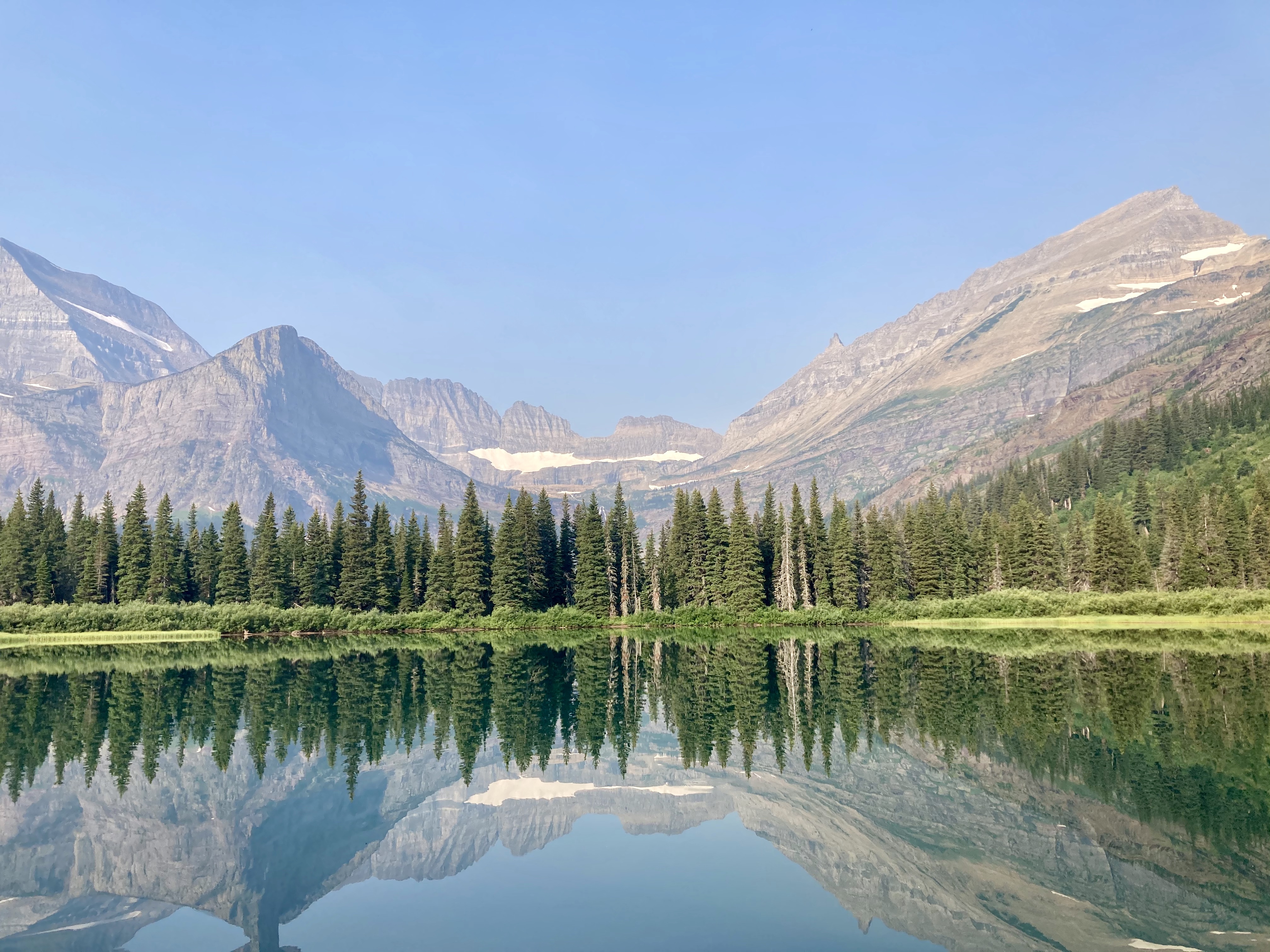
Grinnell Glacier
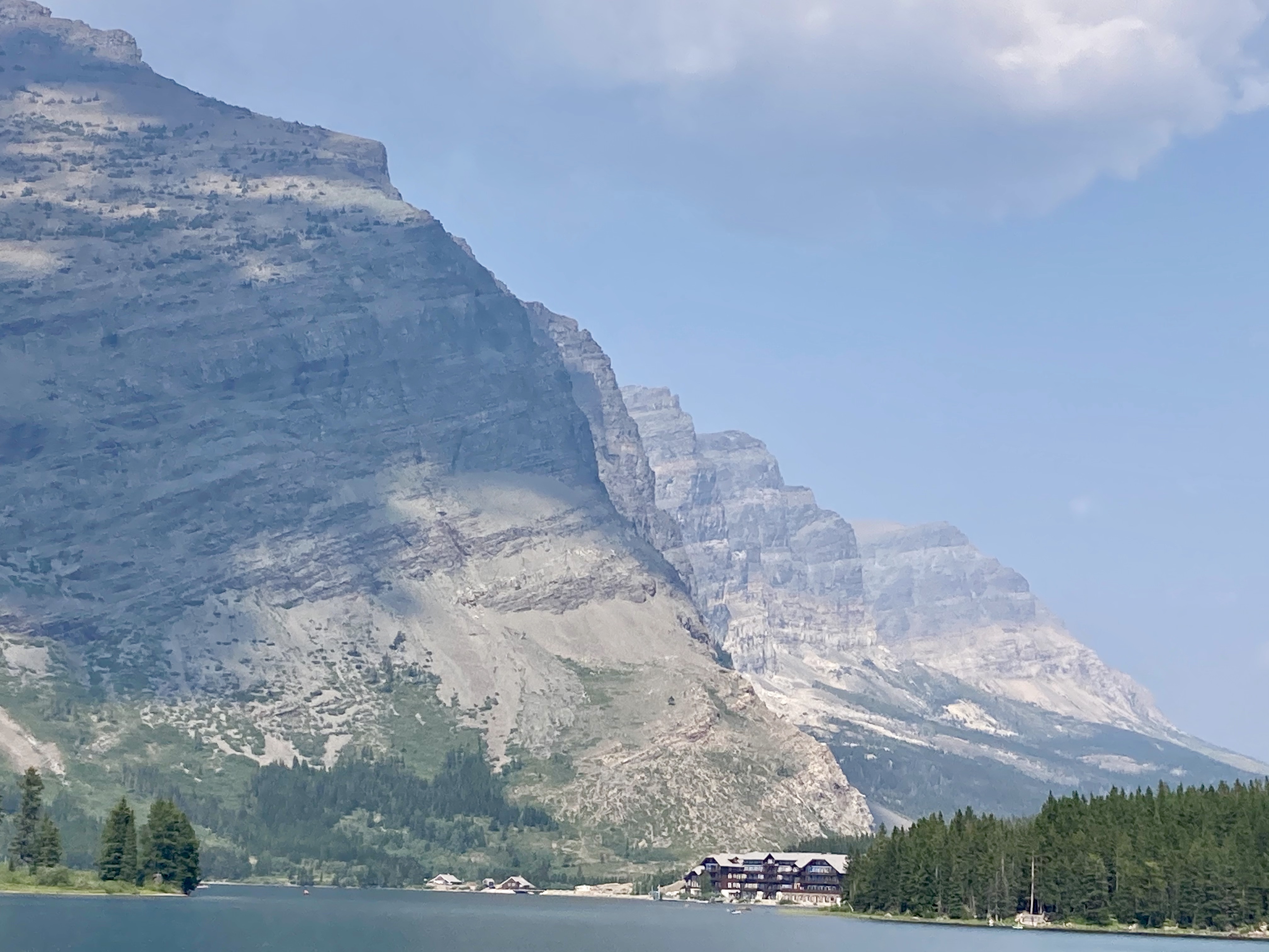
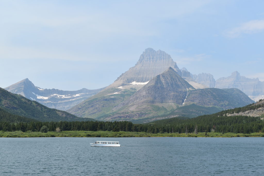
We took two short boat rides from the Many Glacier Hotel which shaved about 3.5 miles off this 11 mile difficult hike.