Sightseeing in Cincinnati
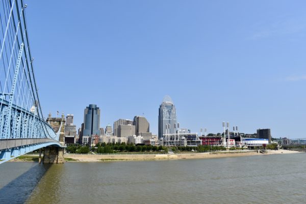
While we were near Cincinnati, or Cincy as the locals refer to it, we went for a short walk downtown on Labor Day. If you’re interested we use an app called GPSmyCity for walking tours such as these.
Many of the museums are closed due to Covid-19 so this was a tour of outdoor sites.
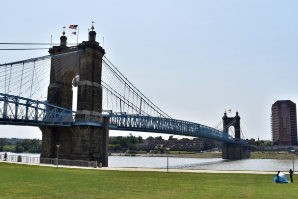
The John A. Roebling Suspension Bridge spans the Ohio River between Cincy, OH and Covington, KY. We walked across and back again on the pedestrian walkway.
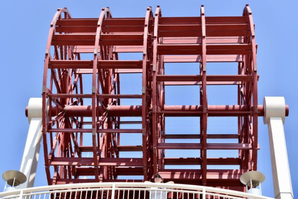
The National Steamboat Monument is a 30-foot replica of the paddle wheel of the steamboat American Queen.
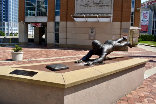
The home of the Cincinnati Reds, Great American Ballpark, has some neat statues out front. Below is a bronze statue of a Pete Rose headfirst slide.
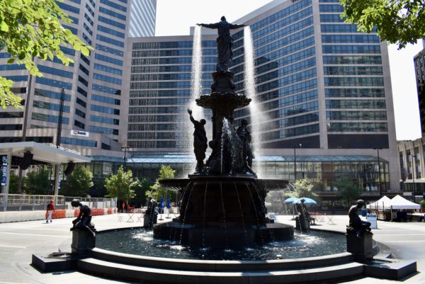
Lastly, Fountain Square. Fountain Square has been the symbolic center of Cincy since 1871. Today the square has many events during the week as well as seasonal events, like the largest Octoberfest outside of Germany.
Next we travel in Indiana the land of the Hoosiers.
Cuyahoga Valley National Park
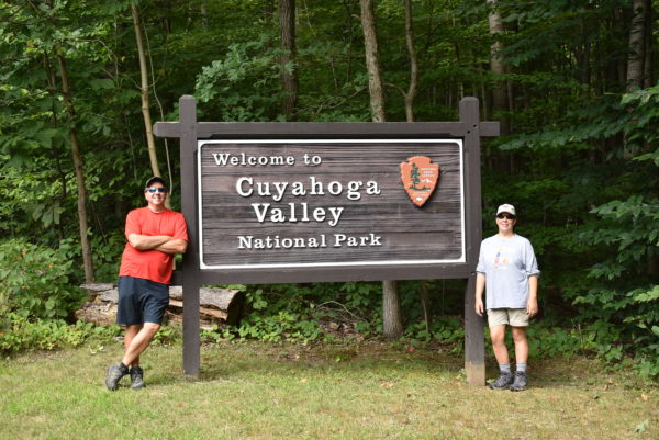
Cuyahoga Valley National Park is the only national park in the state of Ohio and aims to reclaim the rural landscape along the Cuyahoga River between Akron and Cleveland in Northeast Ohio.
I can’t say that this was the most interesting National Park we have visited but it had its own beauty and several hikes that we enjoyed.
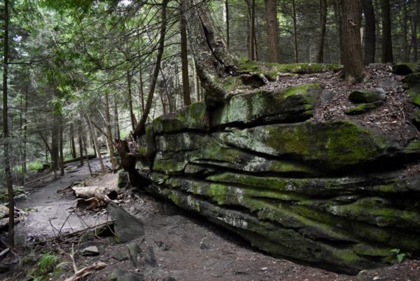
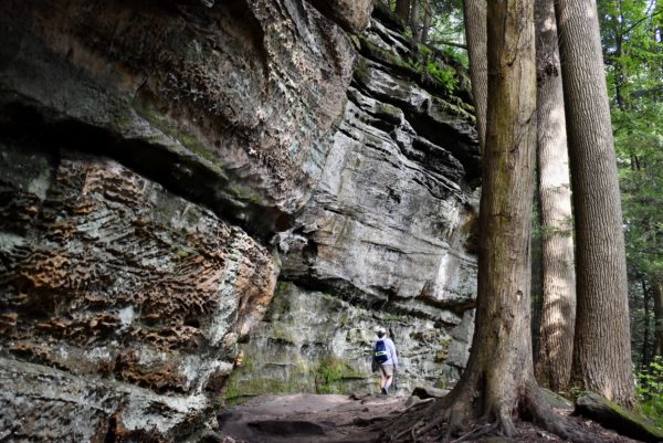
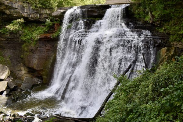
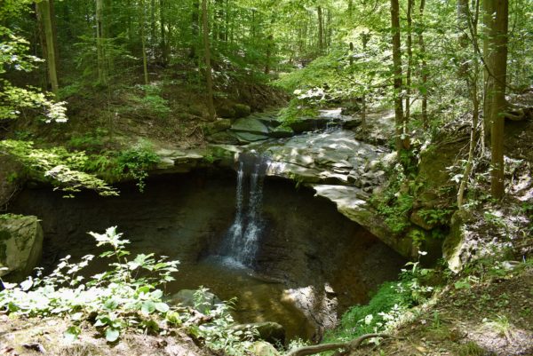
On a positive note we get to check off another National Park as visited. We also get to mark Ohio as another state visited on our journey. Yeah us!!!!
Mainely Acadia
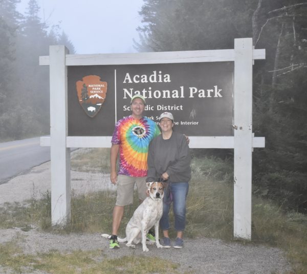
The majority of the Acadia National Park is located on Mount Desert Island (MDI) and the remainder is on the Schoodic Peninsula. MDI is where most people go and is known as the popular side.
Across Frenchman Bay, just south of Winter Harbor, is the Schoodic Peninsula and it contains 5% of Acadia National Park. It is the quiet part of the Park.
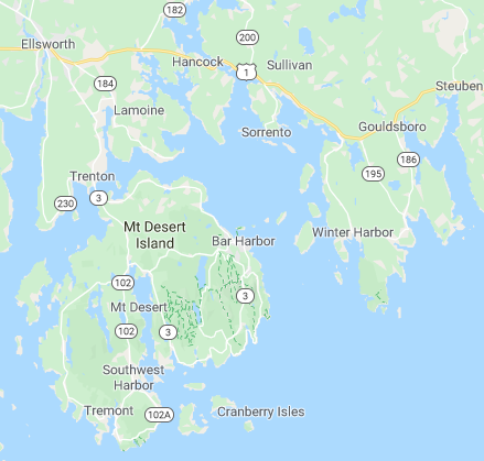
Quiet Schoodic Peninsula Side
We loved the quieter side of Acadia. On this side of the park you almost forget about the other tourists and feel like you have an ocean view all to yourself.
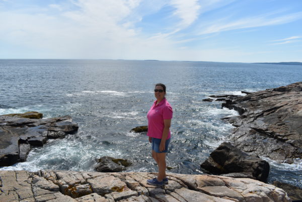
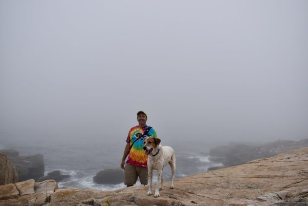
We went back time and again to enjoy the views. We went at sunset in hopes of a great picture instead we got fog, but Buddy enjoyed jumping over the rocks and observing the seagulls.
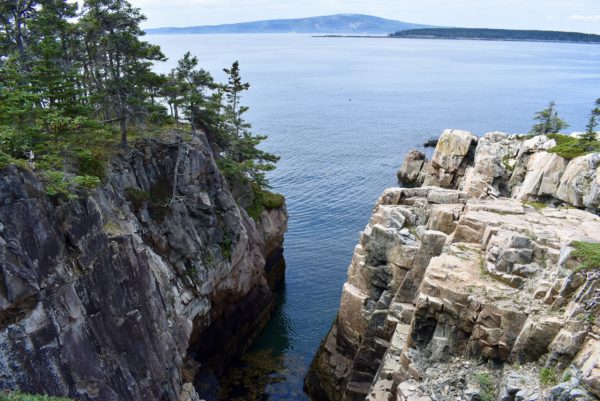
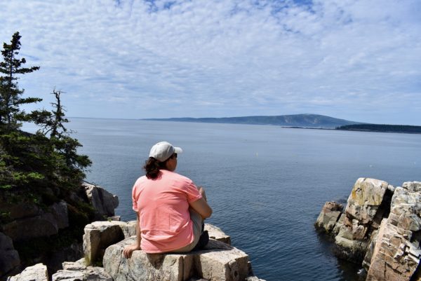
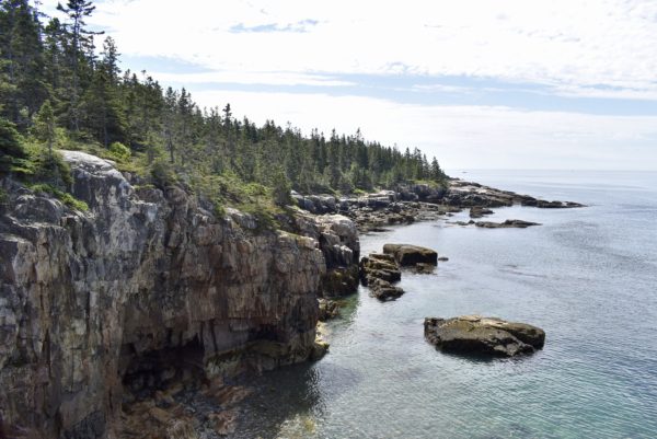
There is an unmarked hike called Raven’s Nest that highlights the craggy New England coastline. It is difficult to tell from the pictures but some of the outcroppings here are very narrow and the water below is about 50 feet down. There are no guardrails or ropes to prevent a fall. We think this is why this is no longer a trail that the park recommends on its website.
Popular Mount Dessert Island Side
The MDI side is where the city of Bar Harbor is located as well as all the tourist sites in the park. The first day we took a scenic drive along the park loop road to get the lay of the land. The next day we did the famous Bee Hive hike as part of the longer Gorham Trail.
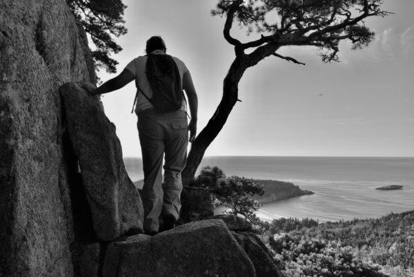
This trail has ladders and rungs to climb and some very narrow ledges to traverse. Can you see below my left hand holding the rung for stability?
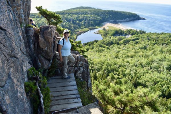
Very small ledge with a steep edge on the other side.
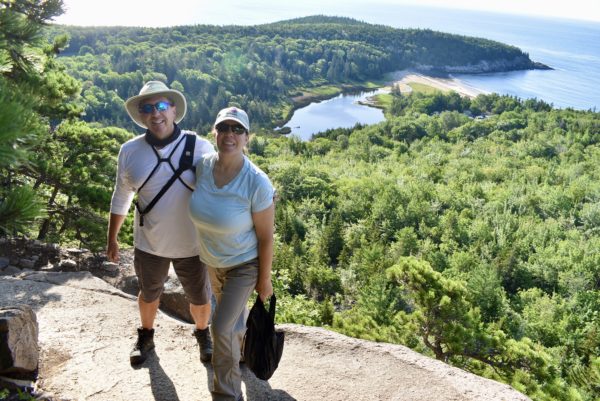
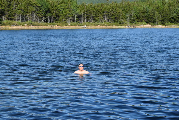
This trail leads to a fresh water pond known as “The Bowl.” Scott decided to take a swim to cool off before we continued our hike.
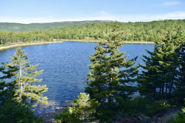
A walk along the Ocean Path is where many of the “must-see” sites of the park are located, including: Thunder Hole, Otter Cliff, Sand Beach, and Jordan Lake.
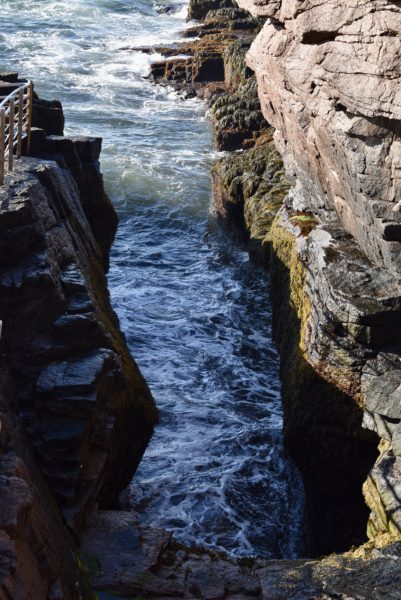
Thunder Hole, where at high tide you hear and see the pure force of nature as the ocean waves crash over the exposed fragmented rocks. The small inlet makes a thunderous noise as the tide comes in, hence the name.
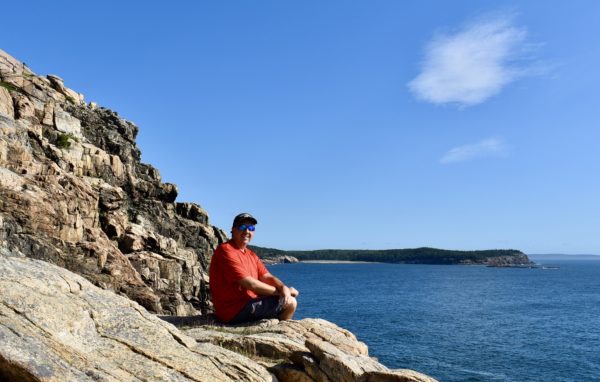
Otter Point is a beautiful place to catch some rays and watch the schooners. Unfortunately, it gets crowded here. We preferred the relaxing Schoodic side for our ocean gazing bliss.
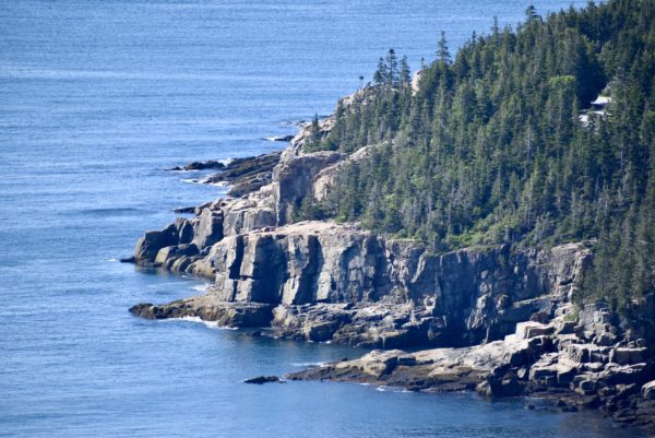
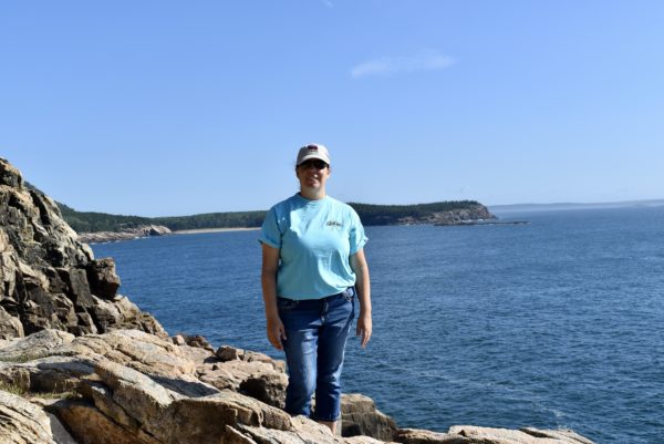
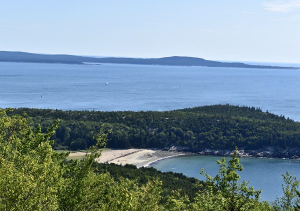
Sand Beach is also along this path. There is a small sandy beach and a cove to swim.
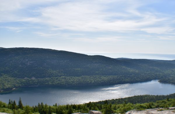
Jordan Pond is one of the park’s most pristine lakes, with outstanding mountain scenery. Glaciers carved the landscape, leaving behind numerous geological features.
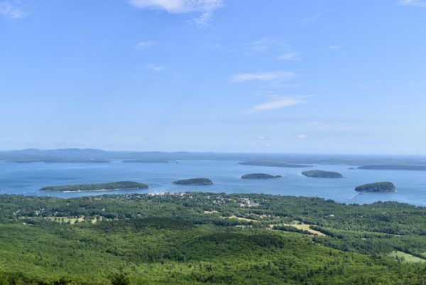
During some parts of the year Cadillac Mountain is the first part of the United Stats to experience sunrise it is also the highest point on the Eastern seaboard. We drove up here, not hiked, to see the view of Bar Harbor and Frenchman Bay. Many people come early for sunrise pictures, but we just couldn’t find the motivation to get up that early.
Precipice Trail is one of the most intimidating hikes I have ever done. I thought I was going to luck out and miss this one, as the trail was closed for peregrine nesting, but it reopened three days before we left. So off we went.
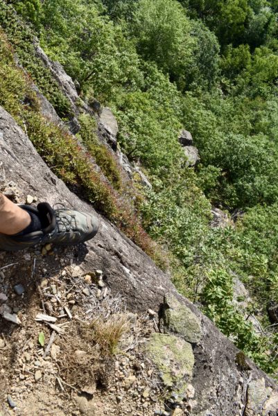
I found this description of the trail, “The Precipice Trail is the most challenging and well known hiking trail in Acadia National Park with an exposed and almost vertical 1,000 foot climb. It is designated as “strenuous” and is only recommended for physically fit and experienced hikers who have no fear of heights.” Sounds like us, right? I think the pictures speak for themselves.
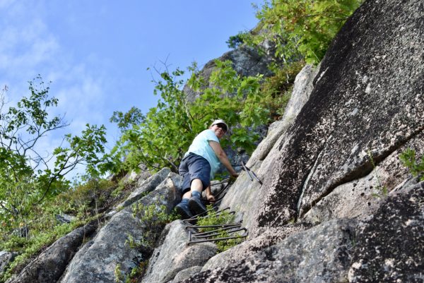
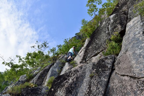
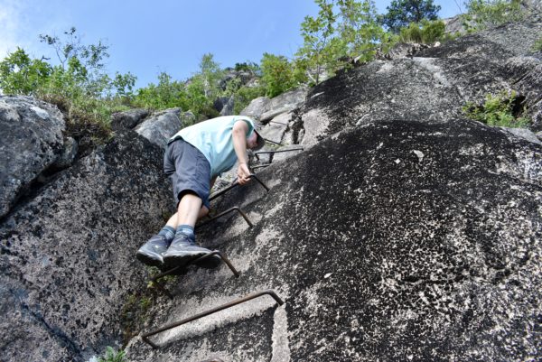
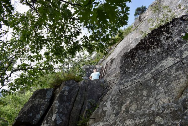
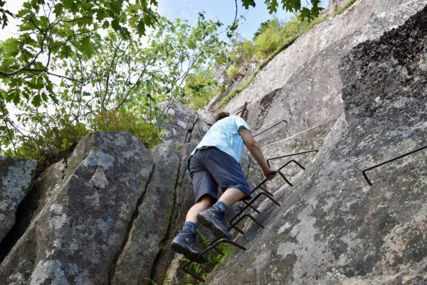
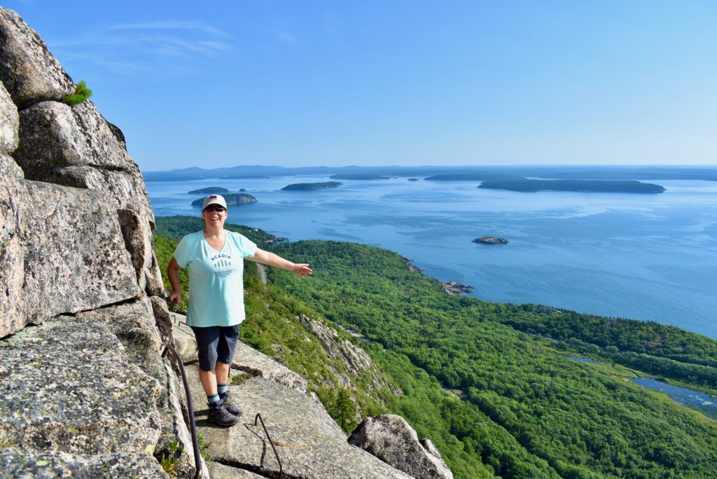
A long way down.
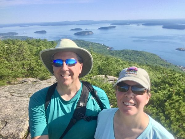
Coastal Maine is famous for its lighthouses.
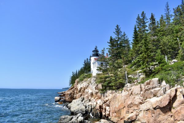
We loved Maine and hope to come back again. Our next two stops will be in Pennsylvania then on to Ohio.
Puffins & Stuff
Lighthouses
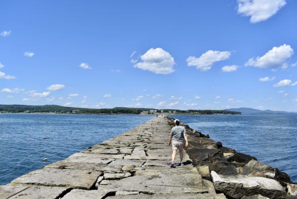
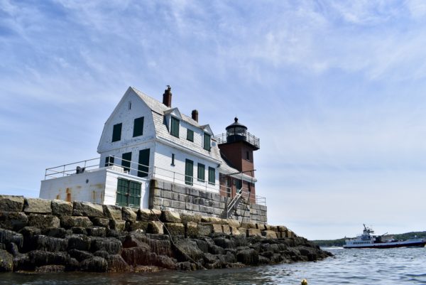
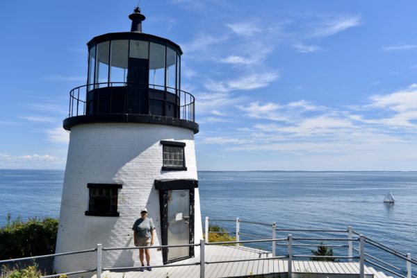
We scheduled a week in Rockport, ME originally to attend the annual Lobster Festival. That was cancelled due to the pandemic but we came up anyway. No problem finding other things to do. You can’t be in coastal Maine without visiting the beautiful lighthouses.
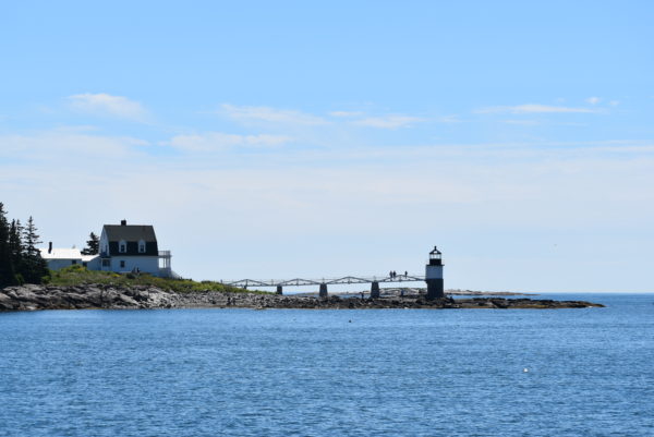
If this lighthouse looks familiar to you, then you know your movie trivia. Marshall Point Lighthouse is the lighthouse that Forrest Gump touches during his run across the country.
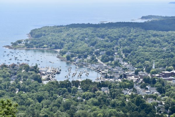
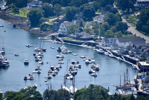
Mount Battie
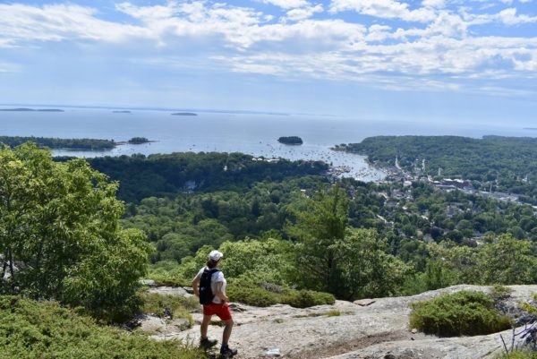
A hike with many rock scrambles to get the best view of the city of Camden.
Beech Hill Preserve
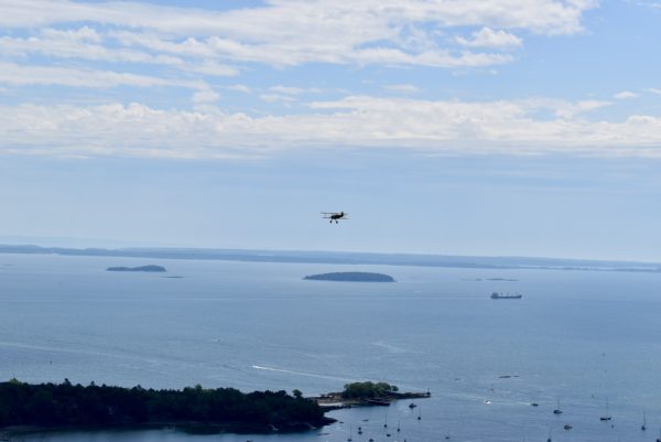
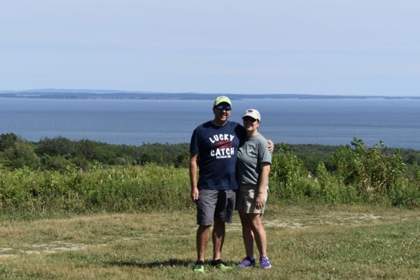
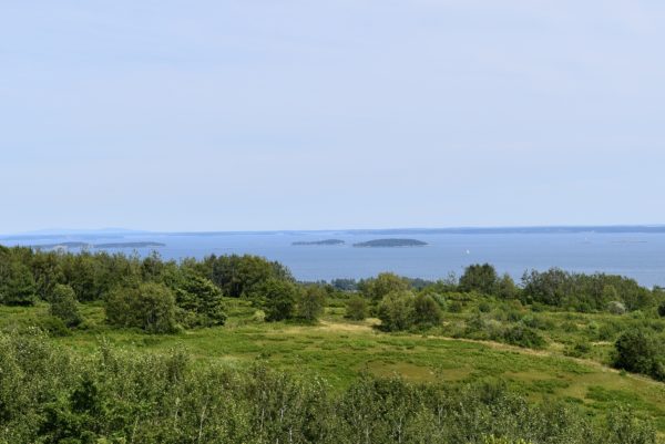
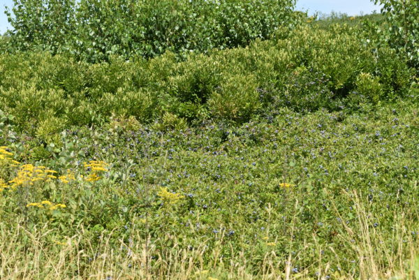
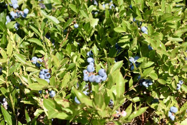
Short walk to view the blueberry fields. It was blueberry season and we couldn’t resist picking some to taste.
Speaking of eating…best lobster rolls ever at McCloon’s Lobstah Shack. Lobster hand picked and fresh off that day’s boat.

Puffins and Stuff
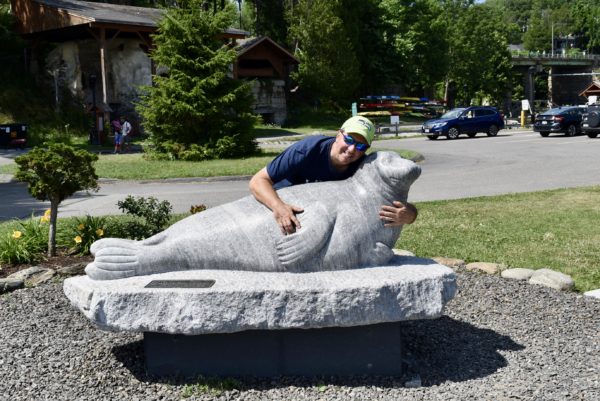
Andre the Seal (May 16, 1961 – July 19, 1986) was a male harbor seal pup found and adopted by Harry Goodridge. Harry raised the pup, hoping the seal would become his scuba diving companion, and expecting that the seal would eventually return to the wild when given the opportunity. Instead, Andre chose to stay with Harry in Rockport until his death in 1986.
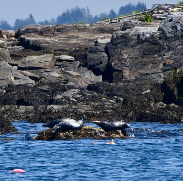
Also got to see some real seals.
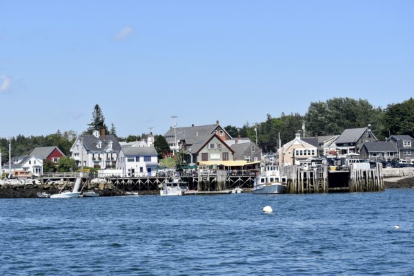
The quintessential Maine harbor city of Port Clyde.
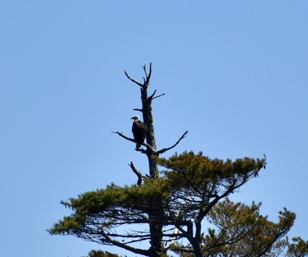
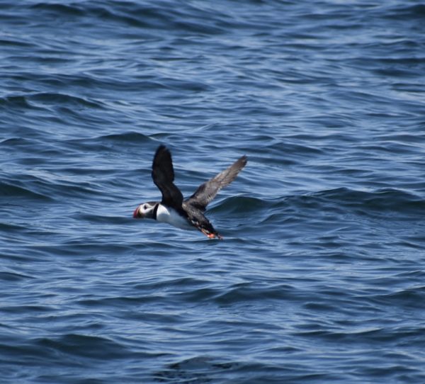
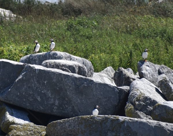
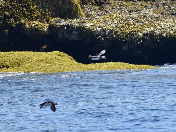
Eastern Egg Rock is the world’s first re-established seabird colony. Puffins mate for life and are smaller than most think, about the size of a soda can. They are terribly cute and we couldn’t wait to see them.
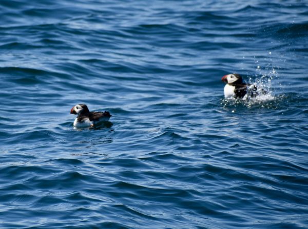
Now it’s off to Bar Harbor and Acadia National Park.
Lobstahs and Lighthouses in Portland, Maine
Old Orchard Beach
Our first priority upon arriving in Maine was to seek out a lobster roll. We took a walk down to Old Orchard Beach near our campground to scope the situation.
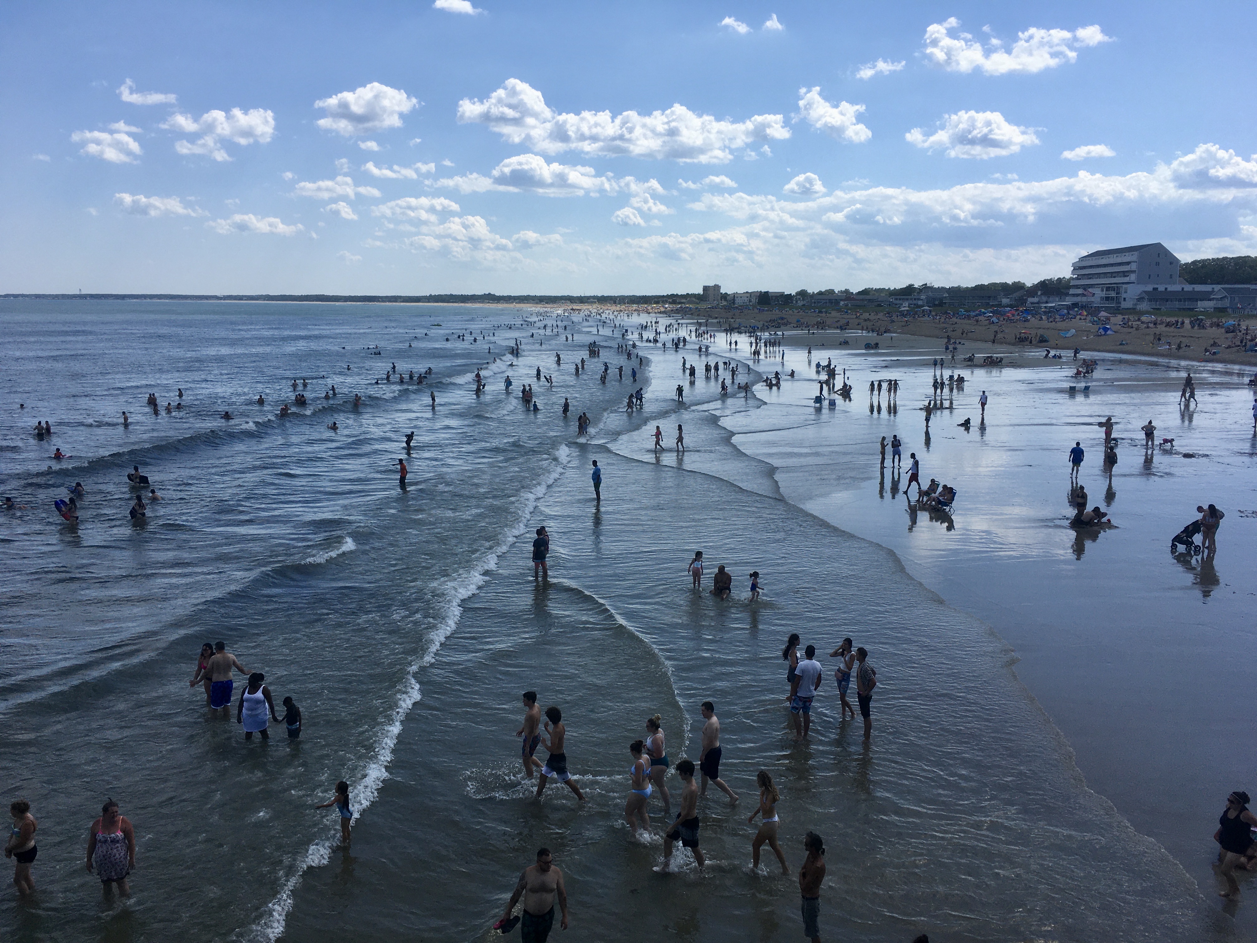
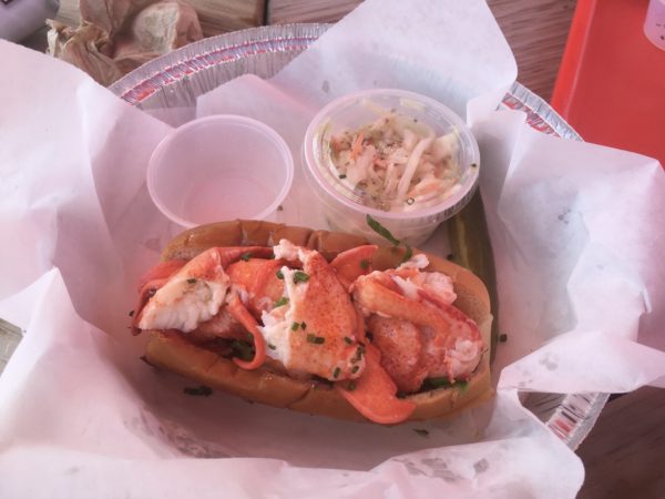
We enjoyed eating our lobster roll and watching all the beach goers walk to and from the beach. People watching is a hobby that never gets dull.
Around Portland
We were staying just south of Portland, ME and had opportunities to explore the area. Portland is a wonderful coastal city (in the summer) full of great food and sights…
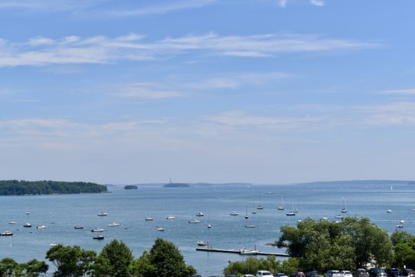
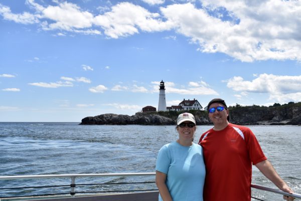
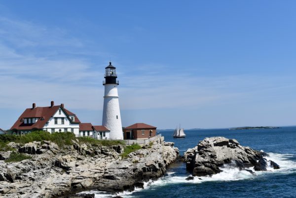
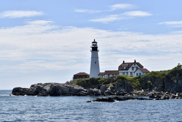
…and plenty of lighthouses nearby. Maine ranks second in the US for number of lighthouses. (Trivia: Which state has the most lighthouses?) Portland Headlight is considered to be the most photographed lighthouse in the world.
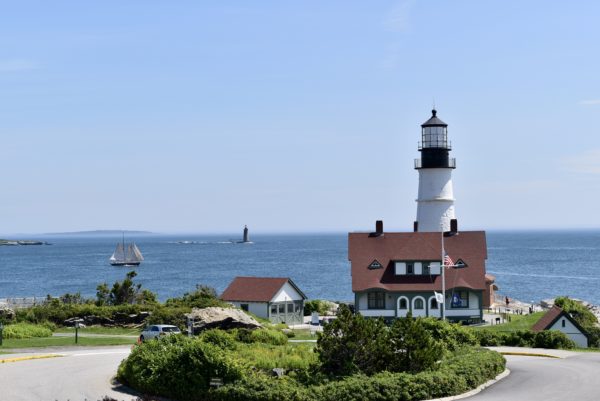
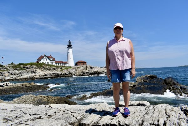
We stayed here for hours just looking and photographing this lighthouse from different angles and then ate another lobster roll.
Lucky Catch Cruise
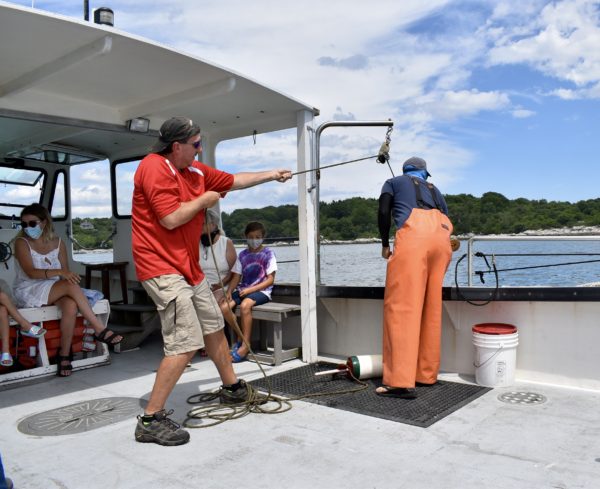
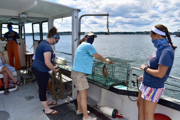
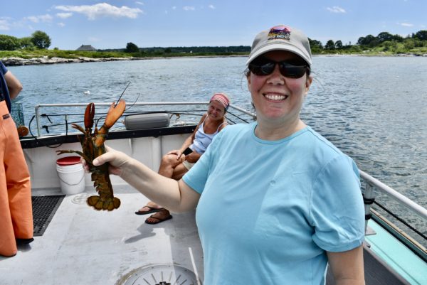
(Trivia answer: Michigan). We took a little excursion on a lobster boat where we enjoyed some sights from the water, learned about lobsters, and gained some hands on experience as lobstermen. Time to update LinkedIn…naah!
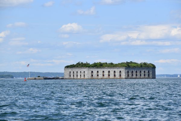
Fort Gorges is a former US military fort built on Hog Island Ledge in Casco Bay. Built from 1858 to 1864, no battles were fought there and no troops were stationed there.
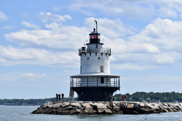
Spring Point Ledge Light is a sparkplug lighthouse in South Portland. Locally this lighthouse has been called the stag lighthouse as it has no bathroom.
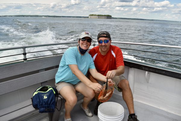
We loved our cruise as we got to participate in the lobster catching process. Unfortunately, due to Covid, they didn’t provide gloves and aprons for us. I think that would have been a cool picture of us dressed up for our new vocations.
Bug Light Park
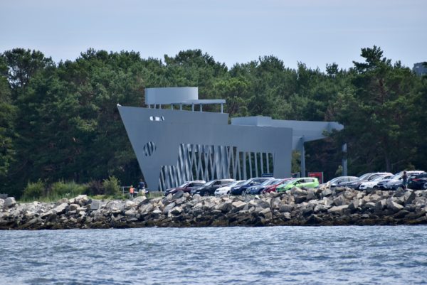
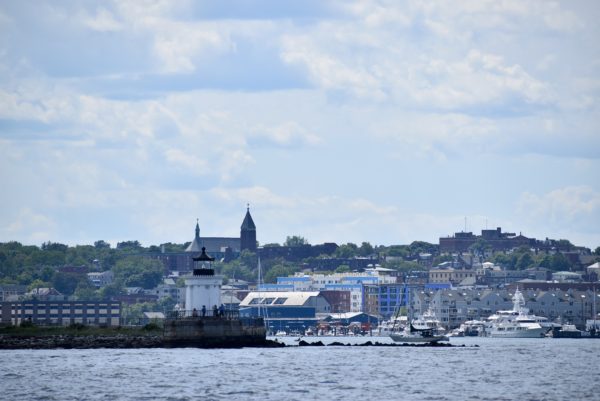
Home to Portland Breakwater Lighthouse and the Liberty Ship Memorial, this 8.78 acre park was the site of major shipbuilding activity during WWII.
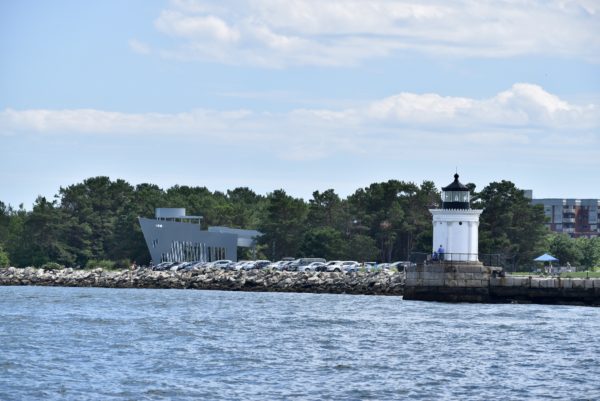
An estimated 30,000 people were employed here from 1941-1945 building liberty ships. This memorial commemorates the glory days of this industry.
Portland Breakwater Lighthouse was built in 1875 and is one of Maine’s most elegant lighthouses. It was dubbed “Bug Light” due to its small size.
Kennebunkport
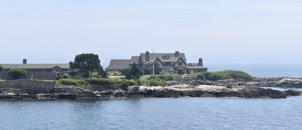
Historically a shipbuilding and fishing village, Kennebunkport, has gained popularity for being the summer home of the Bush’s. We tried to see if any of our fellow Texans were at home, but Secret Service wouldn’t let us in.
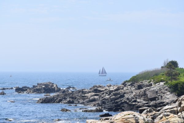
Maine is off to a great start. Looking forward to our next adventure as we continue on to Rockport, ME.
White Mountains Matter
We spent a month in New Hampshire near the White Mountains for some outdoor activity. The rainy weather limited our hiking but we still got to see some great vistas and experience some of the natural beauty that is New Hampshire.
Kancamagus Scenic Byway
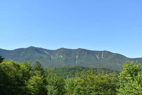
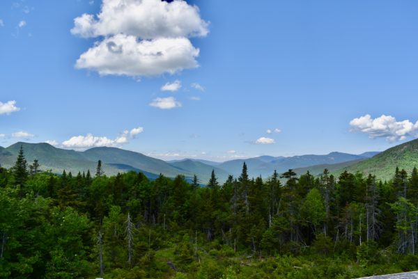
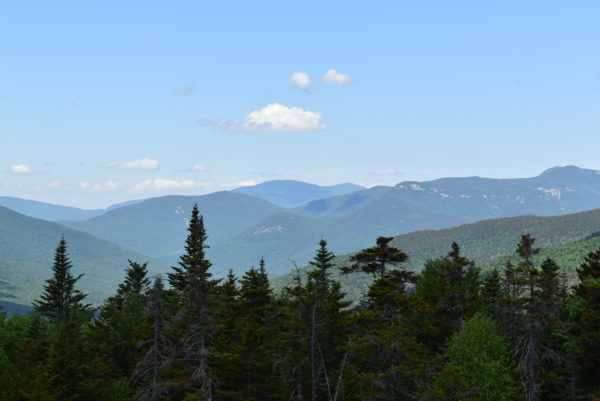
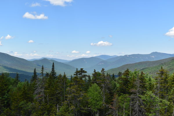
But first a scenic drive along the Kancamagus Scenic Byway (Route 112 Lincoln to Conway). Along the road you travel through the White Mountain National Forest.
Flume Gorge
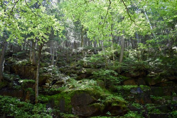
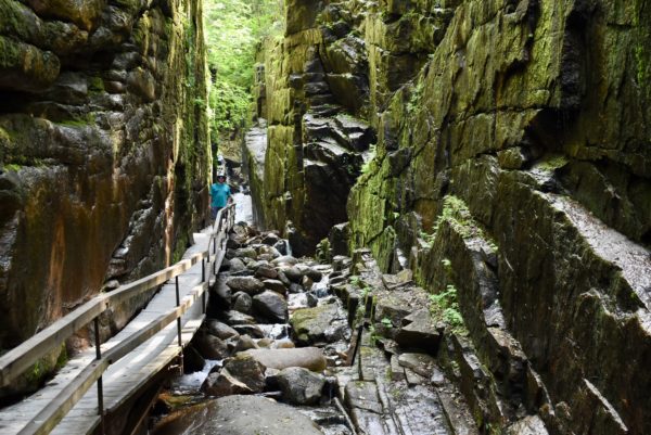
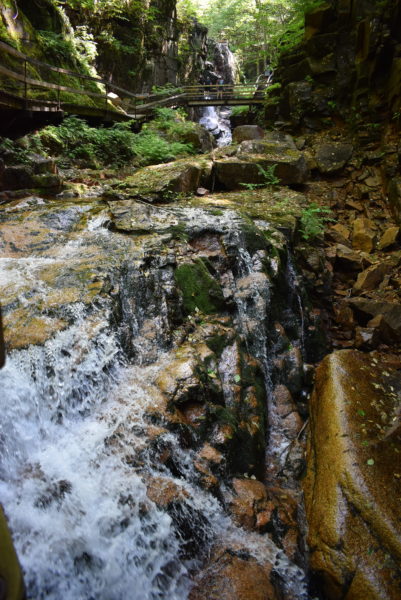
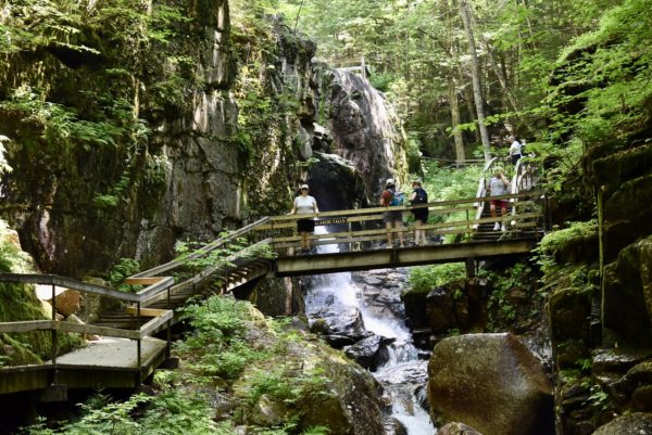
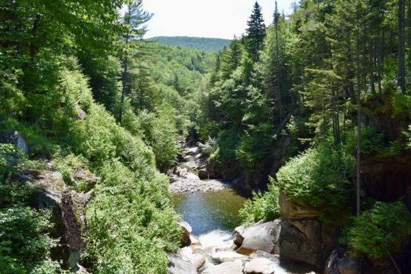
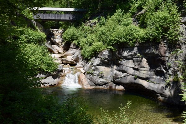
The Flume, discovered in 1808, is a natural gorge extending 800 feet at the base of Mount Liberty. The walls of Conway granite rise to a height of 70 to 90 feet and are 12 to 20 feet apart. The Flume Trail is a 2-mile loop.
Stinson Mountain & Sabbaday Falls Trails
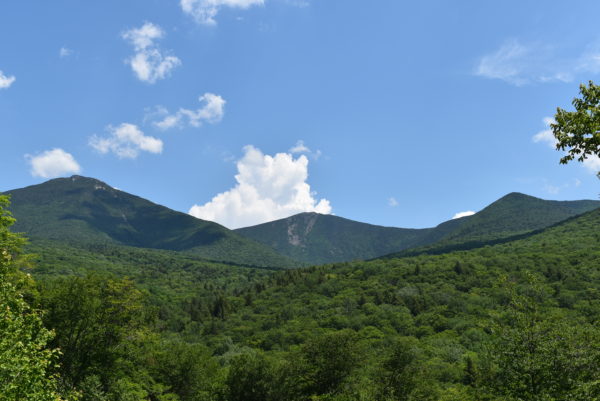
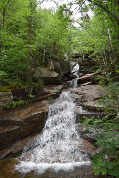
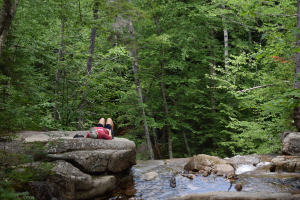
Stinson Mountain Trail is a 3.6 mile trail with an elevation of 2,900 feet and is the only way to the summit of Stinson Mountain.
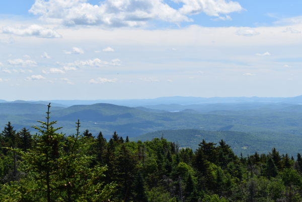
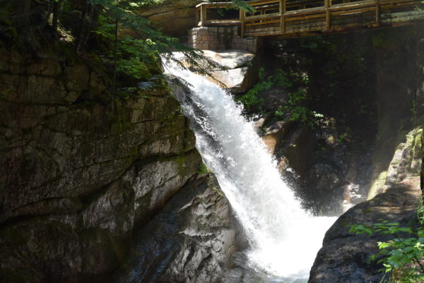
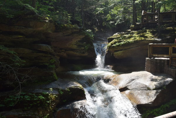
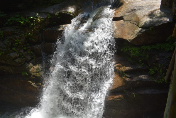
Sabbaday Falls Trail is a short hike with a beautiful view of the falls.
Mount Percival Loop Trail
One of the best hikes in the White Mountains is Mount Percival Loop. Its views from the summit are gorgeous.
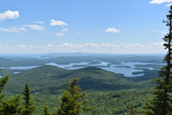
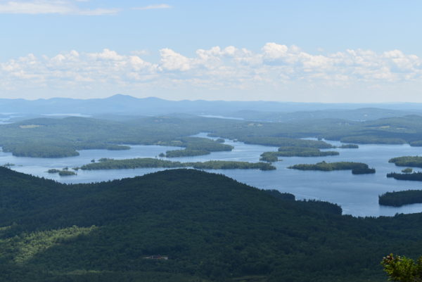
Squam Lake is the summer playground for many residents and visitors. The 1981 film On Golden Pond was filmed in the town of Center Harbor on Squam Lake.
Mount Washington Auto Road
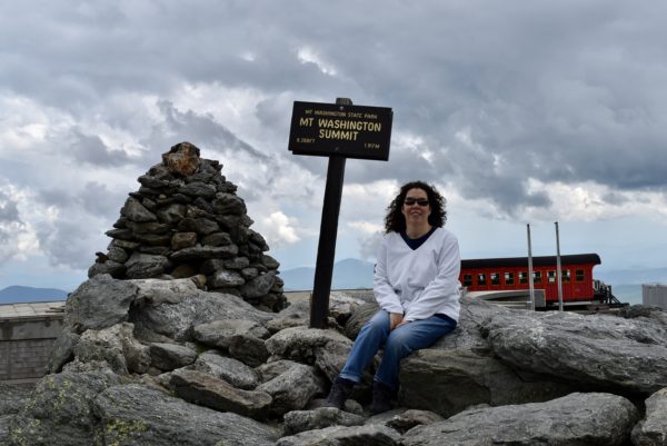
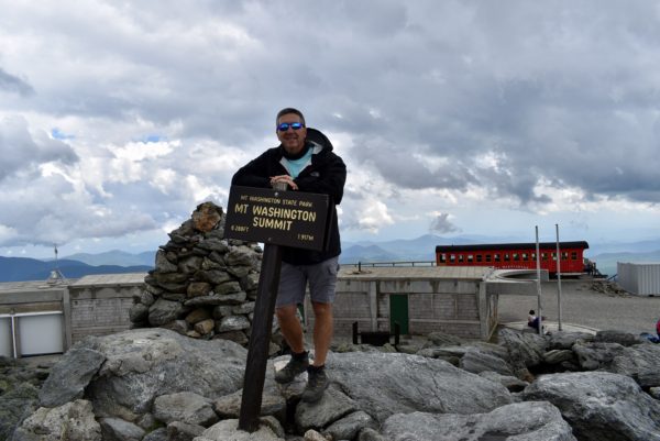
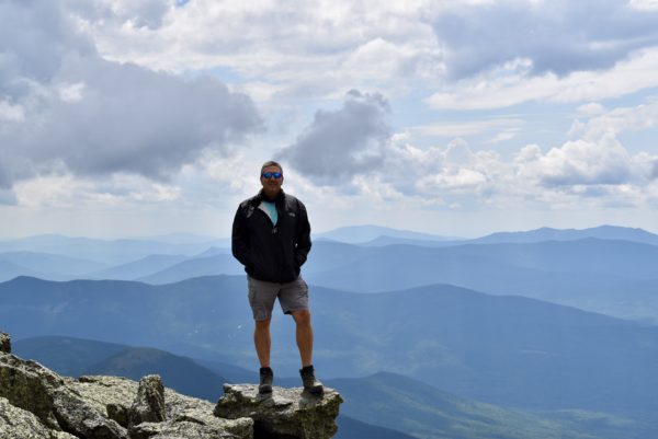
Instead of driving the 8 mile, sometimes narrow and very steep road ourselves, we opted to take the guided tour in a van to the top. On a clear day you can see the Atlantic Ocean to the east and into Canada to the north. Our visibility wasn’t quite that good, but we still could see several miles in all directions.
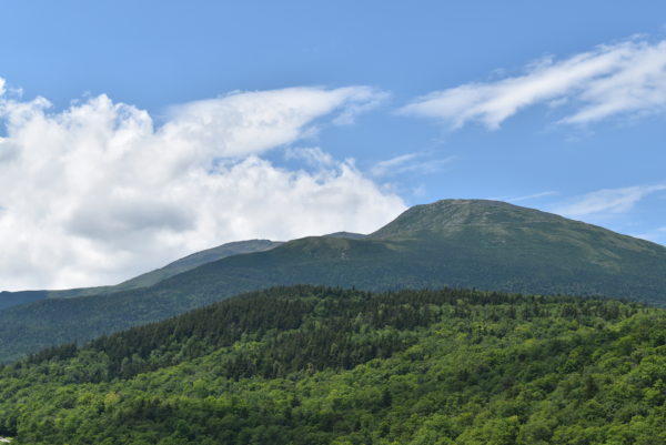
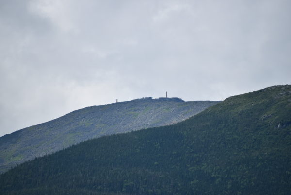
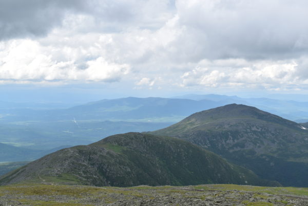
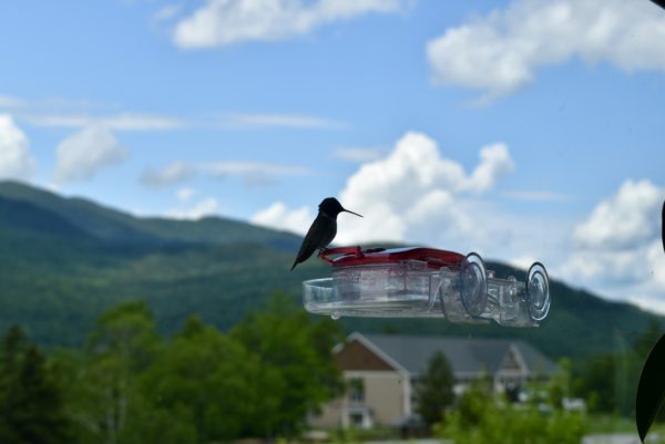
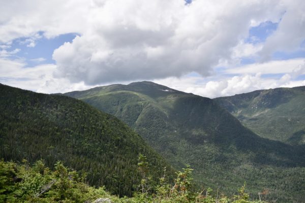
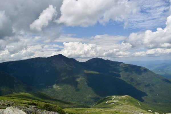
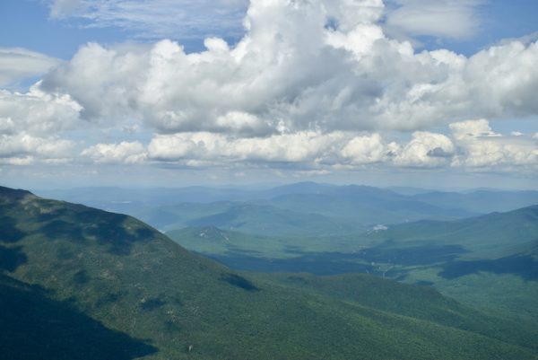
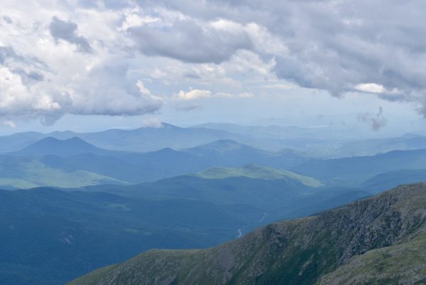
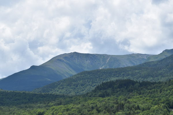
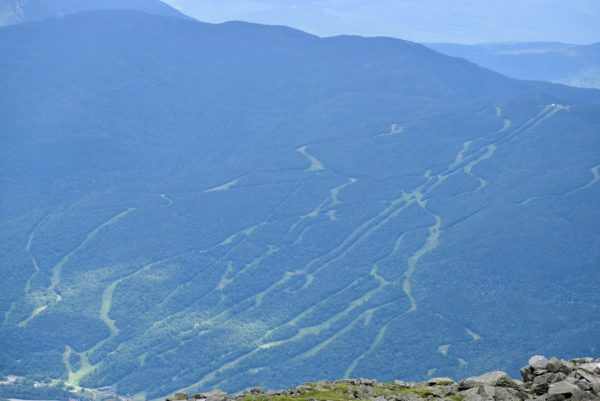
Mount Washington is the highest peak in the Northeastern US at 6,288.2 ft and the most topographically prominent mountain east of the Mississippi River.
The mountain is notorious for its erratic weather. On the afternoon of April 12, 1934, the Mount Washington Observatory recorded a windspeed of 231 miles per hour at the summit.
We hope everyone is staying well in these surreal times and are looking forward to seeing you down the road.